Cordillera Blanca Traverse
A long route beneath the glaciers of the Cordillera Blanca in Peru: high passes, snow, river fords and mostly no marked trail. A guide and notes from my trip.
Go if you
- enjoy off-trail navigation and high passes
- are well acclimatised (I had already spent about a month at altitude)
- can handle snow, frost and resupplying in villages without a plan
Skip it if you
- want a marked trail (that exists only on the classic Santa Cruz trek)
- go early in the season without experience of snow and an ice axe
- do not want to deal with permits, transport and hitchhiking
The hardest parts
- snow on the passes earlier in the season, for example the couloir below the 5,050 m pass
- finding the way through tussock grass, bogs and scree without a trail
- food and water: stomach problems troubled me for many days
How I hiked it
Cashapampa and the Santa Cruz valley
start 2,950 mArtesonraju 6,025 mTaullipampa
At eight in the morning I am in Chiquián and a bus takes me to Huaraz. Ahead of me is probably the most adventurous hike of my life, one that only a few people had done at that time. Until now I had hiked trails or other people’s coordinates. Now I only have a drawn route put together from satellite images, contour lines and Cam’s notes from Australia. On his website thehikinglife.com there is now also a map of his hike.
Chiquián (3,400 m), Huaraz (3,100 m), Caraz (2,250 m) and back up to Cashapampa (2,950 m): a whole day of minibuses and views from the window. I arrive in Cashapampa at half past five and there is nobody at the national park gate, so I carry on. In under two hours I cover 4 km (756 m of ascent, 212 m of descent) and camp in the canyon.
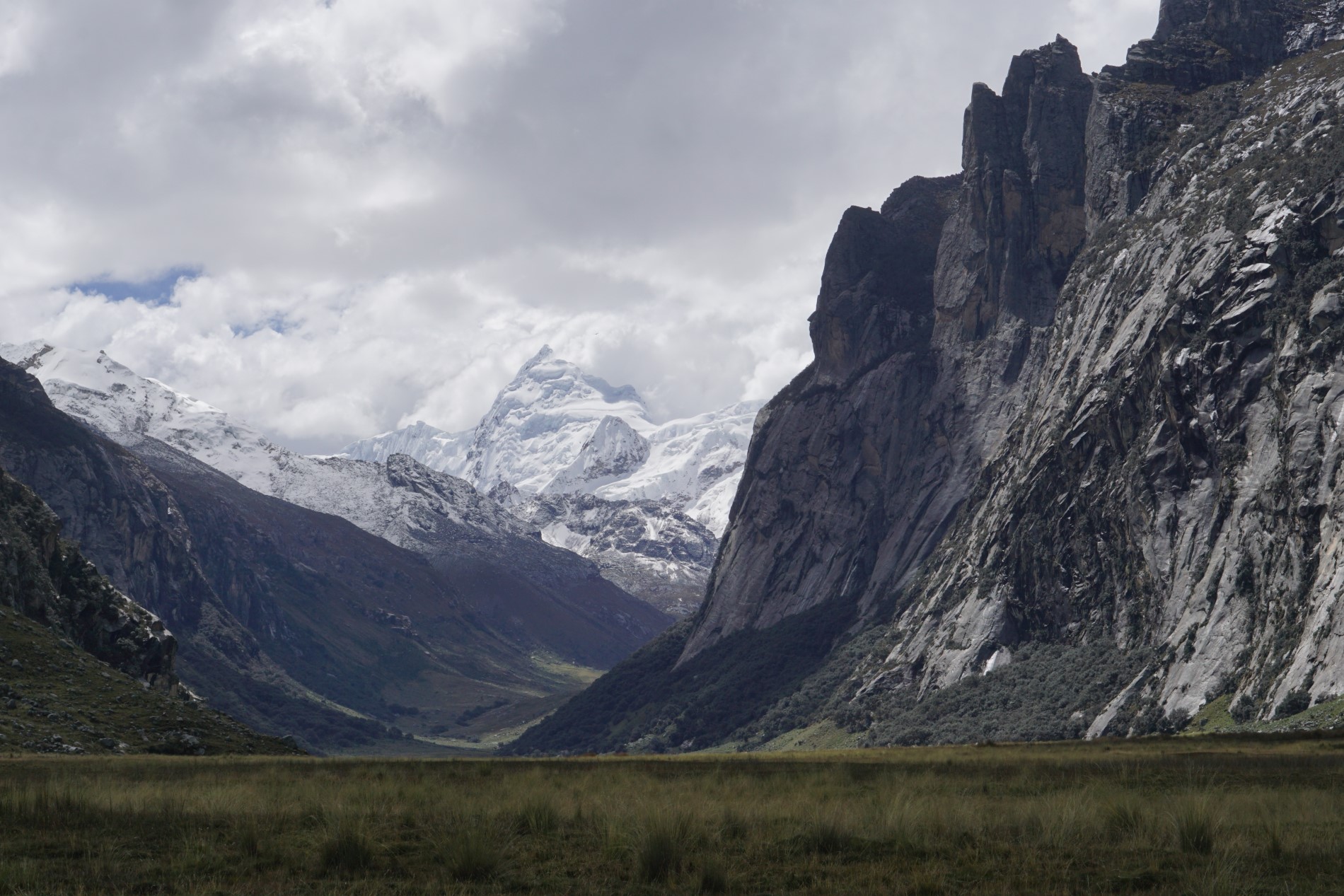
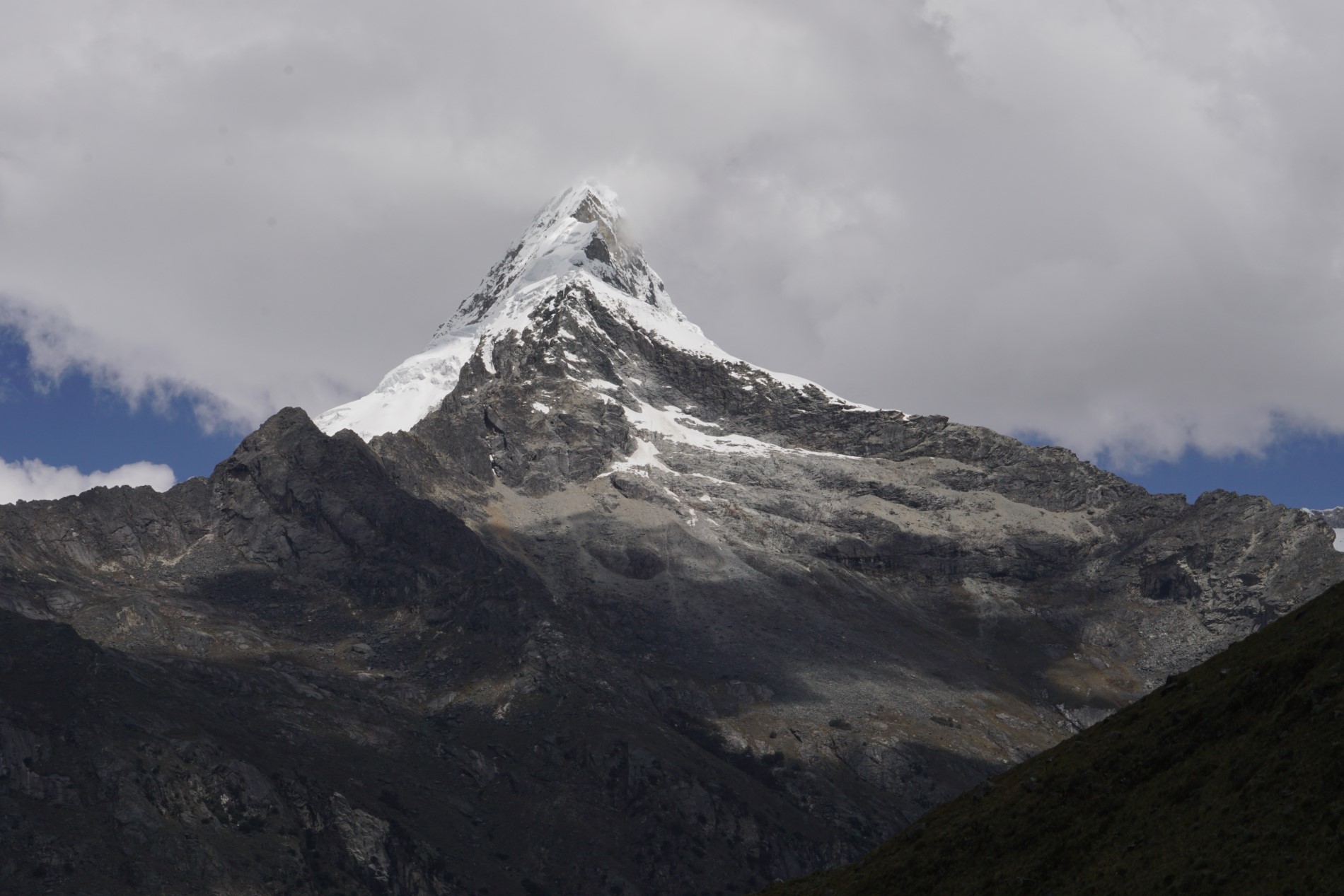
I set off at 6:40 in the morning and meet dozens of people going the other way. Whoever goes in the opposite direction has less climbing and easier connections back to Huaraz. At one o’clock I am at the glacier viewpoint by Lake Arhuaycocha, with Artesonraju (6,025 m) standing across the valley. Although I filter all my water, my stomach complains, so at half past three I camp at Taullipampa with a view of Tullparaju (5,830 m). In the evening at the tent I meet a Slovak couple, Lucia and Miki, who gave me charcoal and warm water.
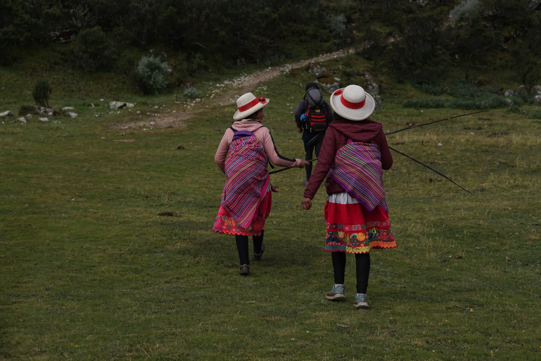
Punta Unión, Colcabamba and Pico Mateo
Punta Yanayacu 4,840 mPico Mateo 5,150 m10 soles for lunch
After two hours I am at the Punta Unión pass and then I just descend through forest, past a stream and meadows full of cows, horses and llamas. At two I leave the park, find out in a shop that there is no bus on the main road any more, so I go via Colcabamba. There I talk one family into serving me lunch: a full plate of rice, chips, an egg and avocado for 10 soles (€2.50).
In the morning at 6:40 I find a wide trail along the contour on the west side of the valley. Just below the pass it narrows and leads along a steep drop: a small slip and you are deep in the valley. Around eleven I am at the Punta Yanayacu pass (4,840 m). Behind it await Chopicalqui (6,354 m) and a view of Huascarán.
Below, a car takes me from the road to just before the tunnel and the serpentines climb from 4,000 to 4,750 m (10 soles). From there I go to Pico Mateo (5,150 m). The slope is at most 30°, the tracks are trampled, I take an ice axe and microspikes. The snow is more melted than I would like, but I am on the summit an hour and a half after the car park.
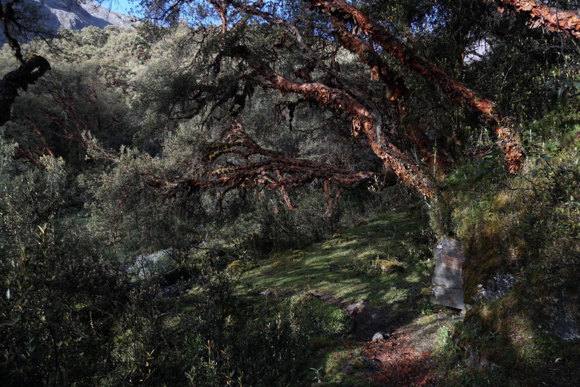
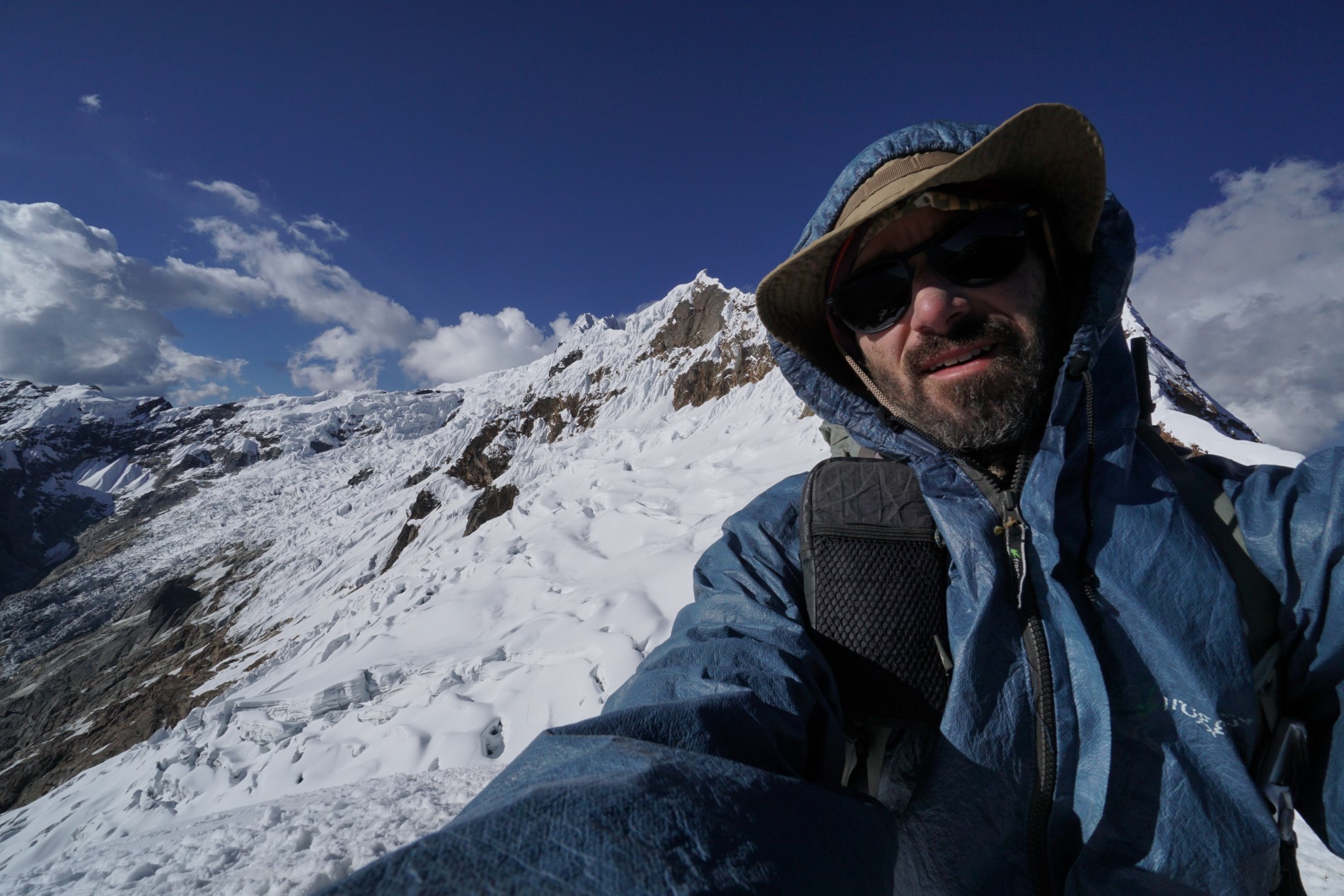
Chacas, the Honda valley, Akilpa and the pass above Ishinca
pass 5,050 mcouloir 30–35°the only forest on the route
In the morning a truck (Klement) picks me up, and for the next kilometres to Chacas and the Honda valley I mostly hitchhike. At 3,800 m I climb on an old road and choose a wider trail to a different pass than the one on my map. Both lead into the Honda valley. Below is a wide trail covered in moss and it seems people hardly come here. At the end of the valley a road leads up to almost 5,000 m to the mines, and according to my diary, also because of illegal mining, the valley is little visited.
After an hour of descending the trail breaks up into several small ones, and I look for the way along a ridge and animal trails by the rock. Do you know what is slipperier than a wet stone? A wet stone with cow dung. I pitch my tent just before dark and fall asleep at once. The next day I descend 13 km and for the last four a tuk-tuk takes me for 5 soles. At the entrance to the valley both the driver and the passengers sign in at the gate of the Honda valley community.
From the turn-off into the Akilpa valley I climb about 10 km and 1,000 metres of elevation, mostly through a wonderful forest. Cam also wrote that it is the only forest on the whole route. I do the last steep part in snowfall and pitch my tent by a lake before six.

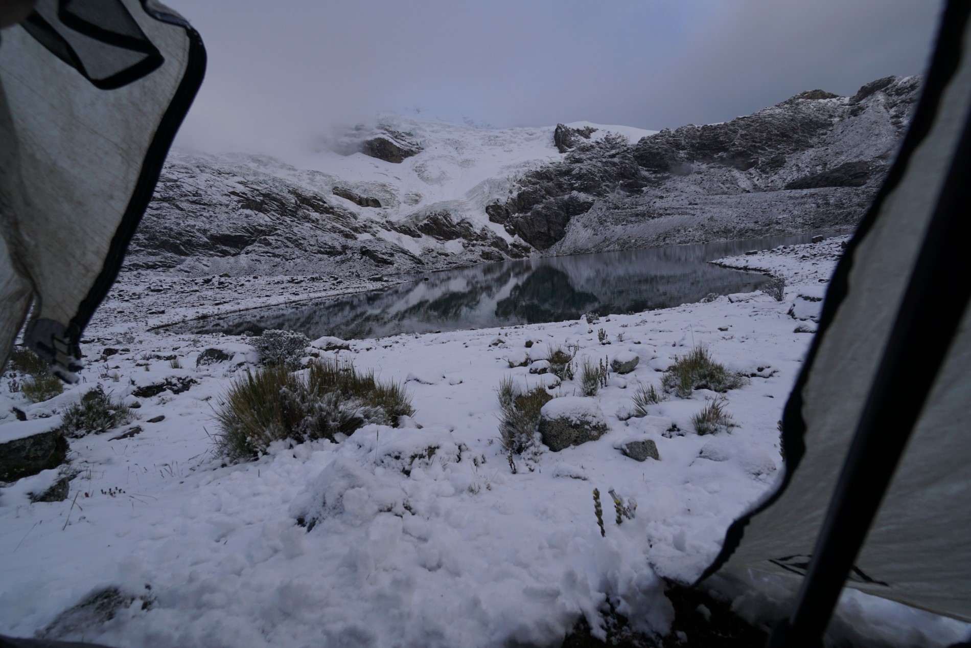
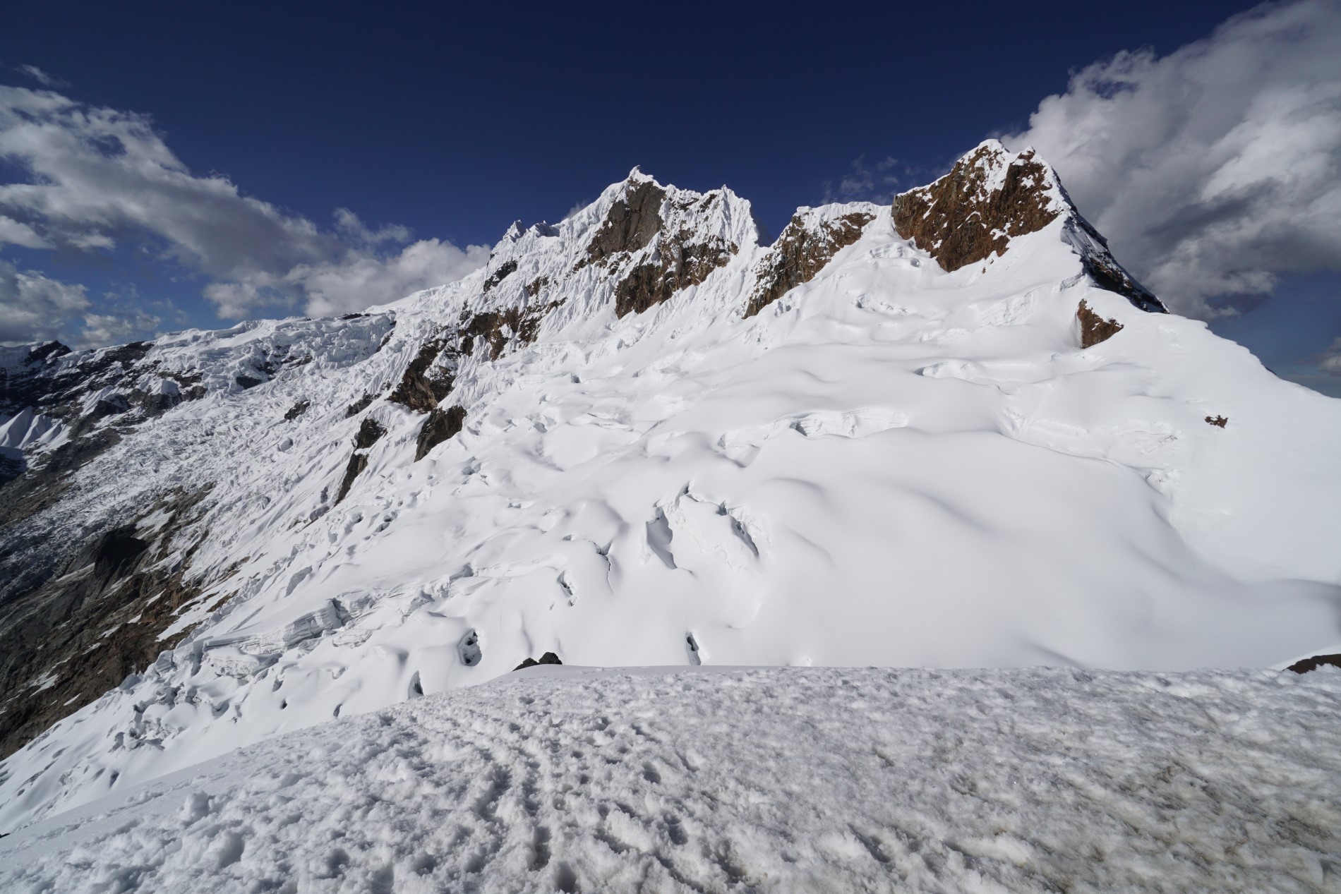
At the 5,050 m pass there is more snow. From the pass a couloir with a 30–35° slope leads straight down. I put on microspikes, take the ice axe in my hand and go very slowly, making steps and planting the axe. A guide with crampons would do it as a walk; it took a lot out of me. At ten I am at the pass, and at lunch already at the Ishinca hut, where groups climb the surrounding peaks all week.
Huaraz, the Cojup valley and Huapi Pass
Huapi Pass 5,080 m20 km, +1,501 mShallap skipped
In Huaraz I rest at the couchsurfer Holger’s, and buy medicine and food for five days. The town has changed in 13 years and it is not a place where I long to be. I decide to continue the route, skipping two or three passes.
In the morning Holger takes me to town, and at an agency I sort out transport to the gate of the Cojup valley (20 soles return, 15 one way; city bus no. 15 to the village of Unchus costs 1.5 soles). The gate is closed, so I jump over a half-metre stone wall. For a full 12 km it is a regular road, and at the end there is an empty shepherd’s hut, an antenna and a dam. I traverse to Huapi Pass (5,080 m) over rocks and animal trails, and during a shower I hide for half an hour under a big boulder. Today comes to 20 km, 1,501 m of ascent and 662 m of descent. I pitch my tent by the river at around 4,700 m.
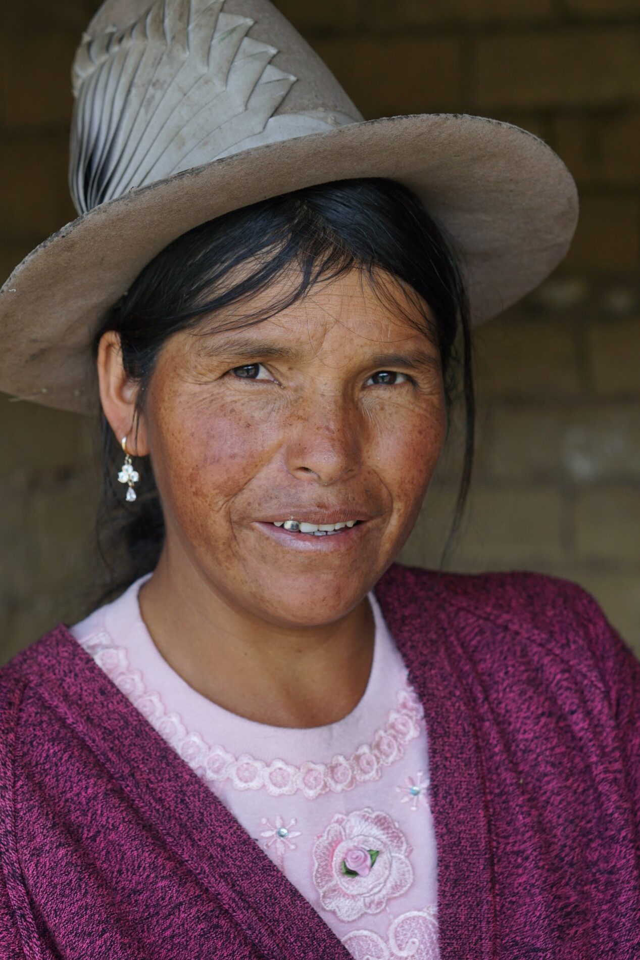
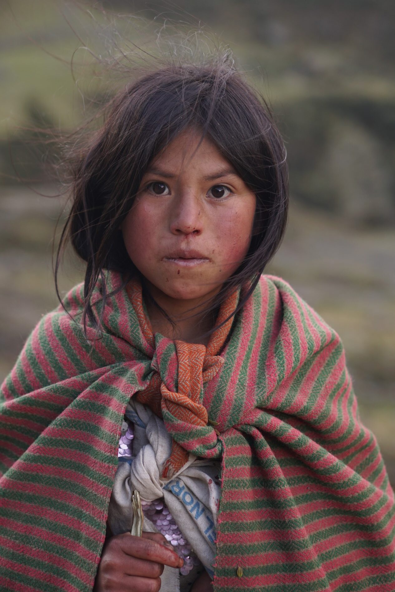
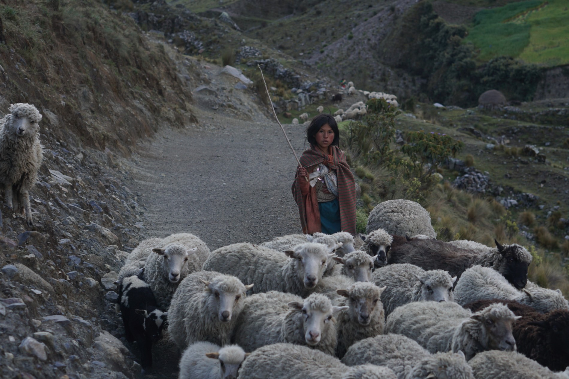
In the morning I see a coloured sky and Lake Tullpacocha, then I descend a “family” valley: cows with calves, sheep with lambs, horses with foals and finally a donkey with two little donkeys. Through the village of Janco, where the locals do not want to be photographed, I get to the Rajucolta valley.
In the evening I study the next pass: the Rurec valley heads southwest and the detour would be very long. Either I cross it tomorrow or I go back to Huaraz.
Rurec, Querococha and Chavín
snowfall and frostNevado Shacsha 5,703 mChavín
In the night I twice shake a centimetre of snow off the tent and twice there is thunder. At four in the morning it is freezing, I pack my shoes in a plastic bag so they do not freeze and set off in wet socks. An hour later I descend so low that the sun shines on me. In the Rurec valley there are massive glaciers and Lake Tarahua, by which I find a trail and the abandoned shepherd’s hut where, according to Cam, he sheltered from a storm.
Then comes a long off-trail section: a boggy valley, bridges, an hour of steep climbing up a slope without a trail and an hour down. Finally 600 m to the pass above Lake Querococha, with Nevado Shacsha (5,703 m) towering behind me. For the first time there is wind in the air. I pitch my tent just before the pass, and see my first vicuña.
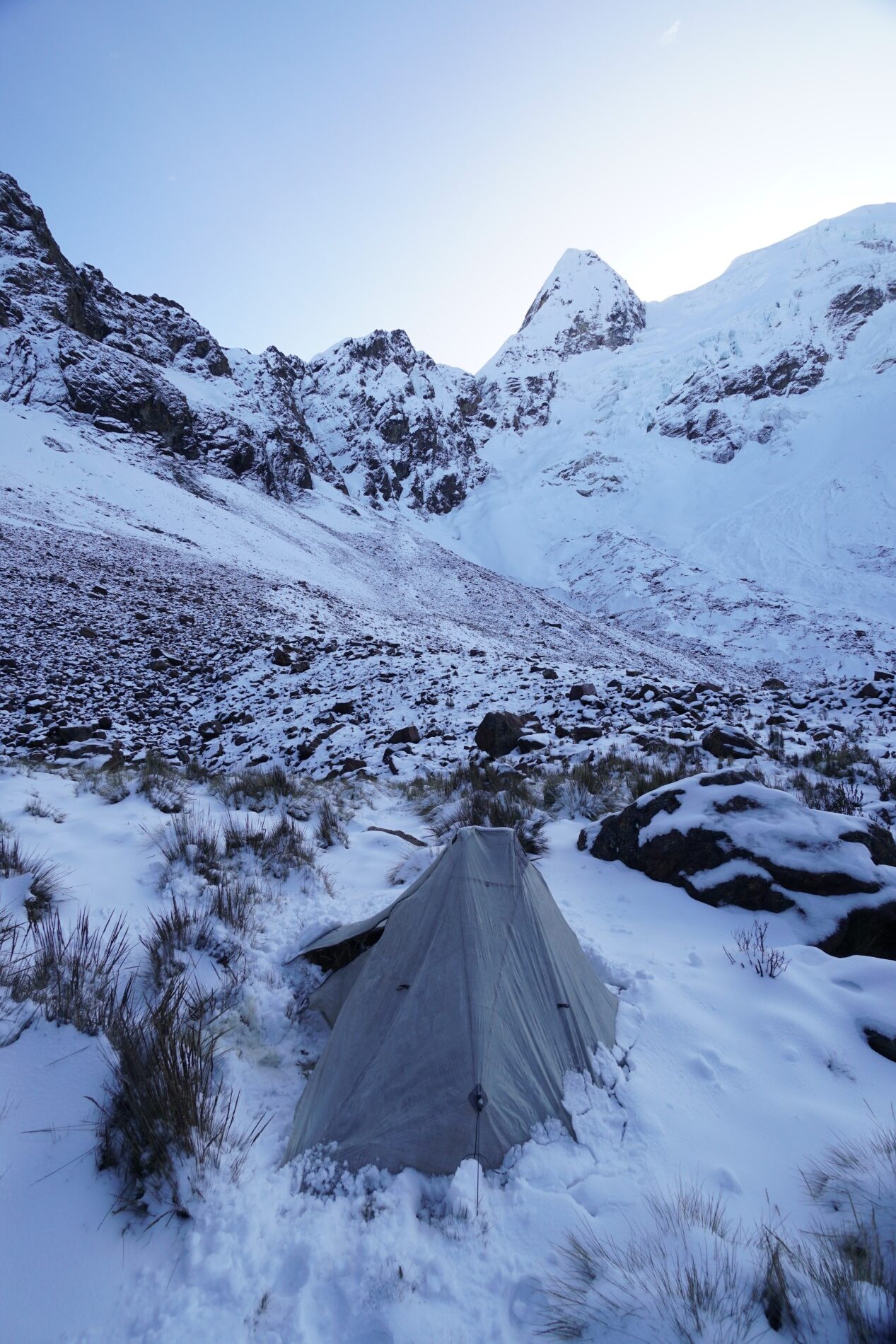

In the morning it is freezing and the flakes in the night had bits of ice in them. By Lake Querococha I find a trail and three dogs come with me. At nine I am on the road, and after five minutes I hitchhike Enrique, who takes me to Chavín. In Chavín I restock for three days and find out that connections to the villages of Chicucanca and Jato are uncertain.
Queshque, Puya raimondii and the Pastoruri glacier
Puya raimondiirain and a shepherd’s hutPastoruri 4,850 m
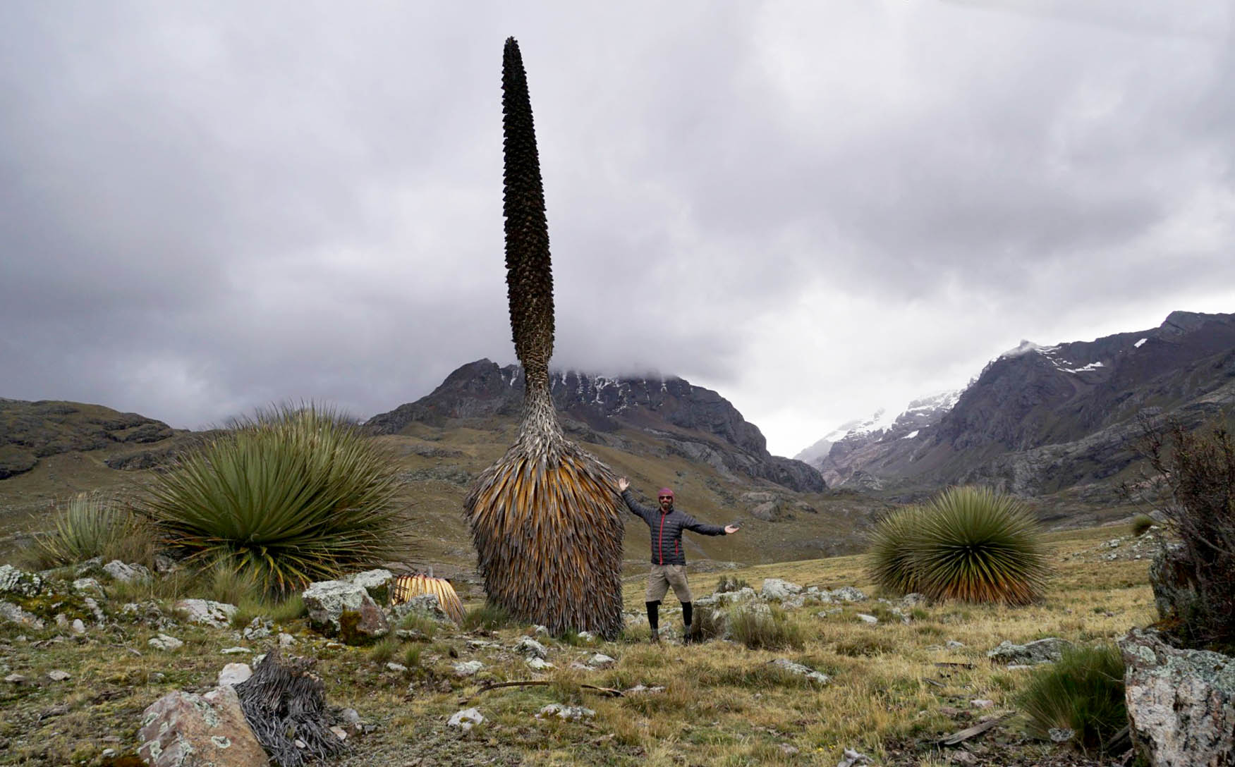
After the eastern loop (below) I return by bus to Querococha and continue with the last section. After the third pass I descend to Lake Queshque and on the slope I see hundreds of black poles: Puya raimondii, the Queen of the Andes, the largest bromeliad in the world. It blooms only once in its life and then dies. Many have burned; a few dozen are more than five metres tall. I am glad that I did not skip the last section.
Rain comes and I find an abandoned shepherd’s hut where, according to Cam, he also sheltered. It is unbelievable that I ended up in the same place in the same situation. The morning is clear, but I only have food left for breakfast, so I go straight to the road. I cross a bog, tall grass and ford a knee-deep river. At ten I am on the road, and I find more queens of the Andes on the opposite slope.
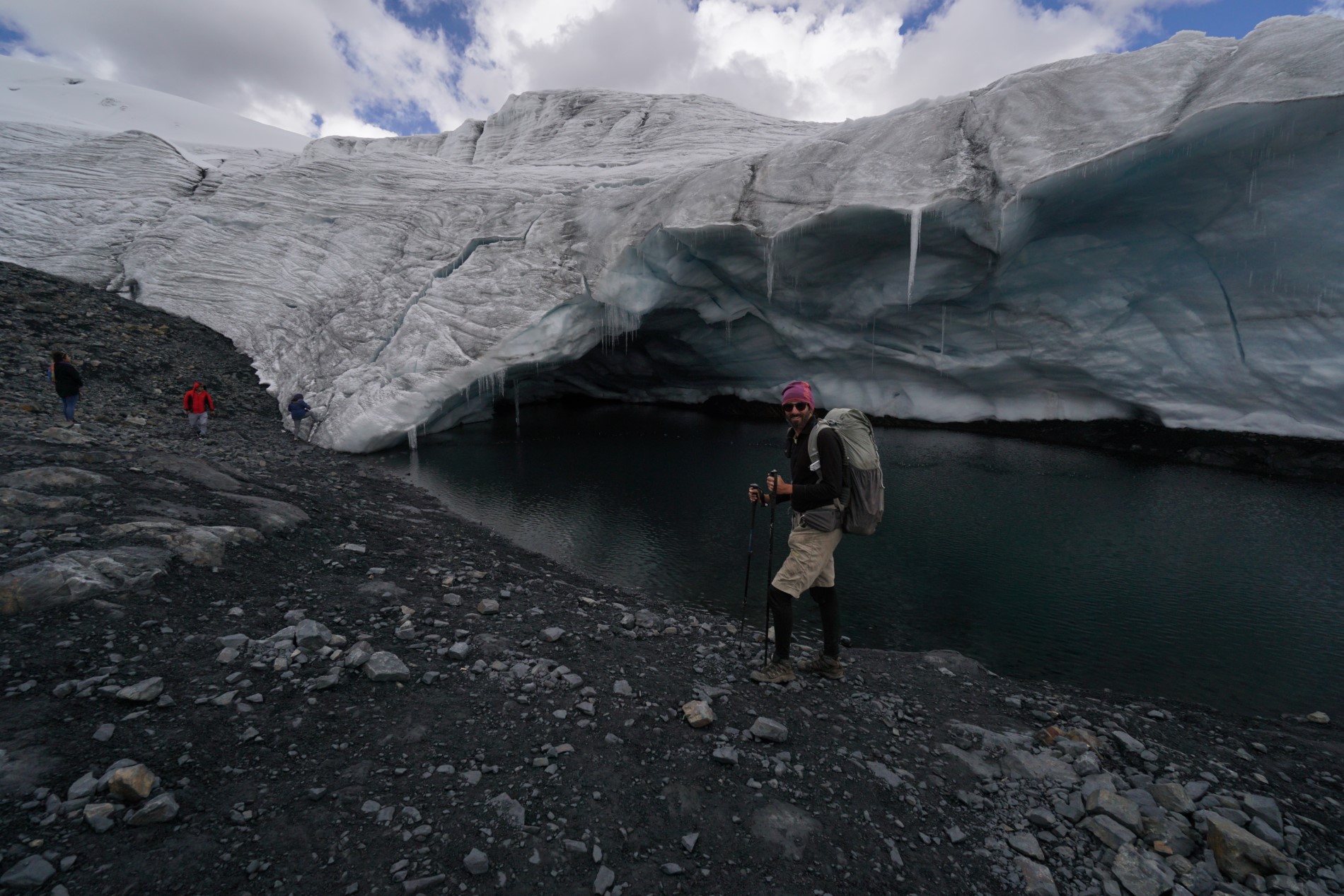
It is another 15 km uphill to Pastoruri, but after a quarter of an hour a car stops and takes me on the back. From the car park (4,850 m) I climb straight to the glacier, which falls directly into a lake, and I am there completely alone. My route ends here; a family I meet at the lake gives me a lift to Huaraz.
Eastern loop Chavín → Chavín
38.7 km+1,840 m / −2,440 mTumarina, Maparaju Bajo
Since I am in Chavín anyway, I look at the Cordillera Blanca from the east side too. This loop is not part of the 340 km of the main recording; it has a separate record on Outdooractive (38.7 km, 1,840 m of ascent and 2,440 m of descent). I camp only at 4,000 m, there is no frost in the morning, and most of the day I go off-trail, using landmarks and passes.
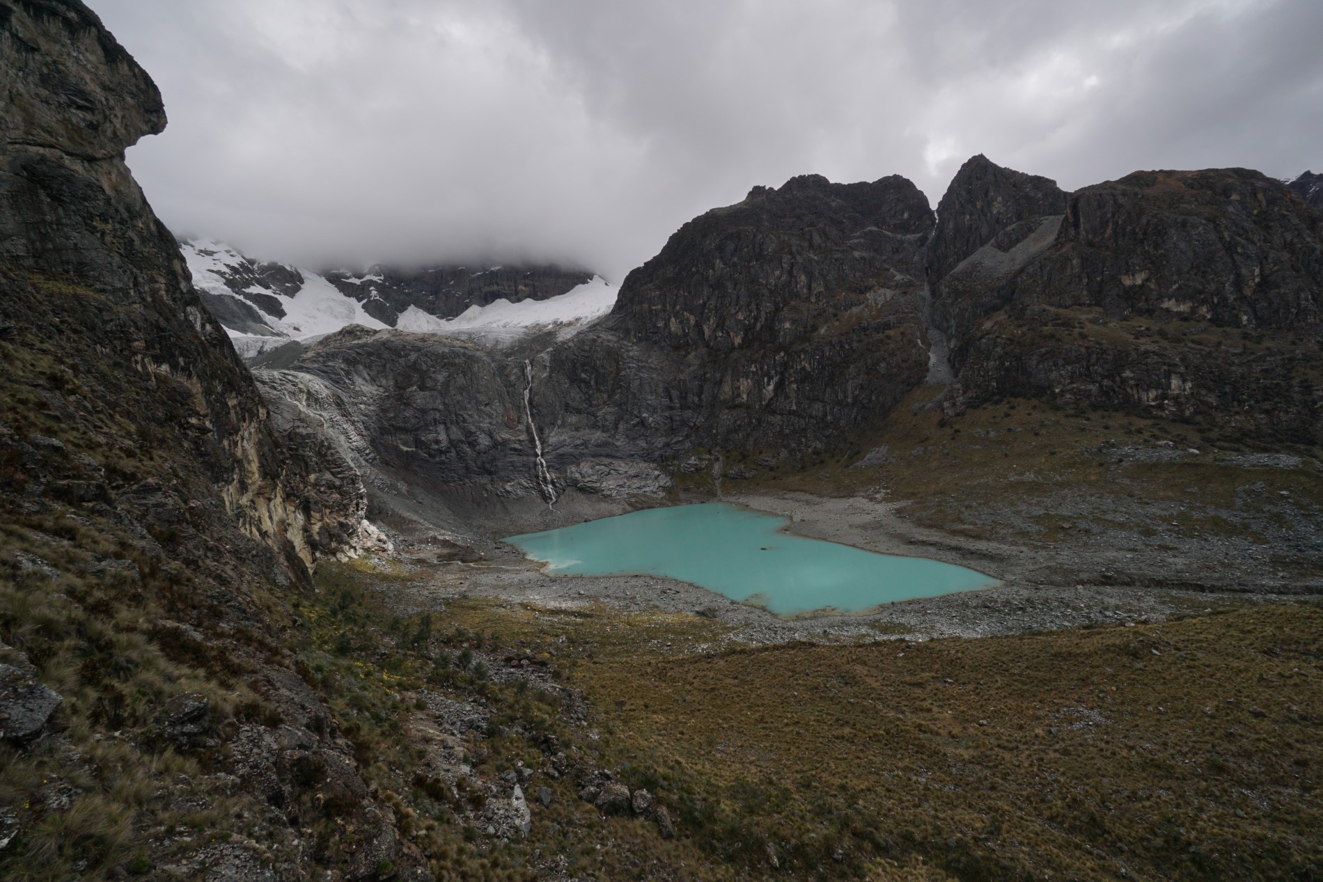
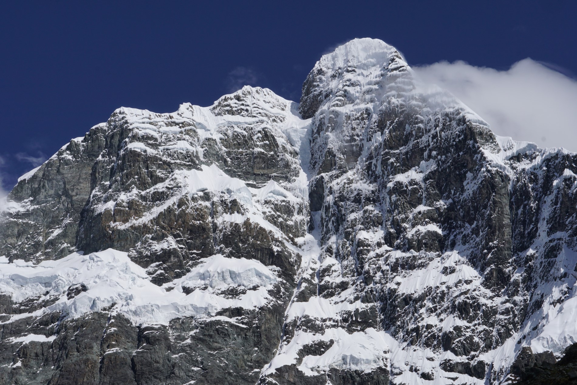
The climb to the first pass, Santa Rosa (4,780 m), is straightforward. Above 4,580 m I see another pass with a cairn (4,870 m), I traverse and it goes fine. From the pass I see the turquoise Lake Tumarina and Huantsán (6,395 m). The hardest is the section to Lake Tumagarañon: finding the way without bushes, grass and bog. I pitch my tent at Lake Maparaju Bajo.
In the morning I descend for five hours through empty plains, sheep trails and abandoned shepherd’s huts. In the valley there are more trees than in all the valleys of the western part of the range put together. Via Yurayaco and Acopara a car takes me to San Marcos and from there I return to Chavín. At four I board a bus back to Querococha, where the main route continues.
My route on the map
A recording of my trip (340.5 km according to Outdooractive; the eastern loop Chavín → Chavín is not included). You can zoom and pan the map and switch to another base layer (topo, satellite, OpenStreetMap).
Elevation profile
Highest point of the recording: 5,168 m a.s.l. (GPS elevations, approximate; the profile has gaps where the signal dropped). According to Outdooractive the route is 340.5 km with 15,661 m of ascent and 13,572 m of descent.
Best season and conditions
Dry season: June to September
According to the guide by Cam Honan of The Hiking Life, May to September is the dry season in the Peruvian Andes and temperatures vary little through the year. He recommends not starting before the beginning of June or after the end of September. For the third stage of his split of the route he warns that before mid to late June in an average snow year you will meet snow and ice. He hiked it himself from 21 August to 6 September 2014 and mostly had nice weather.
My trip: end of May and beginning of June
I went from 21 May to 6 June 2022, so a little earlier than the route is usually walked according to Cam. At the 5,050 m pass near Ishinca there was a lot of snow and I descended the 30–35° couloir with microspikes and an ice axe. Below the Rurec valley I was surprised at night by snowfall with thunder, in the morning it was freezing and I had to pack my shoes in a plastic bag. Almost every day a shower passed through.
Cam writes that early hikers should take microspikes and an ice axe, and that in September in an average snow year this will probably not be needed. My conclusion (not a verified fact): later in the season, so in August and September, there is usually less snow on the passes and conditions are more pleasant.


Permits, transport and safety
Huascarán National Park permits
The route runs almost entirely in Huascarán National Park. According to Cam’s guide, a trekking permit is required for multi-day hikes in the park, which you arrange at the park office in Huaraz before setting off. Permits and park entries are paid, and rules and prices can change, so check the current situation for your year. I did not find the exact amount for this page, so I do not state it.
Transport
Start: from Huaraz to Caraz and from there by minibus to Cashapampa (I did not note the prices). Along the route: I mostly hitchhiked and used minibuses; on main roads at least one to four cars pass per hour, in more remote villages nobody knows when a connection runs. To the gate of the Cojup valley I was taken for 20 soles return (15 one way), and city bus no. 15 to Unchus costs 1.5 soles. End: tourists go to the Pastoruri glacier by minibus around lunchtime; a car took me and others on its back, and a family gave me a lift to Huaraz. Prices are from 2022.
Supplies and water
According to Cam the resupply points are Huallin, Chacas, Pitec near Huaraz and Chavín de Huántar, and Huaraz has the biggest selection. I restocked food in Chacas, Huaraz, Chavín and in small village shops. I filtered the water and still had stomach problems for several days on the route (a possible cause was ham past its expiry date).
Acclimatisation and safety
Cam recommends the route only to experienced long-distance hikers who are well acclimatised. I had been at altitude for about a month at that point. The passes are up to 5,000 m, the environment is glacial, the weather changes quickly and if you are alone, you have nobody to help you.
My gear on the hike
Part of my gear, with weights 4,879 g
| Backpack | Gossamer Gear Mariposa 60 ↗ | 930 g |
|---|---|---|
| Tent and pegs | HMG Dirigo 2 ↗ (outer and inner tent, 12 pegs, without poles; today a similar model, UltaMid 2) | 958 g |
| Sleeping mat | Thermarest NeoAir XTherm ↗ | 435 g |
| Sleeping bag | Katabatic Flex 22 ↗ (900 goose down, water-repellent) | 644 g |
| Base layer | Devold Duo Active 205 ↗ | 274 g |
| Socks | Darn Tough Hike/Trek (style 1902, 63% merino), one pair | 78 g |
| Microspikes | Kahtoola Microspikes | 347 g |
| Ice axe | Camp Corsa | 277 g |
| Camera | Sony a6300 + 10–18 mm + 50 mm | 936 g |
Thank you to the partners for the gear that keeps me comfortable on hikes. Links with an arrow lead to their shop.