Mt. Digne 2 (Kubor)
Four days from the village of Moromambuno to Digne 2 with local men from the community. The trail disappeared, we cleared the way with machetes and it rained almost the whole time. Almost nothing is known about the Kubor Range, so the route on the map is only approximate.
Go if you
- are drawn to a wild mountain range about which there is almost no information in maps or guidebooks
- have locals with you who know the terrain, and respect what they say
- can handle days in wet rainforest, in mud and in fog
Skip it if you
- want a marked or at least well-trodden trail
- cannot arrange food for yourself and for the guides
- need an exact plan of where you will sleep
The hardest parts
- four hours of steep marching through the jungle, two of them without a trail
- a bivouac at around 3,500 m, above the tree line and on an exposed ridge
- the descent on the second day: 4 to 5 hours of machete work and another night in the forest
How I hiked it
An evening ascent to the garden hut
start around 19:002 hoursgarden hut
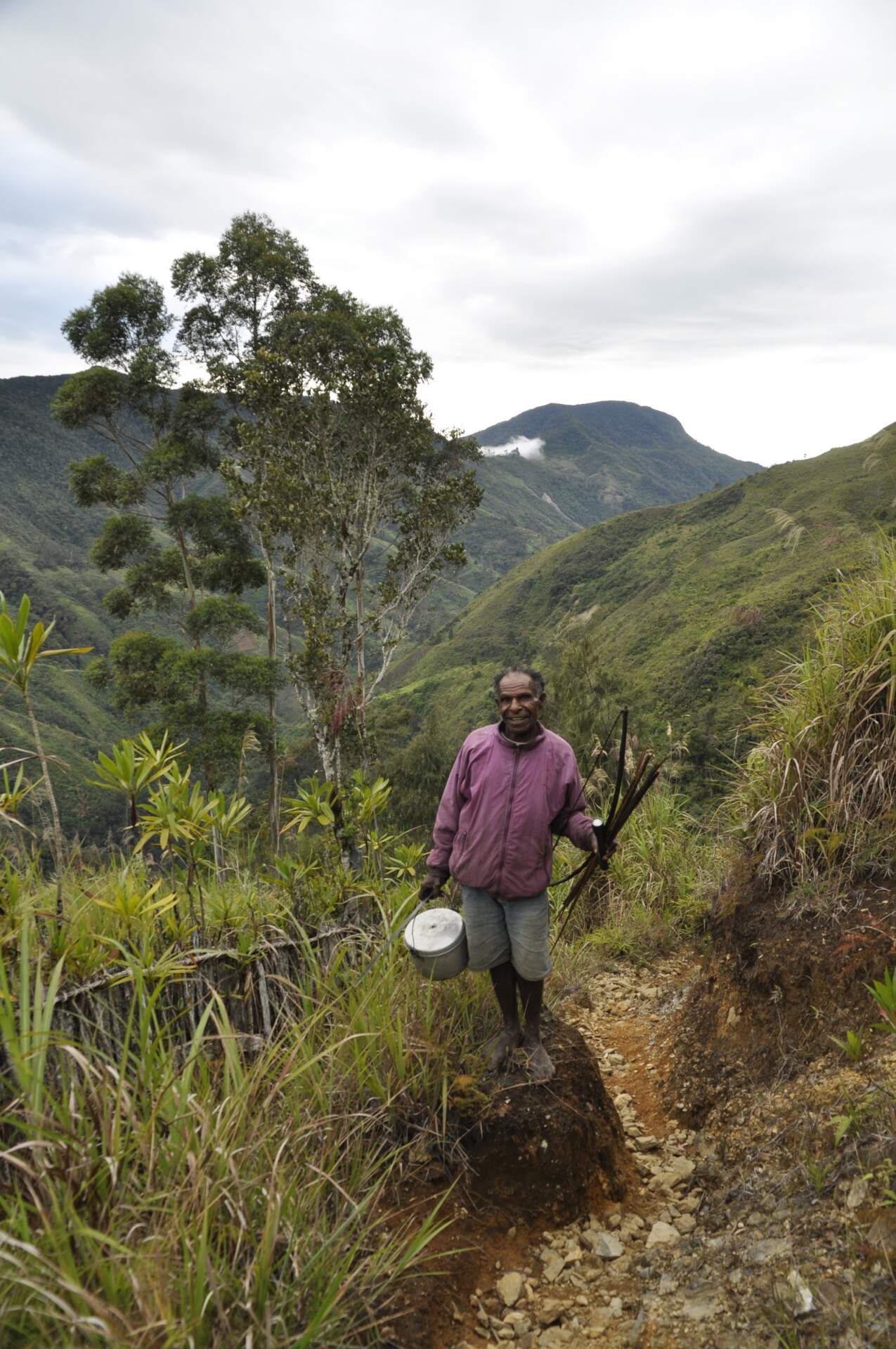
In the end we set off into the mountains only after dark. Mike told me in the afternoon that it would be good to go right away, so I agreed and made sure everyone had warm clothes and food. Joe, Neo’s friend who had already been on Digne, joined us, and so did Timothy: “Even when I was young I wanted tourists to come here.”
The road for cars ends exactly in our community and from there a trail climbs to the locals’ gardens. For two hours we walked under a full moon, turning right twice, even though the second time the trail going left was steeper. At the garden hut the lads lit a fire and cooked sweet potatoes, caucau. I pitched my tent in front of the hut.
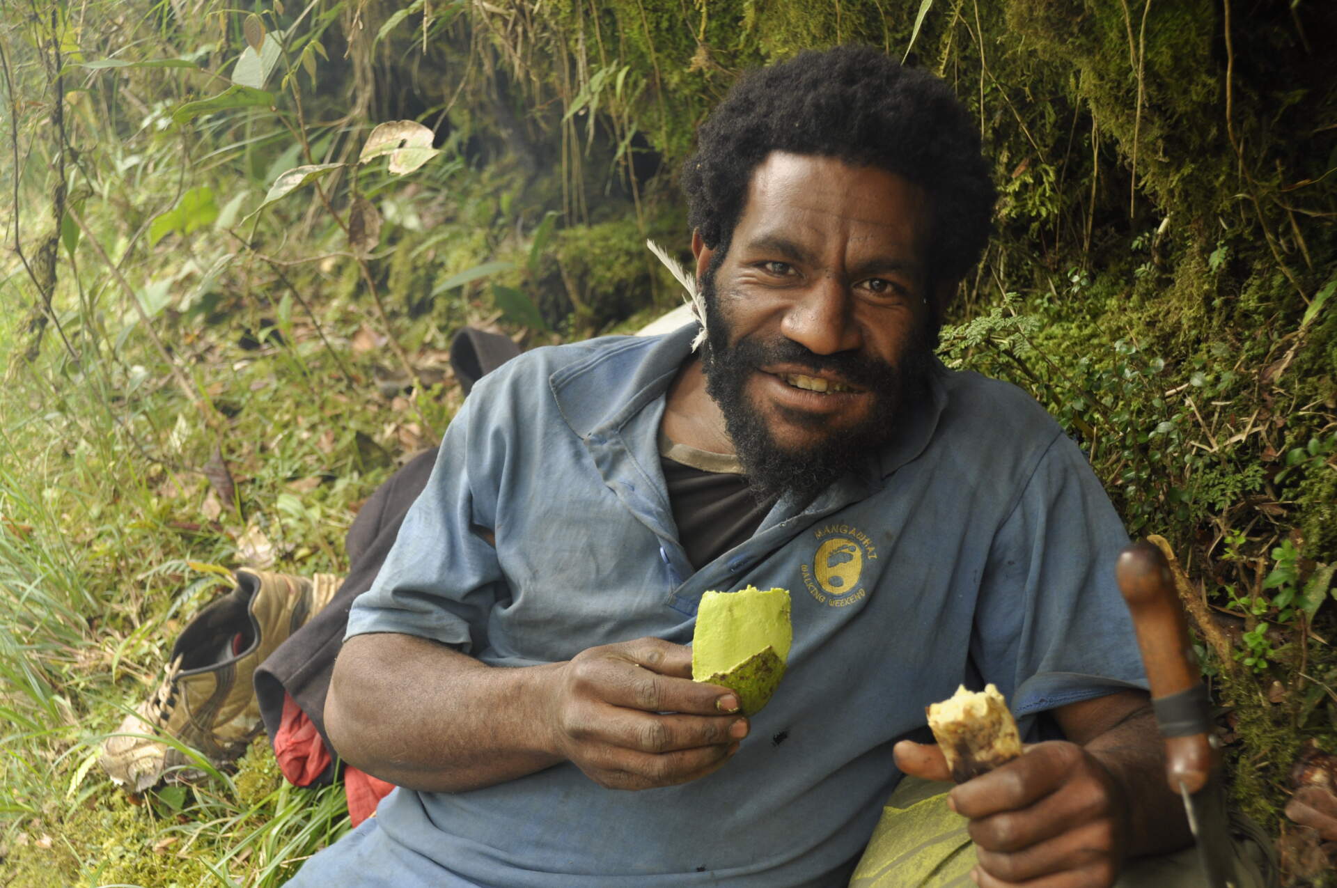
Caucau with green vegetables is the everyday food here, and most of the lads eat one a day. They eat meat only occasionally, especially at engagements and weddings. In the evening Timothy gave a speech. He wanted a promise that I would not forget them, that we would text each other even from home, and that at home I would talk about their village and the hike so that people would come to them.
The Kulsumao ridge and steep jungle without a trail
around 7:00fog and rainbivouac around 3,500 m
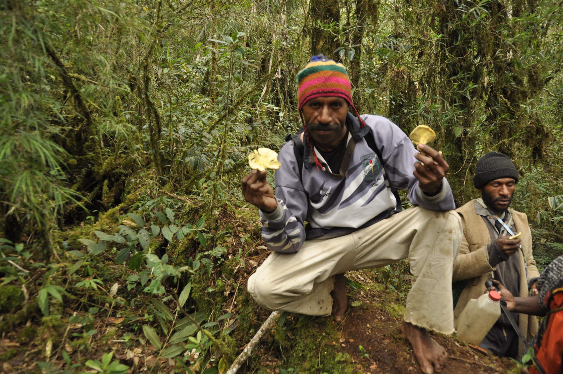
In the morning we set off around seven, now with Jack and Neo too. For two hours we climbed to the ridge through rainforest on a narrow trail where my poles sank twenty centimetres into moss and leaves. The lads showed me red orchids and a traditional hide made of leaves of high-mountain palms, from which their ancestors hunted birds of paradise. Joe made me a bow and arrow on the spot and showed me how it worked. On the way we also picked mushrooms growing on stumps. Mike did not feel well and went home.
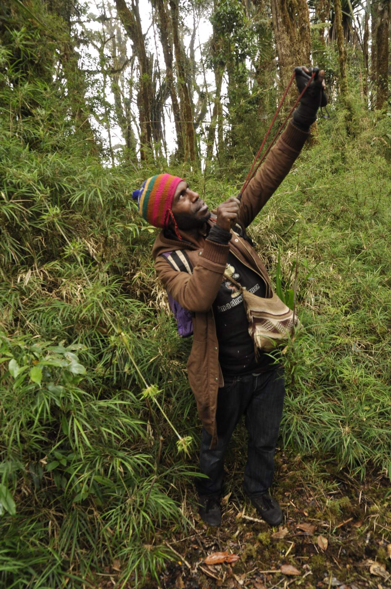
On the ridge we passed through the territory of two sacred lakes that have disappeared and are underground. According to the locals, after seeing them a person had to apologise to nature at home and kill a pig, otherwise he would die. For two hours we walked along the ridge in fog, then half an hour to an hour down to the Marel River. I crossed it barefoot, the lads on the bank roasted caucau and I had roasted caucau with avocado.
After the river, at a collapsed shelter, we chose the left trail, and from there we went through places where nobody had been for years. Four hours of steep marching through the jungle, the last two with machetes. We were completely wet from the drizzle. On top of a small hill the clouds parted and Digne 2 was above us; in the west the sun coloured the mountains with Mt. Wilhelm and then the moon rose. Timothy apologised that we had taken the wrong trail. I said it did not matter.
I pitched my tent by a high-mountain palm, six lads made a fire and wanted to sleep next to it. It surprised me that we were at around 3,500 metres, above the tree line, exposed on a ridge. Timothy told me that we would not go to Digne, because the lads did not have enough food. I answered that we would go wherever they said.
Digne 2 and a descent through jungle where nobody had been for years
summit after 1.5 hdestroyed station4–5 h of machete work
In the morning we went down a little into the forest between our hill and the Digne 2 station. A ten-metre section just below the summit is almost climbing. After an hour and a half we were at the top. A destroyed transmitter station stands there, built around 1990 with the help of helicopters. The government paid one tribe for the land that two other tribes also claimed. They destroyed the station with its solar panels and stole what they could.
The view to the north is not that good, but you can see the ridge stretching south-west to the main summit of Digne. For the first time in my life I had somebody carry part of my things: Samson carried a small rucksack with food and water, Neo the tent and Timothy the sleeping bag.
After two hours of unsuccessful searching for a shortcut, three of the lads told me they had no food left. “Do not worry about us. We worry about you,” said Peter, Mike’s younger brother. I would rather have gone back the known way, but after a while the lads “found” a trail that led along the ridge to the village of Yuri, four to five hours. It was twelve o’clock. I told them we would not find the village in daylight and that we should prepare for another night in the forest.
Four of them took turns in 4–5 hours of machete work through jungle where nobody had been for years. Then we came down into a wide river bed and, in the dry season, for twenty minutes we just jumped over stones. On the compass I said south-east and Timothy answered that it was good. On the right side we found a trail, after dark we crossed a stream by the light of headlamps and at the first flat place with a fireplace we set up camp.
Back to Kamtai (Moromambuno)
about 7 hoursMarel RiverWauro Pass
In the morning I saw a new face. Kobi (John) from the village of Gormaia had brought us a pot of caucau in the night and caught a cuscus, which the lads ate. For about an hour we descended steeply to the main Marel River, and at the bridge a few lads had a swim. Then each of us at the limit of our strength, at a snail’s pace, we climbed to the ridge for two to three hours and crossed the Wauro Pass. After more than two further hours of descent we came through the little village of Nerbarnil to Kamtai (Moromambuno).
Mama welcomed me with tears. Hunched over, she hugged me and touched my knees and dirty trainers with her hands. Mike called me inside and offered me a bowl of fruit: pineapple, strawberries, bananas. Behind the house we took a family photo and Mama put a bilum made of cuscus skin over my head. Two girls gave me small woven bags with money. I refused, but they said: “This is your family.”
After a rest day I packed at five in the morning and said goodbye. Grandma hugged me and cried for several minutes. A PMV driver took me for free to the town of Kundiawa and with that this hike ended.
My route on the map
The line joins six approximate points from Outdooractive, not an actual recording. The error can be up to 20 km. Switch the base map at the top right or enlarge the map to full screen.
Elevation profile
I redrew the profile from the graph on Outdooractive; the elevations are approximate (±30 m). Highest point 3,437 m, ascent 2,150 m.
Best season and conditions
My experience
The rivers were low because it was the dry season. Even so it drizzled almost the whole time, and when it did not, we drew moisture in through the moss trees and vegetation. The ridge was in fog and clouds. In the evening it cleared up, once a rainbow shone, and at full moon the moon shone.
Which month is best
I do not know the exact window. You can find it out more precisely from the people of the village, who go there all year round.
Transport, guides and safety
Transport
The road for cars ends in the village of Kamtai (Moromambuno). From the town of Kundiawa I went back by a local PMV minibus; the driver took me for free.
Guides and navigation
Almost nothing is known about the Kubor Range. On maps there is only the name and only part of the range is drawn. Trails disappear in places, and the guides choose the way by experience and clear it with machetes. Take them with you; alone you would not find the way. The compass came in handy for us in the river bed.
Food and cooperation with the community
Locals eat little during the day, if they can manage, and normally only in the evening, mostly sweet potatoes, caucau. My portion did not fill me and for so many people I did not have more, so plan supplies for the guides in advance. There are land disputes here between tribes and the station on Digne 2 was destroyed because of that, so agree on the route with the community beforehand.
My gear on the hike
Part of my gear, with weights 8,492 g
| Backpack | Bergans Trollhetta 75 l | 2,600 g |
|---|---|---|
| Tent | MSR Hubba Hubba 2 NX (with spare parts) | 1,750 g |
| Sleeping bag | small down bag from Nepal | 974 g |
| Sleeping mat | self-inflating Trimm | 940 g |
| Trainers | Salomon Lighttrek | 724 g |
| Camera | Nikon D90 + 2 lenses (50 mm and 17–70 mm) | 1,387 g |
| Headlamp | Petzl Tikka | 83 g |
| Compass | — | 34 g |