Denali
Five days in a national park with not a single marked trail. Waist-high bushes, icy river fords, grizzlies on blueberries and Denali, which hid in the clouds the whole time.

Go if you
- want a few days of pure wilderness without a single marked trail
- do not mind fords of icy rivers and waist-high bushes
- can work with a map and navigation on your phone
Skip it if you
- want marked trails and huts
- mind waiting for a bus and arranging a permit in advance
- are afraid of meeting a grizzly bear
The hardest parts
- pushing through waist-high bushes that soak you in minutes
- fords of icy streams every day
- navigating without trails and in low clouds
How I hiked it
Denali is divided into numbered areas, which in English are called Units (for example Unit 13). For simplicity I use the English word Unit throughout the page and do not translate the numbers.
By bus into the wilderness
departure 14:00bus 4 hUnit 13
In my pack I have food for a week and a permit to camp in Units 13, 18, 10 and 6. There is no room on the eleven o’clock bus, so I wait until two in the afternoon.
During the four-hour ride we stop at a few viewpoints. I see my first caribou and three grizzlies in the distance. I get off in the middle of nowhere, where I start the hike. A light rain starts and within minutes I am soaked, mostly from the bushes that reach up to my waist.

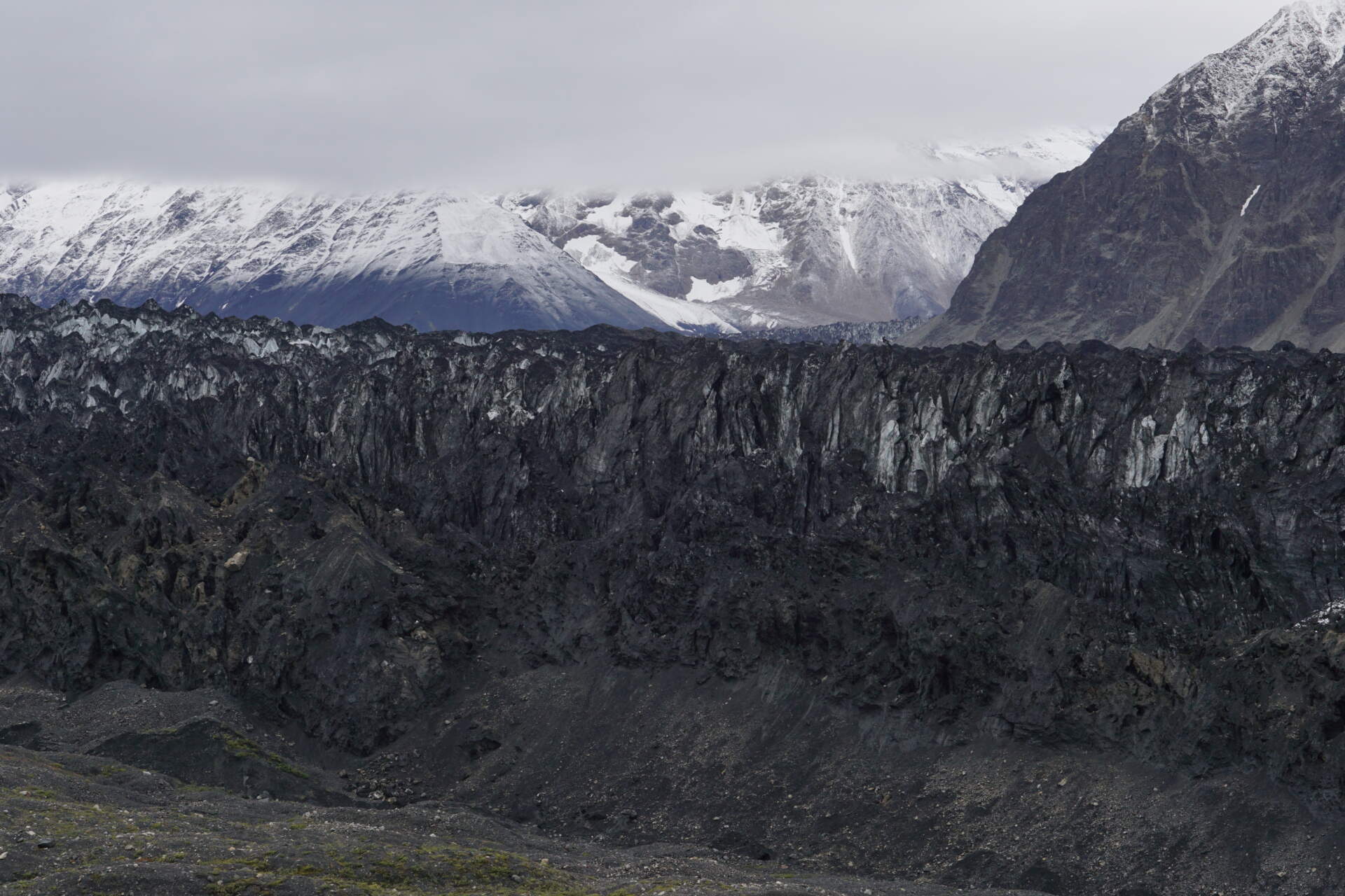
I cross a river and for the next kilometres walk up the valley above the tree line, beside a huge glacier tongue. About two hundred metres from me two grizzlies are grazing on blueberries. One catches my scent, stands on its hind legs and watches me for a while. I prefer to keep going.
On a big flat stony area stand two tents. Two older gentlemen tell me I can camp near them, but my tent should go in the next triangle. It is recommended to keep a hundred metres between where you cook, where you sleep and where you store food. So that is what I do.
To Anderson Pass
Unit 18pass 1,650 m13 h in the tent
On the second day it rains lightly. I go to the end of the valley. On the right a glacier stretches for tens of kilometres up to the summit of Denali, which is 6,190 m and the highest mountain in North America. But the clouds are at around 2,000 to 2,500 m, so I can only dream of a view of the summit.
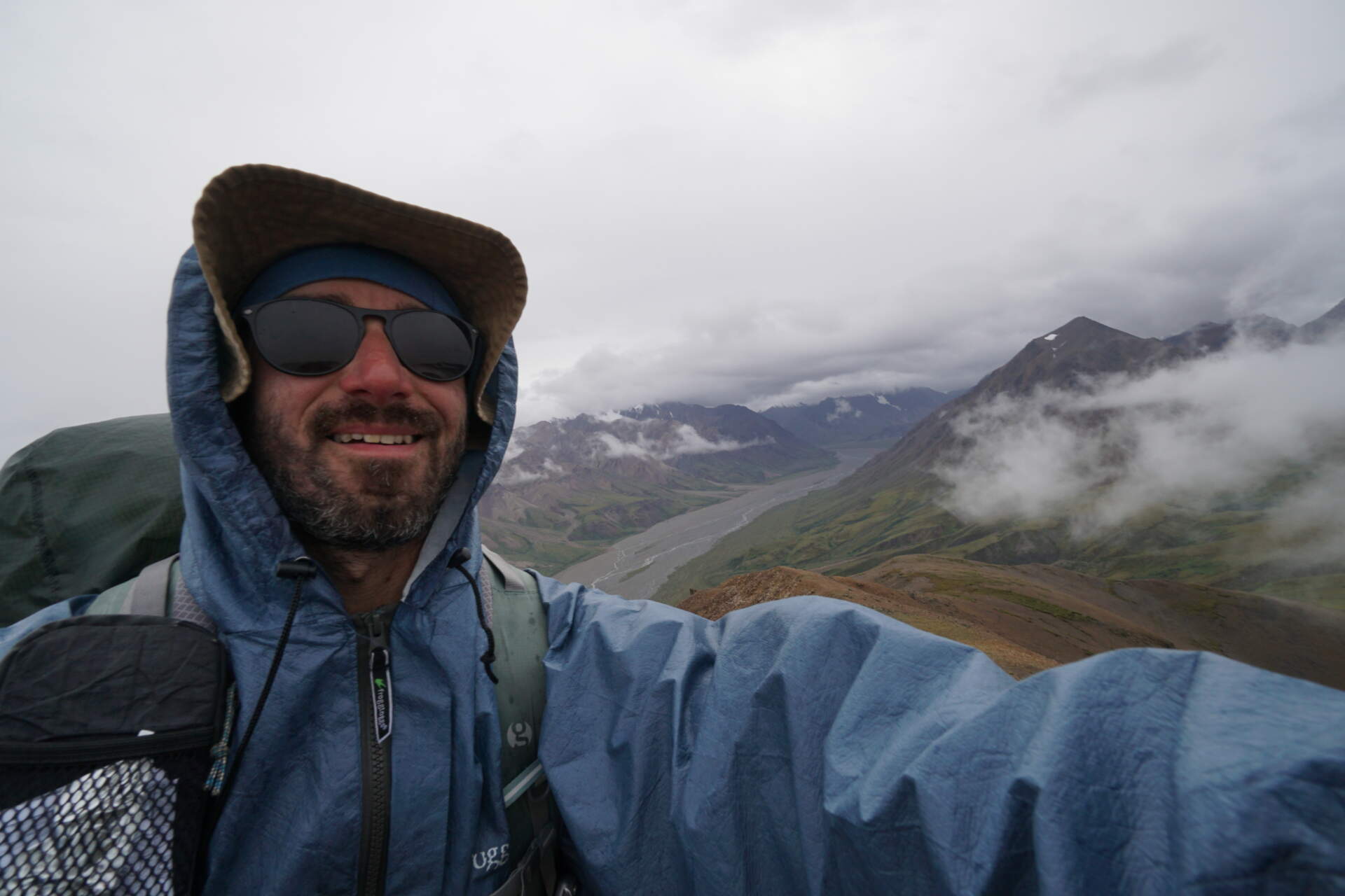
I turn left towards a smaller glacier and climb a stony moraine to Anderson Pass (1,650 m). I go slowly and only halfway. At the pass it would rain even more and I would not see anything anyway. I pitch my tent at half past five and a few minutes later the rain arrives.
I spend more than thirteen hours in the tent. By nine I already feel like going somewhere, but I know it is best to wait. After the storm the tops of the surrounding mountains uncover a little.
Red Mountain, John and Mount Eielson
Unit 18 and 12Red Mountain 1,720 mMount Eielson 1,768 m
Right after a small shower I pack up. I have little water and Anderson Pass is in the clouds, with a strong cold wind blowing from it. So I go down. On the way I pick up the food I had stored at least 50 metres from the tent and have breakfast straight away. The way of eating is the biggest change for me. Outside Alaska I ate breakfast and dinner in the warmth of my sleeping bag; here I do not want to attract the bears’ attention.
Every day I ford several icy streams. On the way I see the guys I camped near the night before climbing a steep slope. According to the map they are probably going up Red Mountain. I take the Ursack out of my pack, put it with their food canisters and, lightened, follow them, saying I will only run up the first little hill to take a few photos of the glacier. After a while I catch up with them.

Gradually I learn John’s story. His brother went on a day hike up Red Mountain (2,019 m) 48 years ago and never returned. Behind the summit there is a chasm and John assumes he fell into it. The body was not found. John came back in August, when the snow is most melted, to look with binoculars in case he found something.
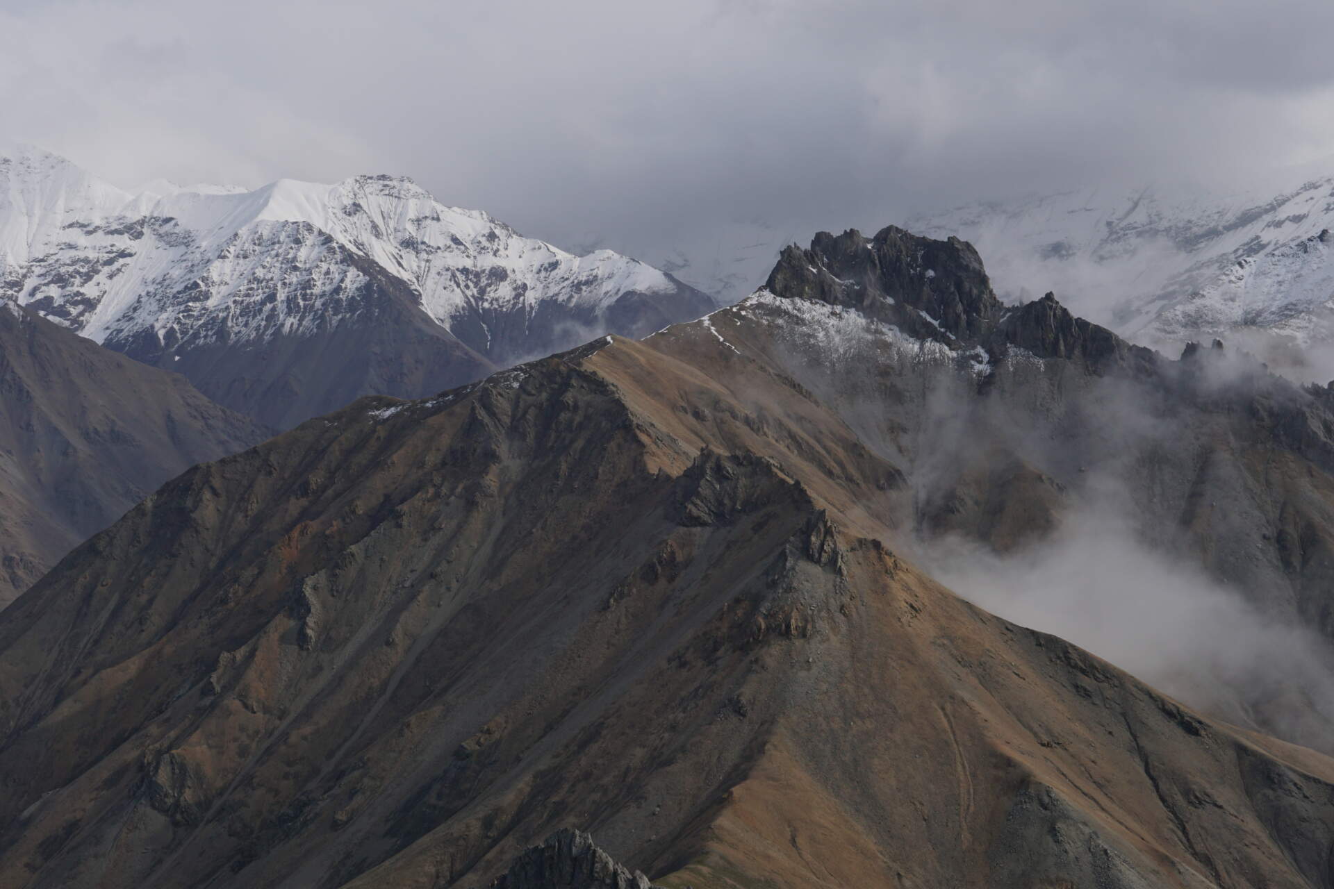
I climb to a height of about 1,720 m. The view of the glacier and the flowing clouds is the most beautiful I could have wished for. There is a little snow on the ridge and unlike the guys I have no crampons. It could be done without them, but in the cold wind my toes almost freeze off in wet trainers. I turn back.
Below I pour water over pasta and half an hour later eat it with tuna. Then I turn into the valley by which you can bypass Mount Eielson. On my phone I follow a track that someone walked in the past, so I do not take the shortest way but a scenic one. Just before the pass I again leave the Ursack by a rock and climb Mount Eielson (1,768 m) over big rocks and scree. Three hundred metres of elevation take me longer than expected. From the summit I see only the valley I came from. On the other side it is pure fog.
I descend over scree with small stones into a valley in Unit 12, at the end of which is the Sunset Glacier. In theory I could still catch the last bus, but the broken terrain and the strong river current in the evening stop me. I do not even make it to the Eielson visitor centre. After scouting I return to a place with clean water and pitch my tent.
Eielson and the move to Unit 10
9:00 at the centrebus at 11:00Unit 10
The next day I ford the river and before nine I am at the Eielson visitor centre. There is a normal toilet, sinks and water. I charge my batteries and throw away my rubbish. The rangers arrive at half past nine, the first bus back leaves an hour later. I take the next one, at eleven.
On the noticeboard there is a weather forecast and the information that most visitors to the centre did not see the summit of Denali. The painted calendar is nice too. In it the rangers record visibility every morning at 9:30 and in the afternoon at 5:00. In the first four days of August people were lucky, but in the last thirteen days Denali showed itself in the morning only once.
Then I take the bus to Unit 10.
Divide Mountain and leaving the park
start before 10:00Divide Mountain 1,583 m14:15 on the road
In the morning it is drizzling again. I start before ten and the clouds are even lower than the evening before. The summit of Divide Mountain (1,583 m) is in the clouds. I go straight to the pass, first through low bushes, then through young forest with trees a few metres tall. I literally walk at a snail’s pace and keep talking out loud so as not to surprise a grizzly in the thicket.
A little stream is the saviour. For a while I walk right in its bed, which is the easiest way. By a rock on my right, beside which there is steep scree, I climb higher using my hands and branches. For a few more minutes I push through wilderness until I get onto soft alpine vegetation and up it to the top of a small hill a few metres south-east of the pass.
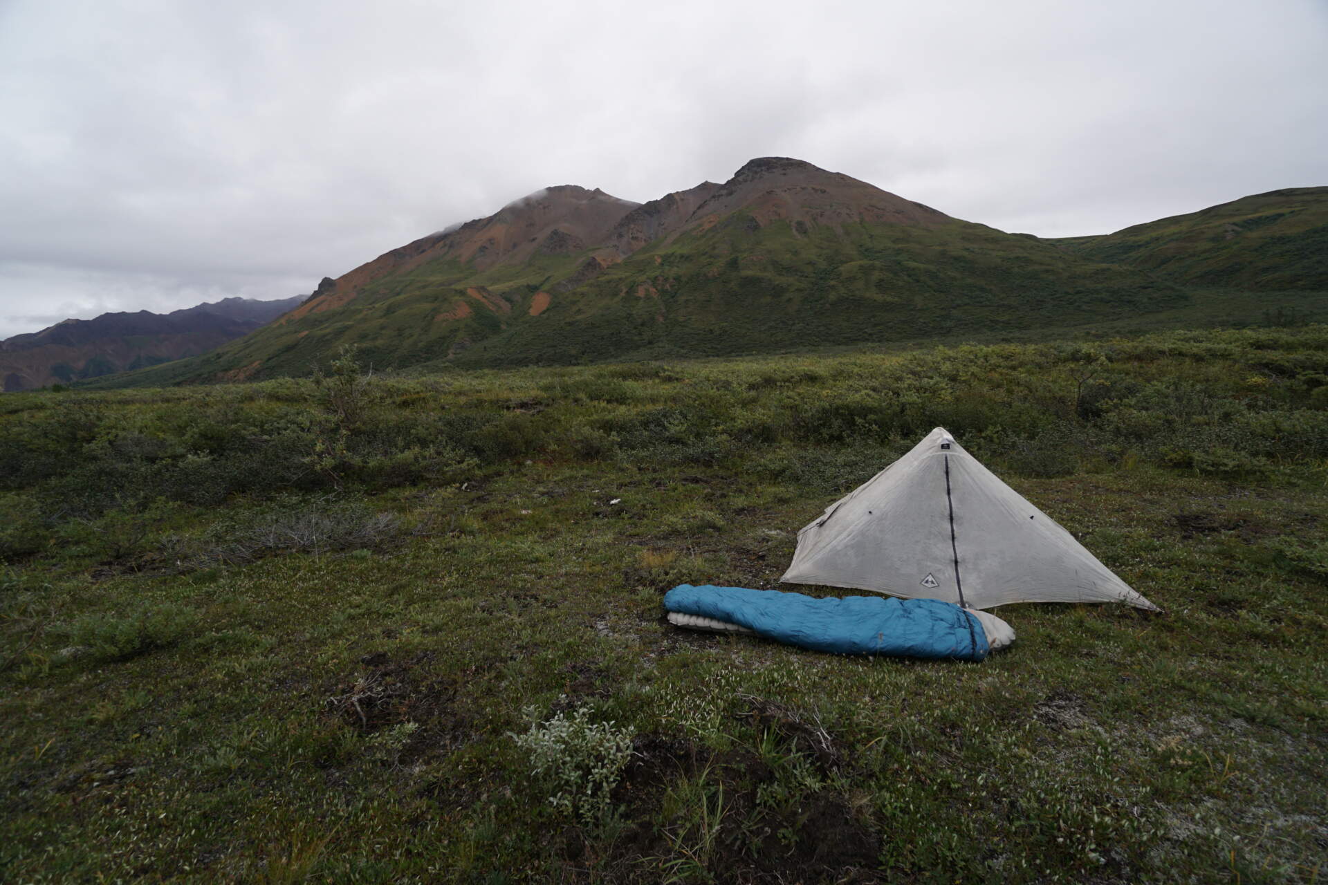
The valley to the east is a complete contrast to the western one I came from. The western one is all hidden in low cloud, while above the eastern one the clouds are high. I climb a little further to the sub-summit of the sub-summit. Everything higher is only in the clouds. Clouds constantly roll over the top and create a magical atmosphere. The descent into the valley is much easier, only the river bed is completely different from the map, so I ford it not once but three times.
At a quarter to three I am on the main road and half an hour later I am sitting on the bus out of the park. I still have food for one day and a permit for two more nights, but the next day it is supposed to get colder and rain all day. On top of that I start to feel pain in my left ankle. Leaving is hard. I believe I will come back, better prepared, with a plan for a long traverse or a huge loop and with better weather.
My route on the map
Three Outdooractive recordings (Unit 13 and 18, Unit 10 and Unit 6). Between them I travelled by bus, so the line is not continuous. Switch the base map at the top right or enlarge the map to full screen.
Elevation profile
I redrew the profile from three graphs on Outdooractive and joined them one after another; the bus transfer is not in it. Elevations are approximate (±30 m). Highest point 1,674 m, lowest 872 m.
Best season and conditions
My experience
I was there in August 2021. Most of the time it drizzled or rained, low clouds covered the tops and I did not see Denali. There was a little snow on the ridge and the wind was cold. According to the rangers’ calendar at the Eielson centre, Denali showed itself in the morning only once in the previous thirteen days.
Which month is best
John returned to the place where his brother disappeared in August, because that is when the snow is most melted. I experienced the park only in August. Check the exact window and current conditions with the national park rangers.
Permits, transport and safety
Permits
The park is divided into 87 units and in each only 4 or 8 people can sleep per night. You need to decide where you want to sleep and send a backcountry permit request. It is free and you can apply at most 14 days before arrival. I read a recommendation to write that your trip is flexible and the order of nights may be different, so I wrote that too. I filled in the request and saved it in Denver and sent it two weeks before arrival. They shuffled my plan a bit, but I had a permit to sleep everywhere I wanted.
Transport
There is only one road through the park. Private cars can only go the first 15 miles, beyond that only national park buses run. The ticket cost 60 dollars (2021) and applies equally to a day trip and to those who camp for several days. The price includes transport between areas and you pay once. Tickets are sold by phone after entering your card details; I relied on a few places that have walk-in. I did not fit on the eleven o’clock bus and waited until two.
Accommodation and food
Along the road there are several campgrounds with limited capacity; they must be booked and paid for in advance. In the wilderness you can sleep anywhere, but at least two kilometres from the road, so that every visitor has an authentic experience of wilderness. There is no shop in the park, so you have to take everything with you.
Safety
On arrival I took a mandatory half-hour briefing on behaviour around bears and they checked my food canister. A Kevlar Ursack, which weighs half as much as a canister, is also allowed. The rule of a hundred metres between the cooking place, the sleeping place and the stored food applies. There are no trails, so you need to know how to work with a map. I imported the unit boundaries into my app. Expect to go slower than usual. You will find the current rules on the Denali National Park website.