Pacific Crest Trail (PCT)
From the Mexican border to Canada in 2019: desert, five weeks of snowy Sierra, and after the halfway point only the most beautiful sections. I did not walk every mile and here I write why.
Go if you
- are drawn to walking together with dozens of other hikers, trail angels and towns along the trail
- have 4 to 6 months and a permit and visa arranged
- want to see desert, high mountains and volcanoes in a single hike
Skip it if you
- want a technical hike; without snow the PCT is rather a very long walk
- do not want to ford rivers and trudge through snow in the Sierra in April and May
- hate monotonous kilometres in forest
The hardest parts
- the Sierra with snow and river fords in June
- Mather Pass with an ice axe in my hand
- the head: long days alone after the Sierra
How I hiked it
Desert and mountains of the south: from Mexico to Kennedy Meadows
mile 0 – 70211. 4. – 17. 5.Mojave Desert
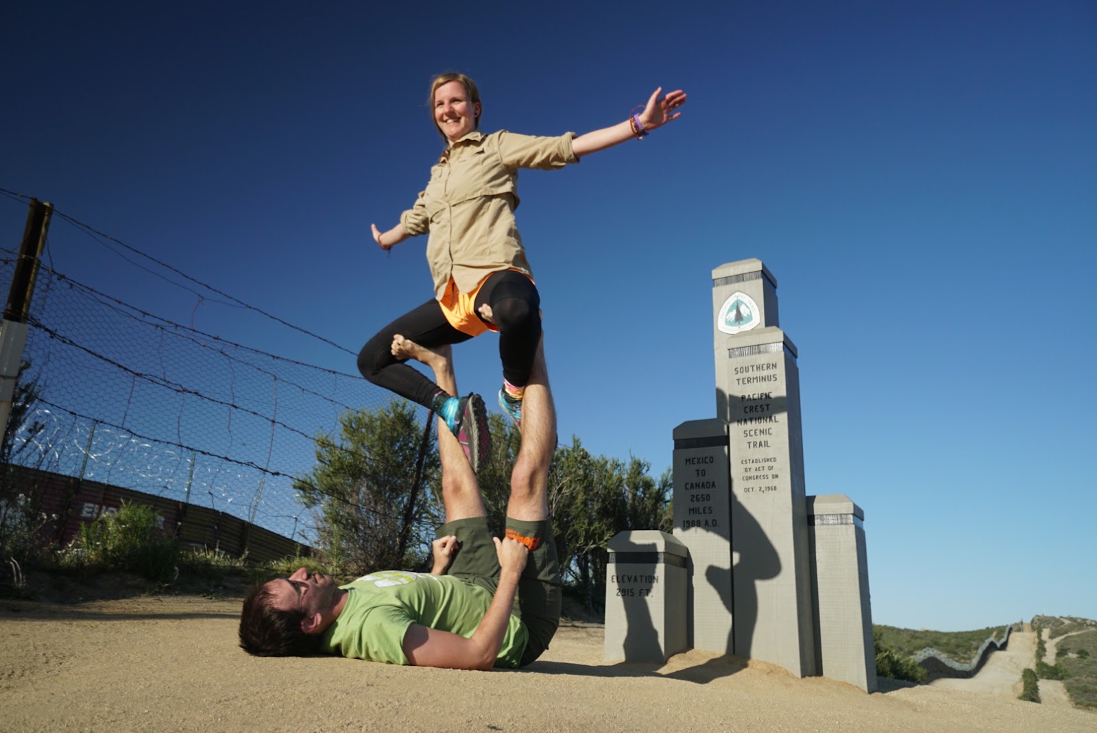
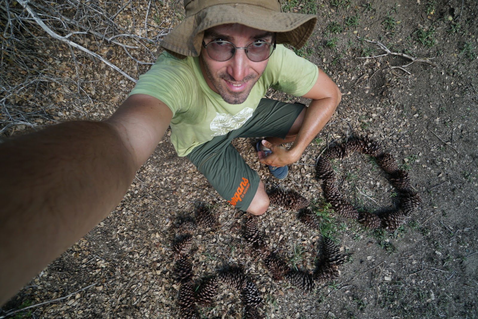
I flew into San Diego on a one-way ticket. For two nights I stayed with the trail angels Scout and Frodo, who host and feed dozens of hikers every season, and in the morning they drove us to the Mexican border. I expected flat terrain and got mountains. On the third day Olive Oil christened me “Fly”.
From the south I remember the wind and snow below Mt. San Jacinto (3,302 m), fifteen miles without water in the Mojave Desert and the trail angels in Wrightwood and at Hiker Heaven. Water was no problem: an app showed which stream has it. For five weeks I walked an average of 18 miles (29 km) a day, until my shin started to burn before Kennedy Meadows. I took almost four days off.
The Sierra with snow: the hardest five weeks
mile 702 – 1,15622. 5. – 27. 6.Forester 4,009 m
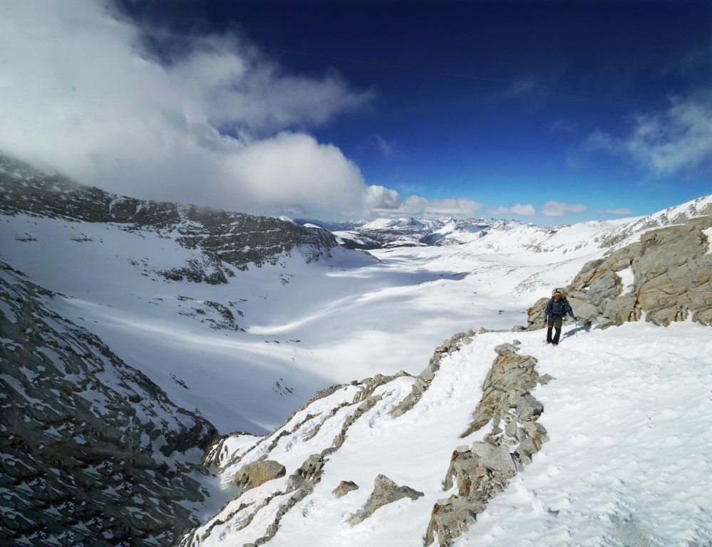
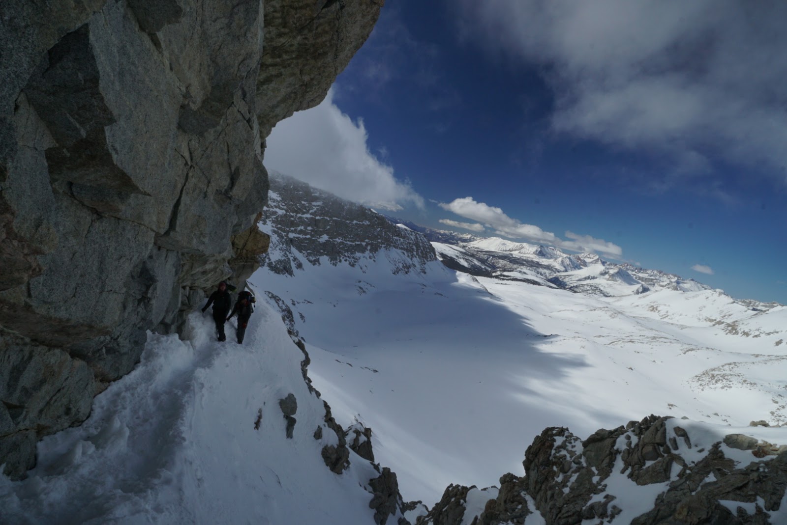
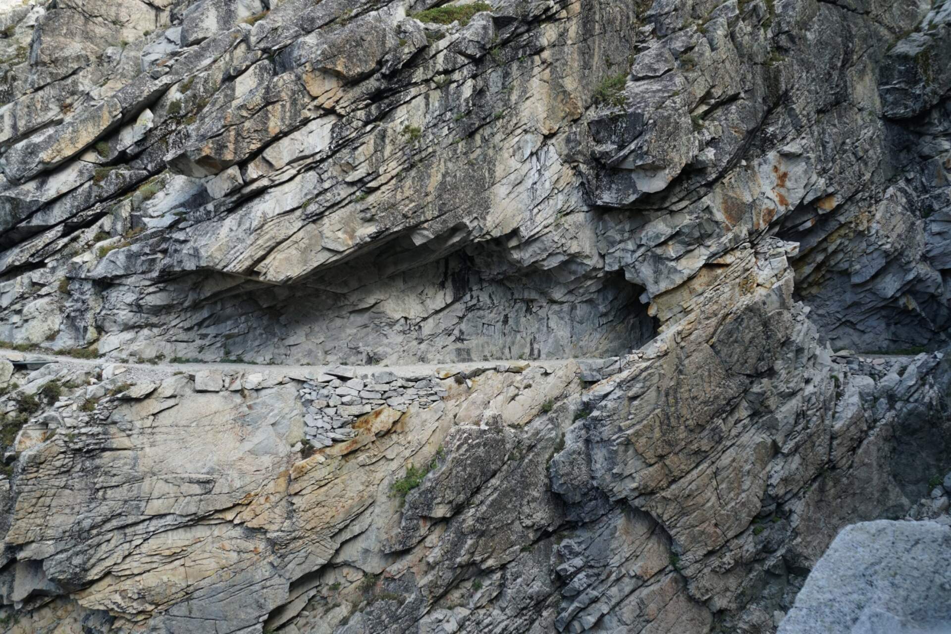
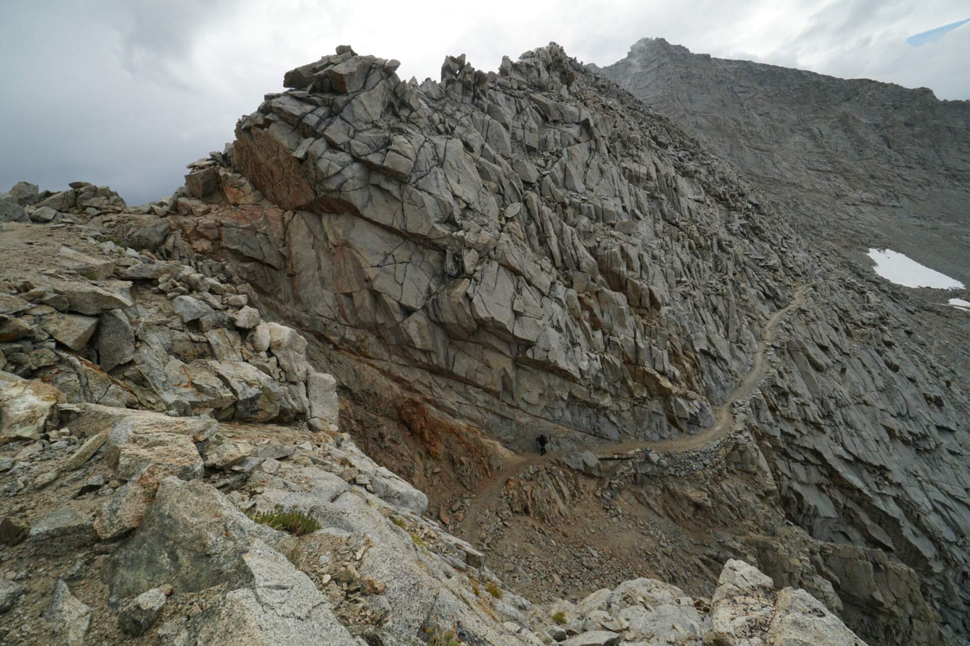
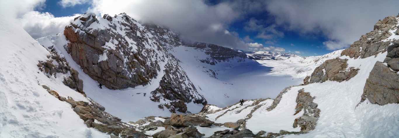
We entered the Sierra on 22 May in groups. There was in places the most snow in twenty-five years, so many hikers skipped it and came back later. We got up at four so we could cross the passes on frozen snow: Forester (4,009 m, the highest point of the PCT), Mather with an ice axe in hand and the endless climb to Muir Pass. We navigated by tracks and GPS on the phone.

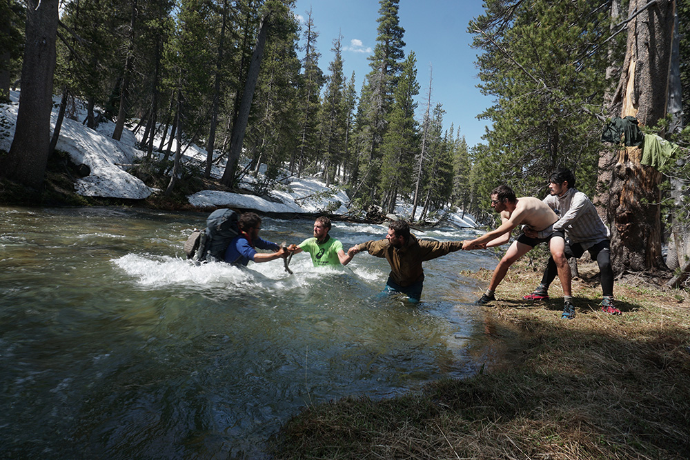
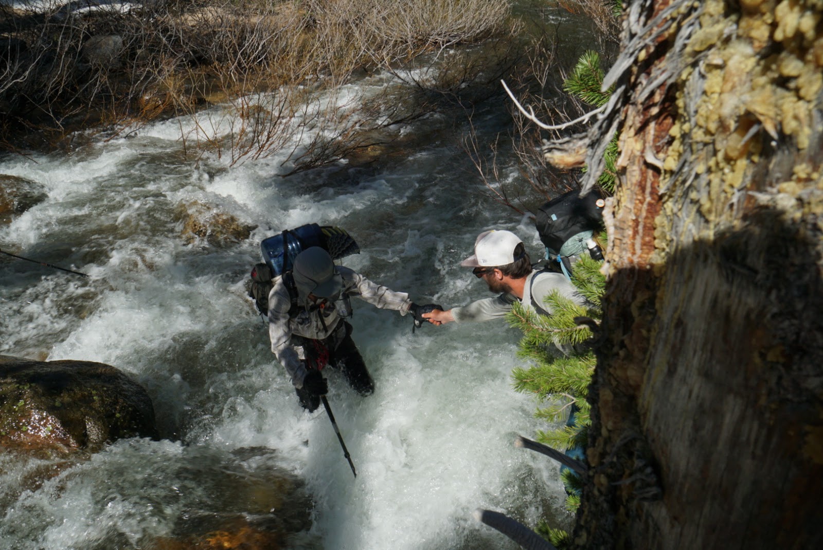
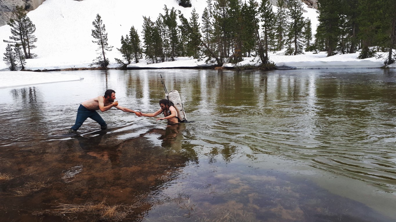
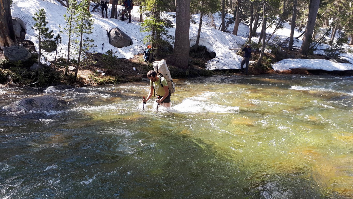
When the snow started to melt, the rivers were worse than the snow. We walked miles upstream until we found a ford, and the water reached up to our waists. At the worst ford we held each other by the forearms and crossed like a train. Once I even swam a little. In the end our group was nine people from five countries. For five weeks I walked in wet trainers and none of us got sick.

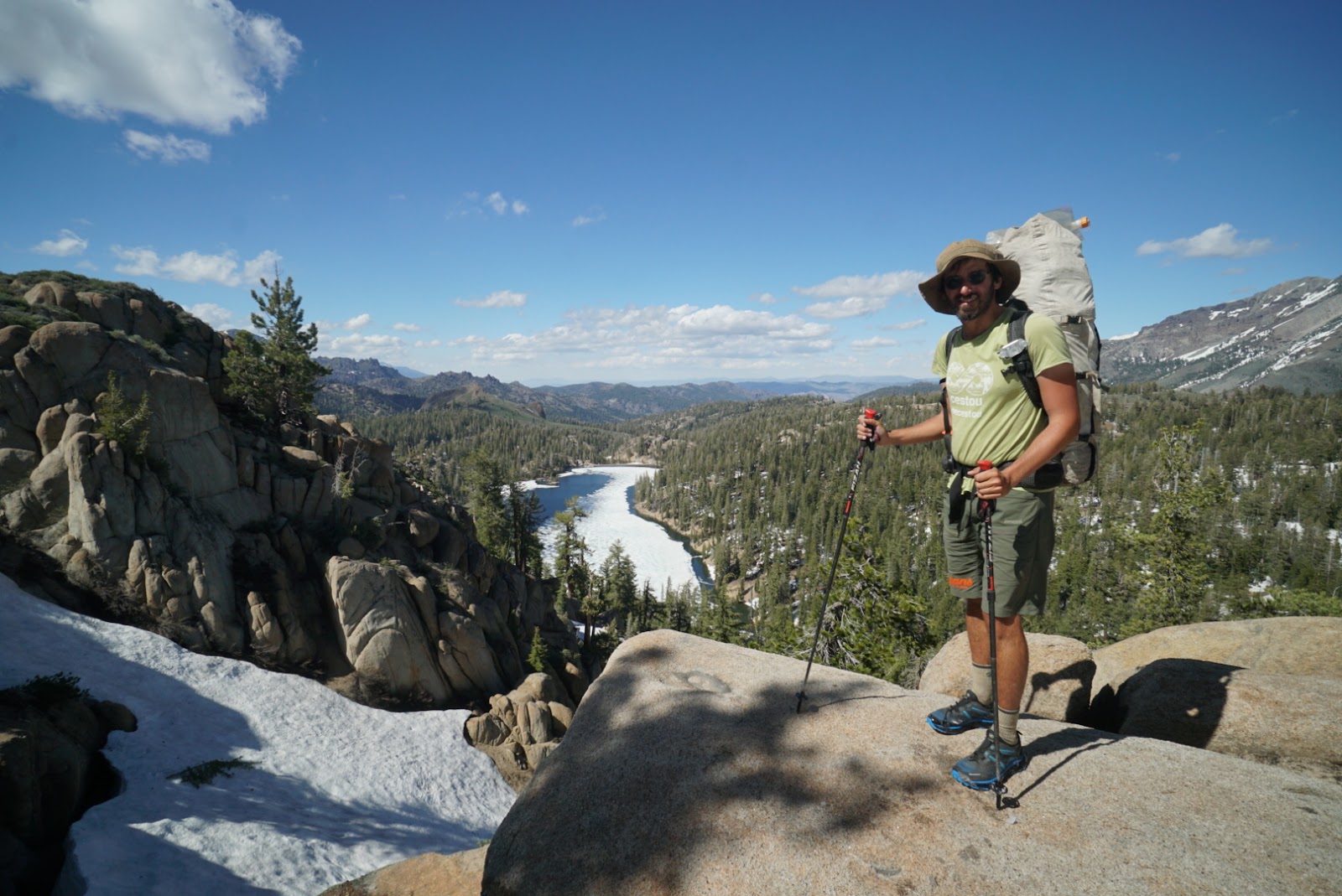
In Truckee my cousin Ondrej fed me up and I sent him three kilos of things I no longer needed: an ice axe, crampons, a bear canister and a tent. Instead of the tent I had a 300-gram tarp. How the Sierra looked with and without snow is also in a separate article.
Shasta and Crater Lake: where I stopped walking every mile
mile 1,3483. – 16. 7.Mt. Shasta 4,322 m
After the Sierra I took four days off at the High Sierra Music Festival in Quincy: sixteen hours of work in the car park earned me entry to the whole festival. Then came the second half and with it a low mood. At the halfway point (10 July) I walked mostly alone, the others around me did 30–40 miles a day and ahead of me was a month of forest. At mile 1,348 I left the PCT.
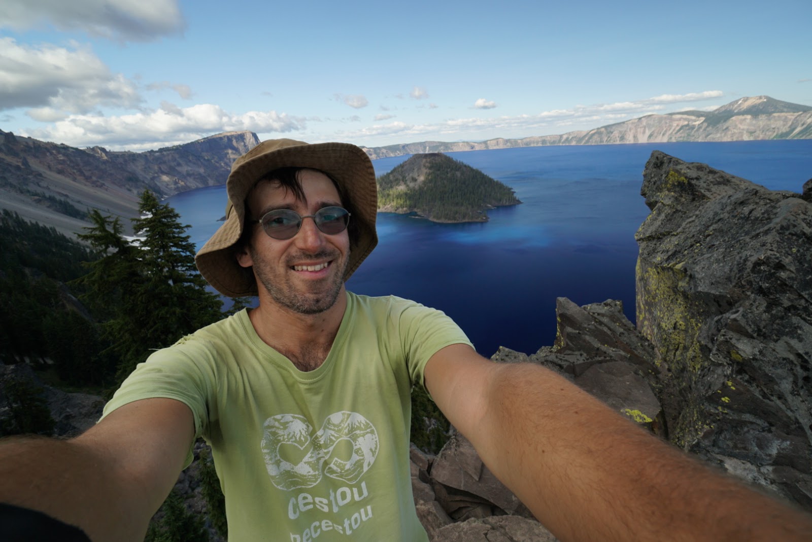
The next day I climbed from the car park below Mt. Shasta to the summit (4,322 m) in trainers with holes in them and with poles. From the top I saw ridges that the PCT passes at 2,200 metres at most. That was the turning point: I would take only the most beautiful parts of the PCT and add the mountains it bypasses. I hitchhiked via Ashland to Crater Lake, one of the most beautiful lakes I have seen.

The Sisters: volcanoes and lava fields
South SisterMt. Hood17. – 21. 7.
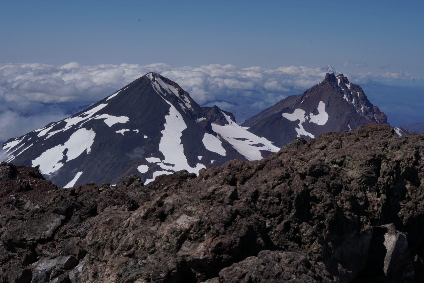
Hollianne, who was going to do geological measurements in Washington, gave me a lift to the Sisters area and drove me 115 miles to Green Lakes. I gave up Broken Top below the ridge because clouds and wind did not allow a view, and in the morning I climbed South Sister. The main PCT runs far to the west through forest, where you only look at the highest mountains.
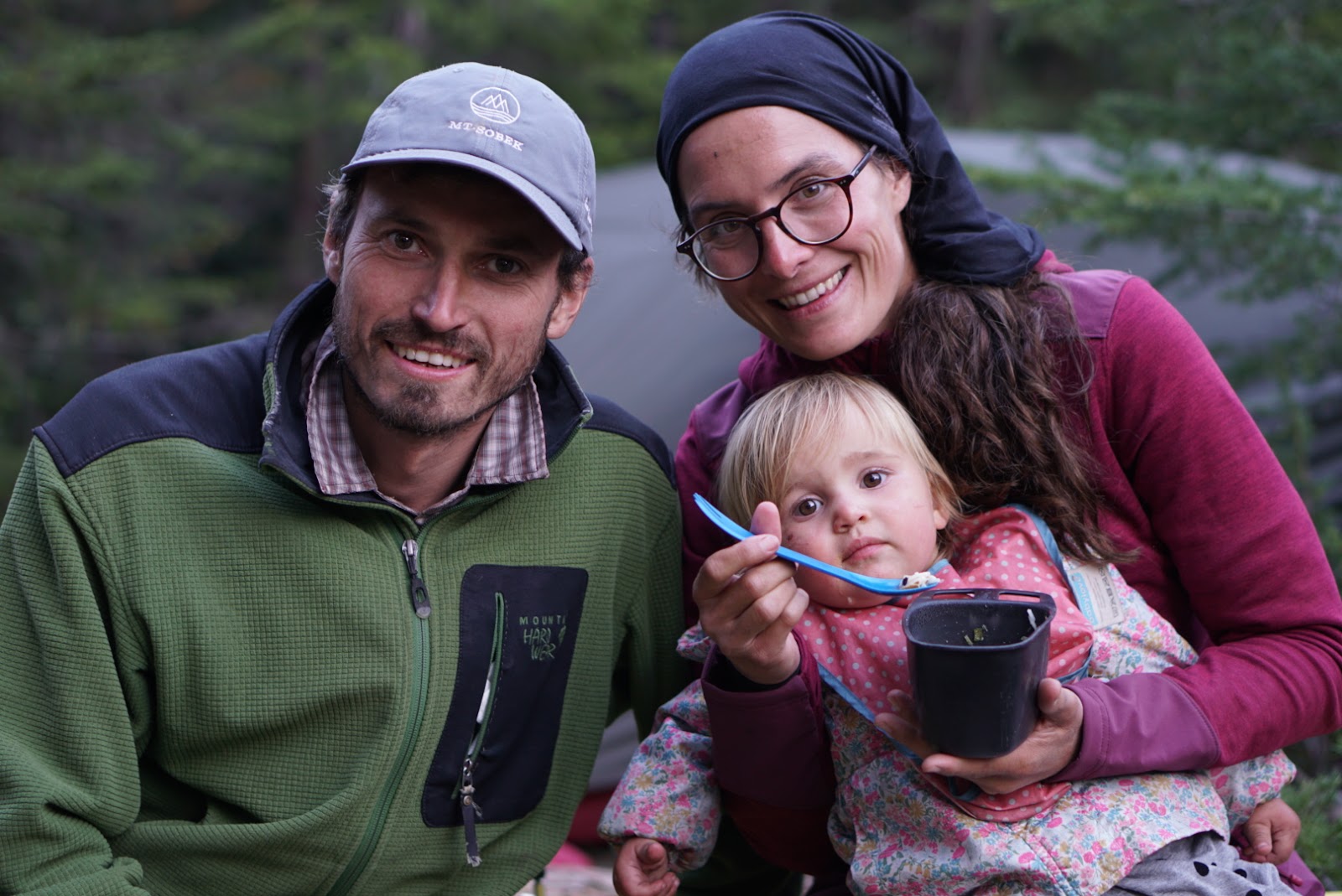
Back on the PCT I crossed lava fields and a burnt forest and met a German couple with a 15-month-old daughter on a month-long hike: she carried the daughter on her back, he carried everything else. Then I hitchhiked to Mt. Hood, where on the east side a trail leads along a glacier.
Washington: Adams, Goat Rocks and Rainier
Mt. Adams 3,745 mGoat Rocksborder 9 Aug
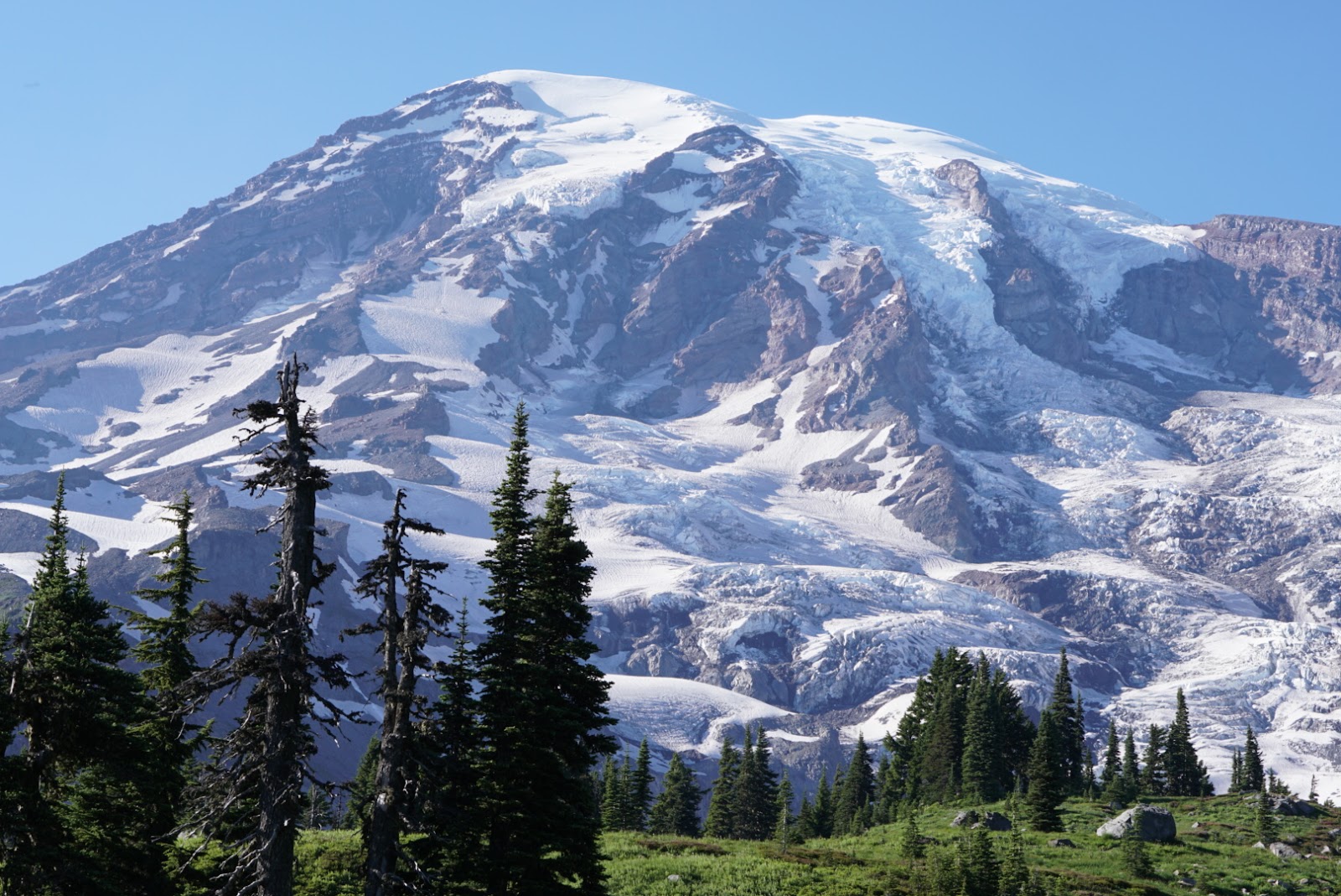
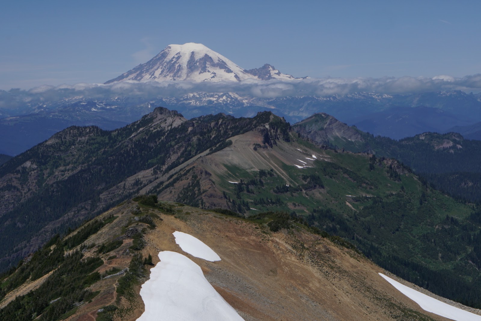
I climbed Mt. Adams from the south, on a well-trodden track in the snow; it can be done even in trainers. Goat Rocks followed, which many consider the most beautiful part of the PCT. At Mt. Rainier I turned off to Muir Camp. Higher up you are not allowed without a rope and a permit.
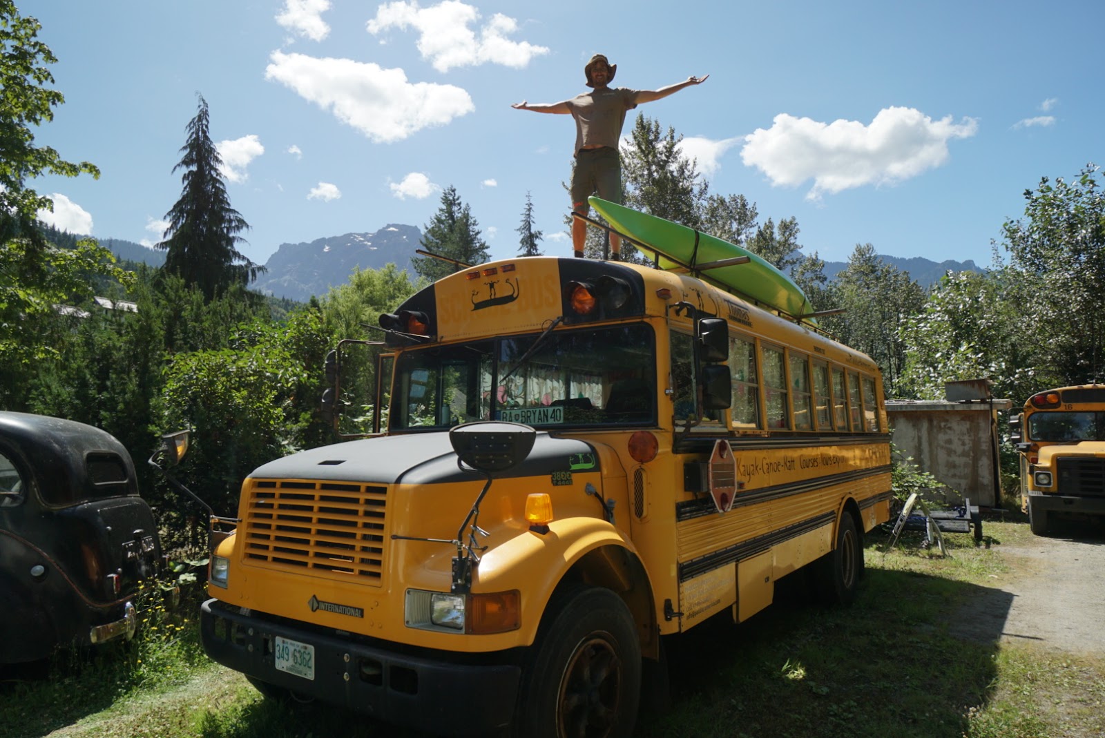
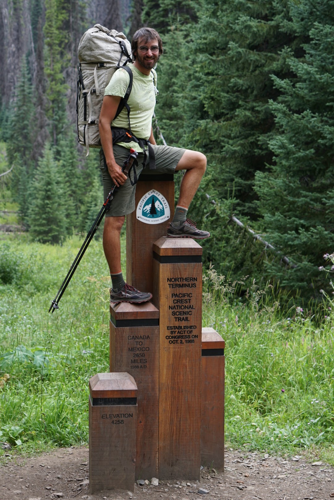
In Index I slept at Bryan’s, a Slovak who lives in a converted school bus. With Alexia from France, whom I met for the third time, I covered 32 miles (52 km) in a day. In Mazama I bought new trainers and on 9 August 2019, after 121 days, I stood at the post on the Canadian border.
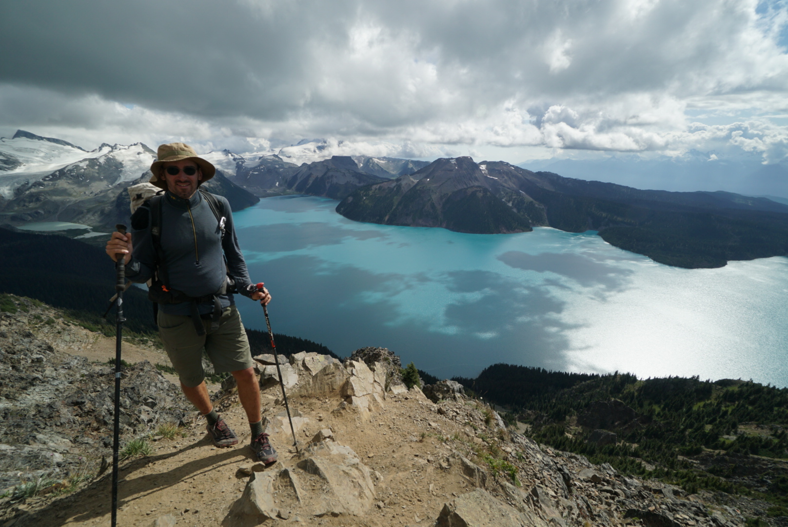
I then spent almost three weeks in Canada: I hiked section C of the Great Divide Trail (229 km, 8,600 m of ascent) and added more than 130 km of hikes in the surrounding mountains. But that is another story.
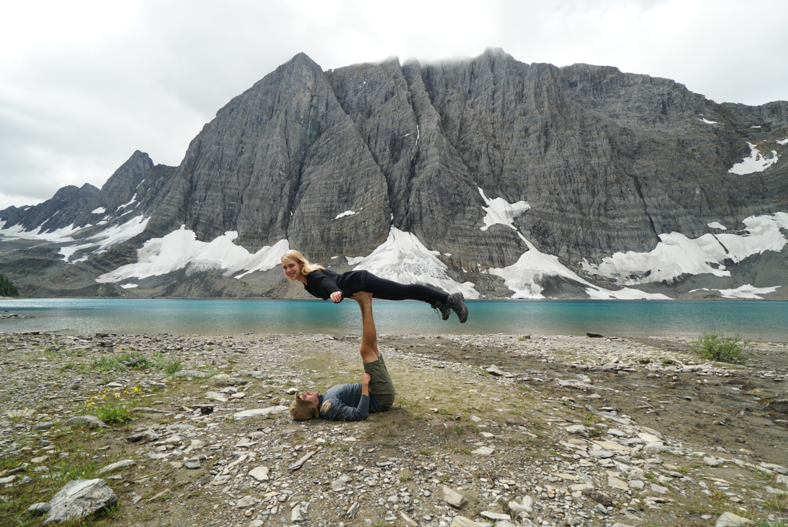
The Sierra for the second time: without snow, to Whitney and Yosemite
29. 8. – 21. 9.Mt. Whitney 4,416 mYosemite 6 days
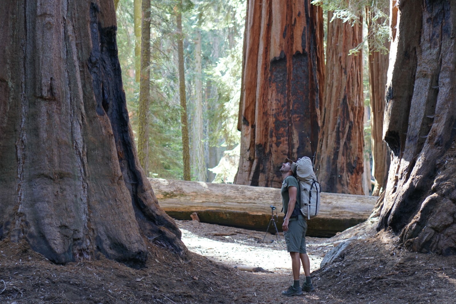
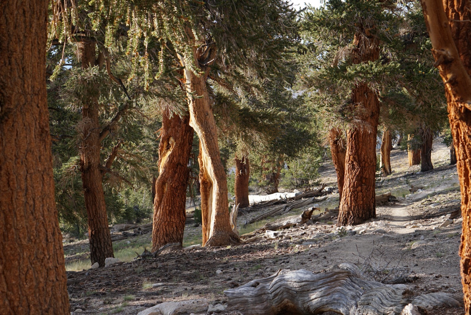
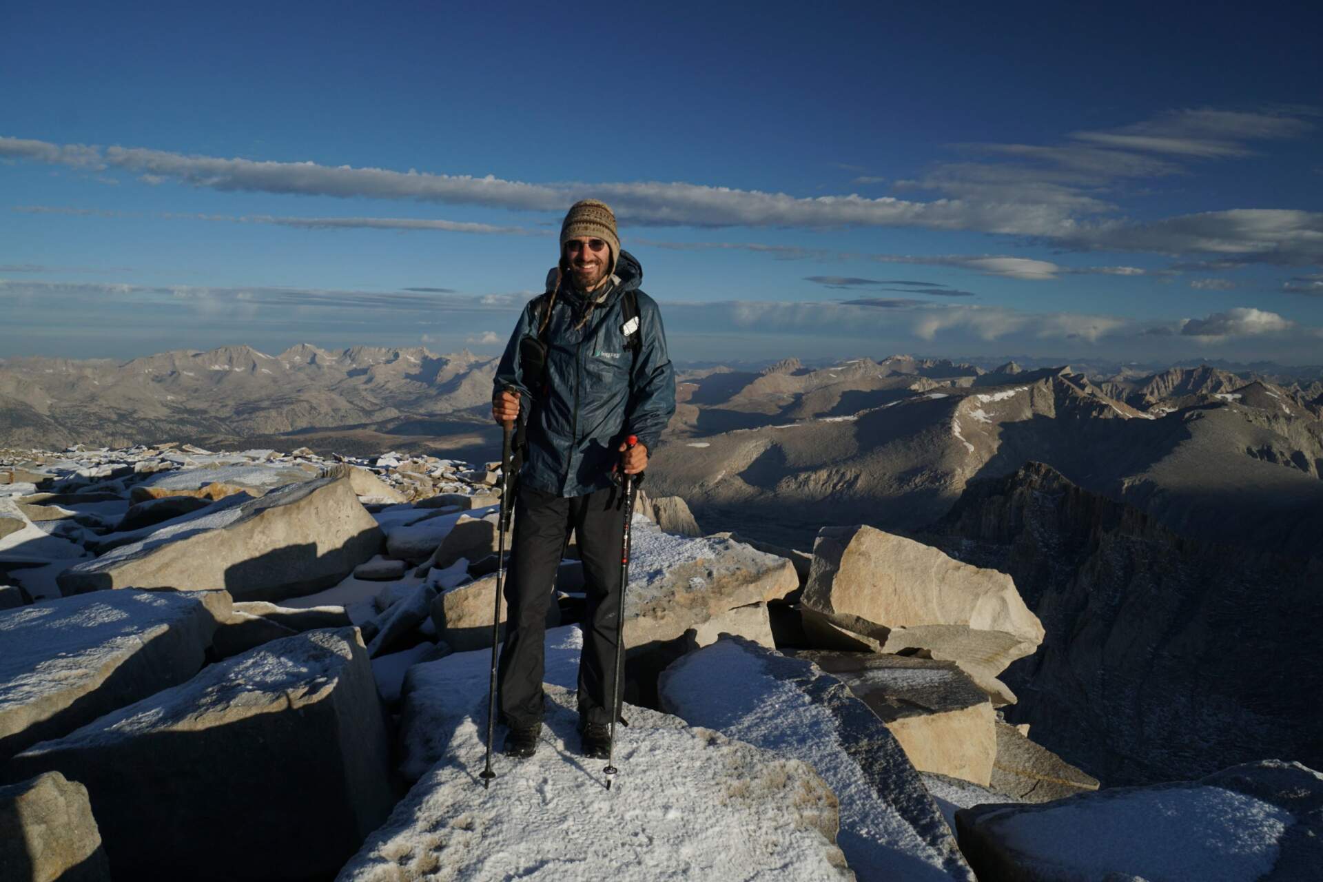
From Seattle I flew back to California. First the sequoias, then the High Sierra Trail to Mt. Whitney (4,416 m): I had my alarm set for 2:22, set off at three and the last half kilometre was on snow. From there back to the PCT and north through the Sierra, in the same places where in June the water was flowing waist-deep. I cannot imagine how much snow there was here a few months earlier.
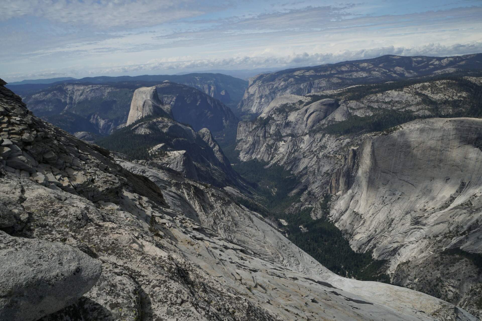
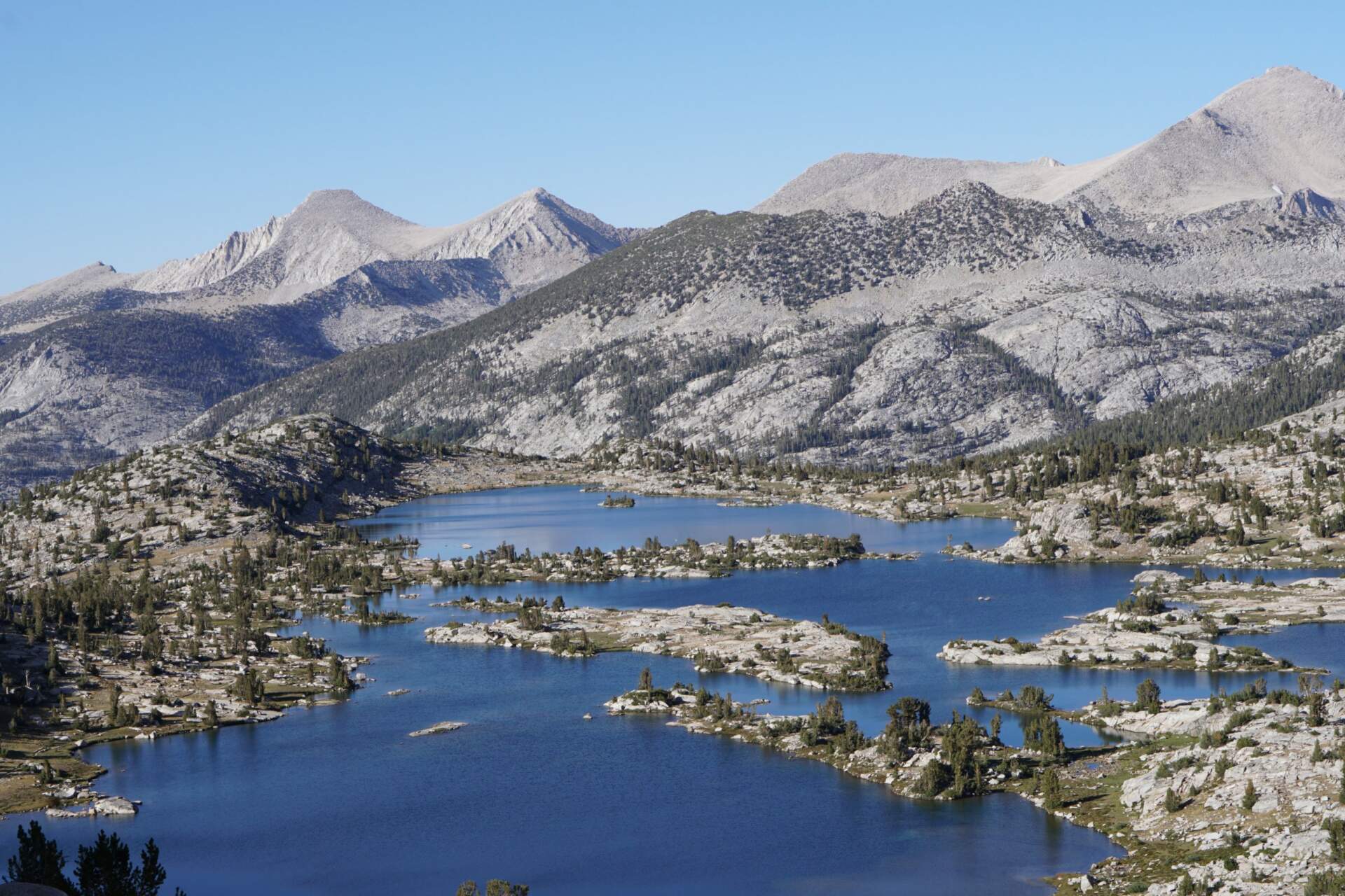
Without snow I saw lakes, passes and valleys that I had not seen in June. I finished in Yosemite: Clouds Rest, Half Dome on the chains by headlamp light and six days in the park. At the end the redwoods and on 23 September a flight home.
My route on the map
A recording of my trip on Outdooractive. The gaps are sections I skipped by hitchhiking. Switch the base map at the top right or enlarge the map to full screen.
Elevation profile
PCT and alternatives (April – August)The Sierra a second time (September)
Best season and conditions
From the south from mid-March to the end of May
In these months almost fifty people start from Mexico every day (that is the permit limit). In Southern California there is more water and longer days in March and April, and for the first two months you always have other hikers around you. In the Sierra Nevada there is usually snow until the end of May. In spring 2019 there was in places the most in twenty-five years.
From Canada in July
In July a second group starts from the north heading south. If you want to hike the whole PCT, I would go from the south: you will meet more people and will not be alone.
My 2019 season
I started on 11 April, crossed the Sierra in May and June with snow and in September a second time without it. The difference is huge and it is the reason I went back. The comparison is in a separate article.
Permits, transport and safety
Permits and visas
For the PCT 50 permits are issued for each start date: 35 are distributed in autumn and 15 in January. In January 2019 I managed to get 11 April. The permit is free. In addition you need a California Fire Permit for a stove and a permit to cross the Canadian border on a hiking trail, also free. A tourist visa to the USA is valid for three months, so I arranged a six-month one (€144).
Transport and supplies
I flew into San Diego via Los Angeles by bus, and from the city the trail angels drove us to the border. Along the route I hitchhiked: in the USA from a few minutes to two hours, in Canada longer. I did not send packages, almost everything could be bought in towns. Twice I had trainers ordered from Amazon to a post office. Water is shown by an app and the “water report”; in Southern California there are sections without water of 15 to 40 km. In the Sierra I carried food for up to ten days.
Bears and safety
There are black bears on the PCT, but they are shy. In the Sierra a food canister is mandatory (I had a Bear Vault BV500). During the whole trip I saw four bears, all in Canada. I had no SIM card and relied on meeting somebody with a Garmin inReach at least once a day. Practical advice is in a separate article.
How much it cost
Transport €715, insurance €433, visa €144 and gear bought on the road €848. In total, including food, €3,671, excluding the gear I had from Slovakia. Today it is common for people to spend twice as much.
My gear on the hike
Part of my gear, with weights 7,600 g, after Truckee 4,446 g
| Backpack | Hyperlite Mountain Gear Porter 4400 ↗ (today a similar model, Junction) | 1,065 g |
|---|---|---|
| Tent until Truckee | MSR Hubba Hubba 2 NX (with spare parts) | 1,750 g |
| Tarp after Truckee | Six Moon Designs Gatewood Cape + mosquito net | 415 g |
| Sleeping mat | Therm-a-Rest NeoAir XTherm ↗ | 444 g |
| Sleeping bag | Cumulus Panyam 600 ↗ | 950 g |
| Poles | Fizan Compact 4 ↗ | 346 g |
| Base layer | Devold 205 | 290 g |
| Sierra until Truckee | Bear Vault BV500, Kahtoola Microspikes, Camp Corsa ice axe | 1,819 g |
| Camera | Sony a6300 + 10–18 mm + 50 mm | 936 g |
Thank you to the partners for the gear that keeps me comfortable on hikes. Links with an arrow lead to their shop.