Wind River High Route
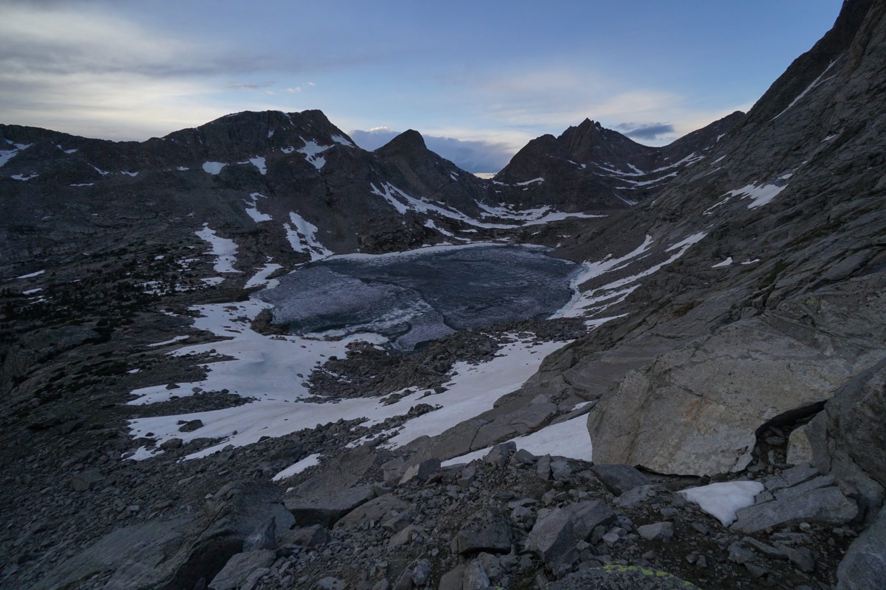
The wildest mountain route in the contiguous USA: more than 3,000 metres above sea level, ridges, passes and glacial basins, mostly without a marked trail. A guide and notes from my trip.


Go if you
- enjoy moving off the marked trail and can navigate with a navigation app
- can handle snow, scree and river fords
- do not mind meeting only a few people on most days
Skip it if you
- want to go early in the season without snow experience: in June and July I often sank in up to my waist
- do not want to ford rivers or find your way through forest and snow
- need a marked trail
The hardest parts
- the climb from the valley to the nameless lakes and passes east of Europe Peak
- the steep Douglas Pass over scree, where I had to use my hands for almost ten metres
- snowy passes where I used microspikes and an ice axe
How I hiked it
Sinks Canyon: start at 2,200 m
start 2,200 mmoose and deerUrsack
I start walking slowly, before four in the afternoon, from the end of Sinks Canyon Road along the Middle Popo Agie river at an altitude of 2,200 metres. There are a few cars in the car park, and on the trail I only meet a family on a short outing. The beginning leads through a fairly dry area alternating with forest. I see a moose and a deer. With a full pack I do not feel like going far, so I pitch my tent before eight. All my food does not fit into the Ursack, so I hide the rest next to it. On my phone I find an alternative route over a mountain almost 4,000 metres high. It is only on Mapy.cz, not in FarOut.
Wind River Peak and the descent to Big Sandy
summit 4,022 mcouloir 30–35°2× ford
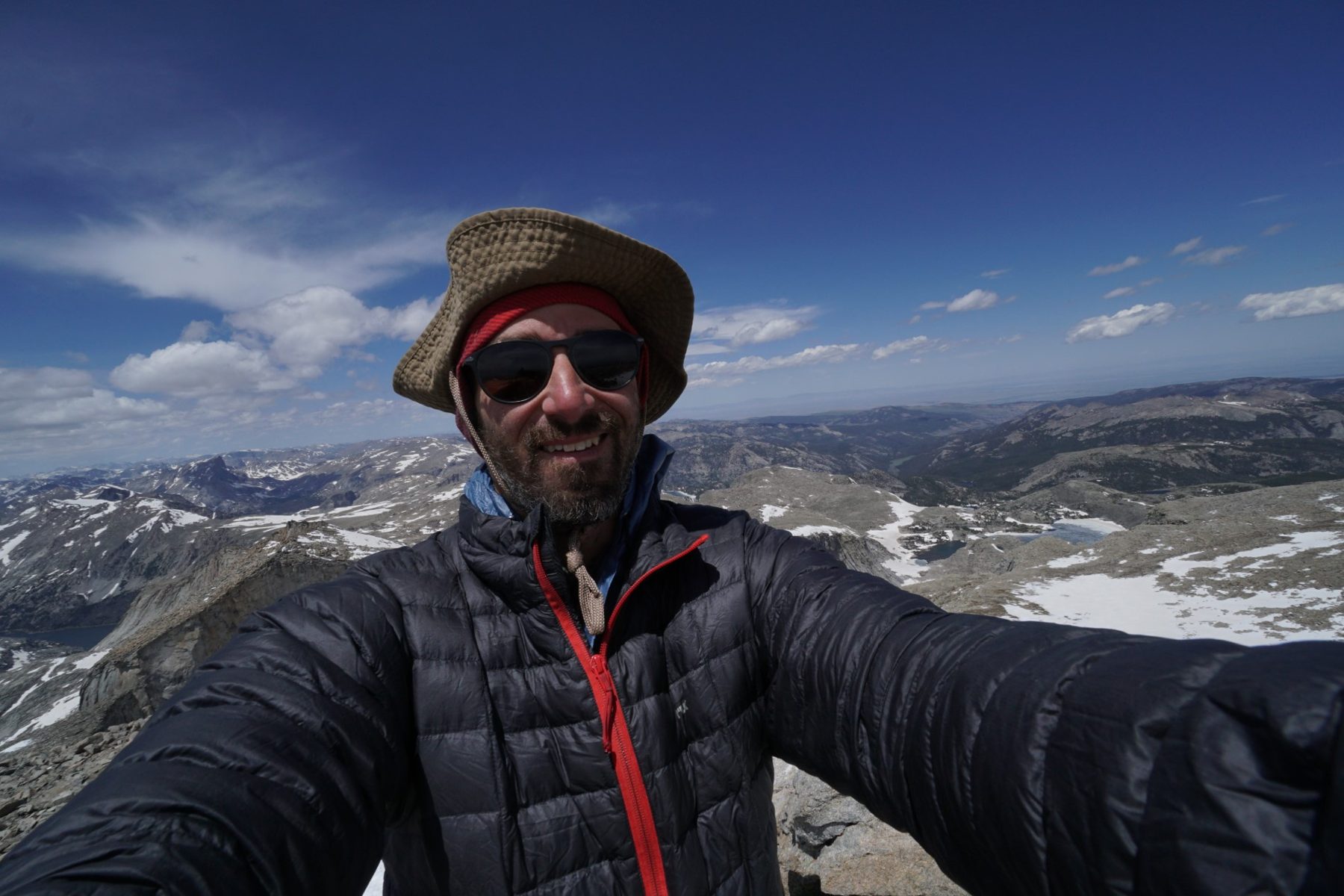
I set off only at half past seven in the morning. For a few kilometres I walk through forest to the turn-off on a snow-free trail, and I am surprised that at 3,000 metres it is dry. I turn towards Wind River Peak, where there is more snow and beautiful lakes. The summit I can still see is a false one; the real one is 150 metres higher. I look for a way across the snowfields, the slope is gentle. When I reach the top, the sun is shining and the view is like from a fairy tale. The single pointed massif reminds me of Yosemite, only wilder.
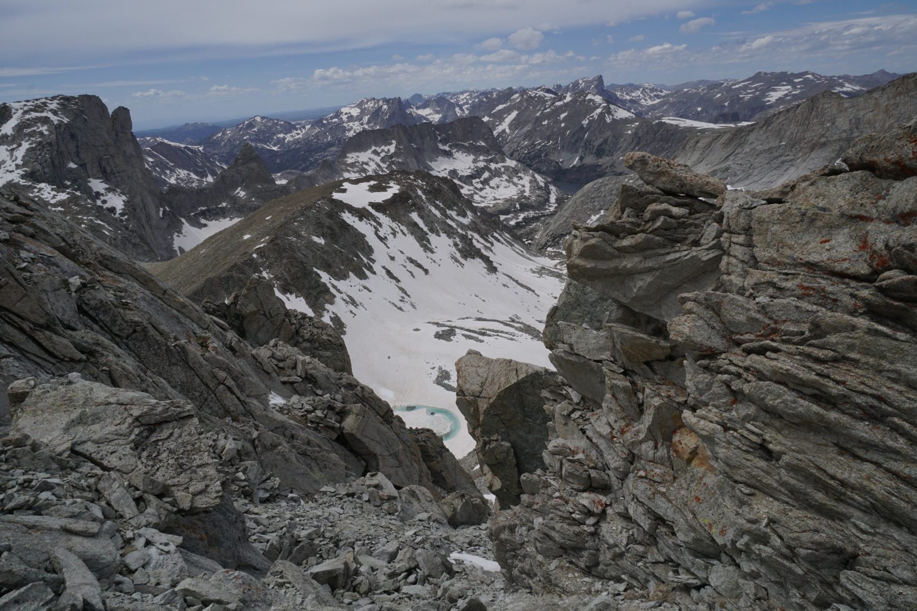
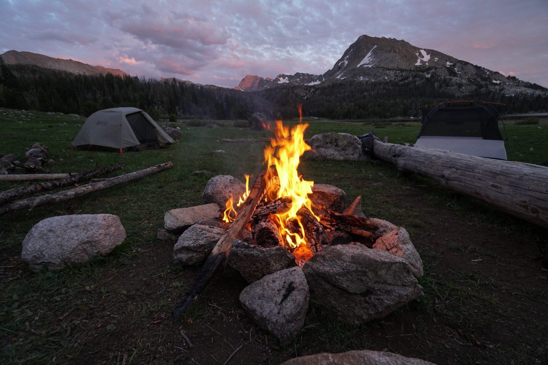
The first hundred metres of the descent are free of snow, then comes a steep couloir whose bottom I cannot see from the summit. I go down the upper part on steep scree, the lower part is under snow and sometimes I sink in up to my waist. When I can, I prefer scree and rocks, even though the slope is, by my estimate, 30 to 35 degrees. Behind Black Joe Lake I ford a knee-deep river. I wanted to follow its north bank, but the rock would not let me. Then I find a normal trail to Big Sandy Lake, where I ford the river again. I pitch my tent after half past eight in the evening and chat with a couple and their adult daughter from Las Vegas, who drove eleven hours and chose the approach to Big Sandy from a place 5 miles away to the west.
Hailey Pass, Raid Pass and Jim Harrower Lake
~20 km on a trailRaid Pass 3,450 mshowers
For almost twenty kilometres I walk on a normal trail. I cross several saddles with and without snow, twice I hide behind a rock from a strong short shower, and at least five times a day I put on my jacket and take it off again because of rain or wind. From the main trail I turn onto the Hailey Pass Trail north to Pyramid Lake beneath the mountain of the same name. My trail ends at the lake, in reality earlier, because the last kilometres I walk on snow and grass. I climb to the pass on snow with a view of Mount Geikie (3,677 m) and its neighbouring peaks.
A guy told me that according to his watch there would be a storm at eight. It is past seven, it does not look like a storm, so I carry on. I am at Raid Pass (3,450 m) at eight. Beautiful huge mountains give way to a view of rolling hills that look more like a plain, and the CDT runs there too. At a small saddle on the right I find a shortcut. The descent is steep with a snow section, but I saved myself the detour via the lower lake and had a wonderful view. I pitch my tent at Jim Harrower Lake. I sit in the tent at 9:20 in the evening; it was a long day.

Pronghorn, Photo Pass and Europe Peak
Europe Peak 3,737 mstormforest like a maze
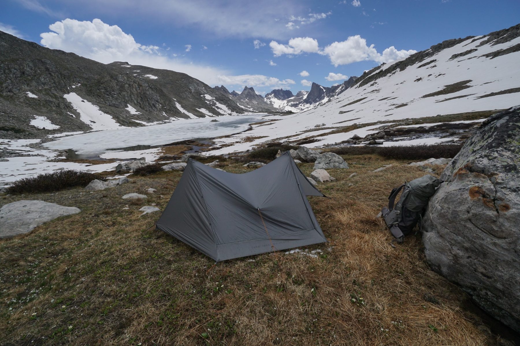
I start only at a quarter to nine in the morning. I climb through a pass from which, on the west side, I see the wall of Pronghorn Peak (3,722 m). My navigation shows two variants; I choose the harder one over Photo Pass and another pass up to Europe Peak (3,737 m), after which a traverse awaits until it joins a larger trail. On the way I meet a group from Utah who offer me dehydrated eggs with vegetables. Further on it is still terrain without a trail, bushes, snow and dwarf pine, so I move slower than I would like.
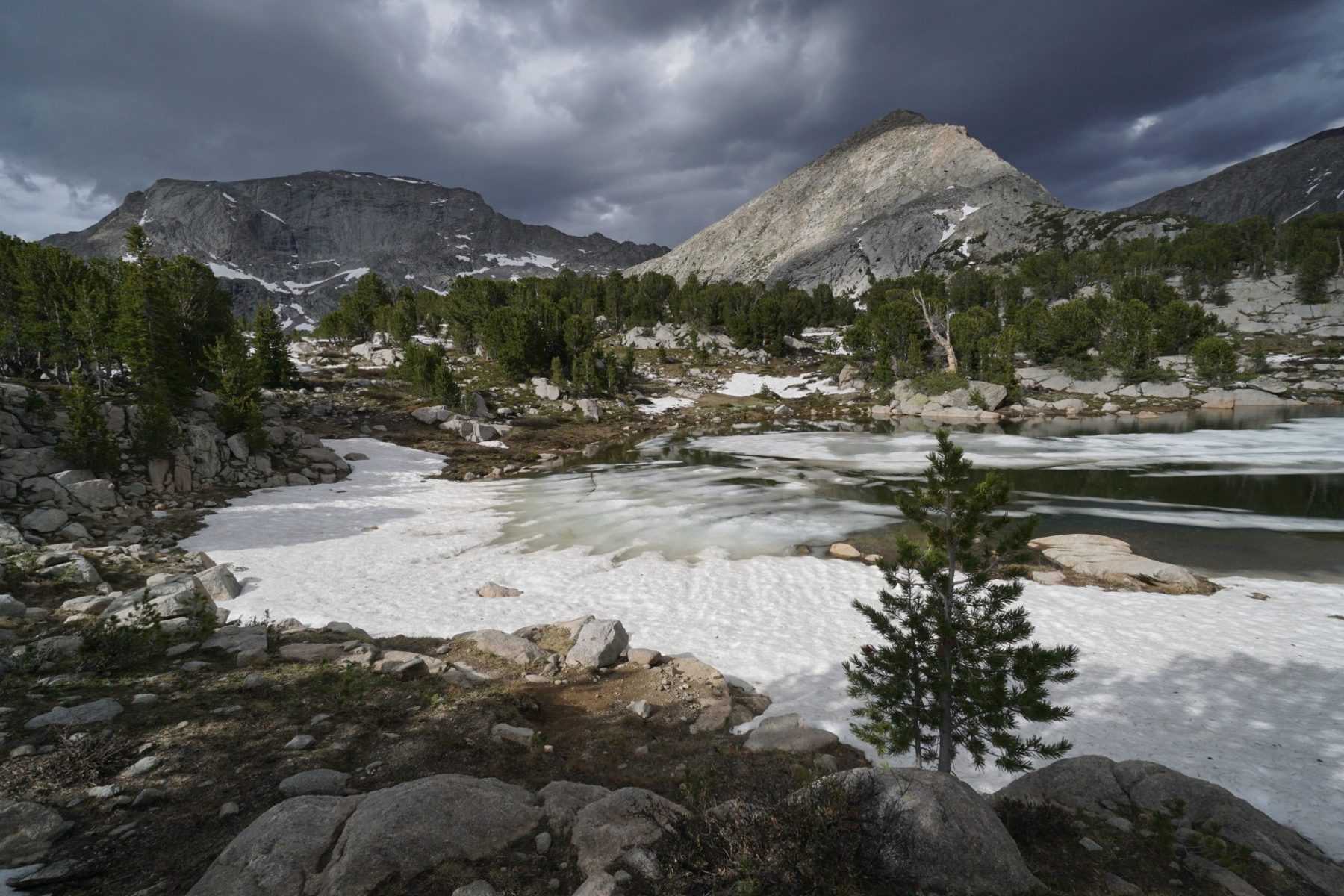
A storm comes over a frozen lake, so I quickly cross a snowfield and pitch my tent on a flat spot. It is a proper one, but after half an hour the sun is shining again. Then I climb over rocks along a snowfield to a pass with a view of many lakes to the south and a valley with lakes to the north. On the descent I have to look for the ideal line; without snow it would be much easier. On the trail I see the track of a big cat. I did not see any bear droppings at all except on the first day in the lowlands; the bears are probably lower down while there is snow higher up.
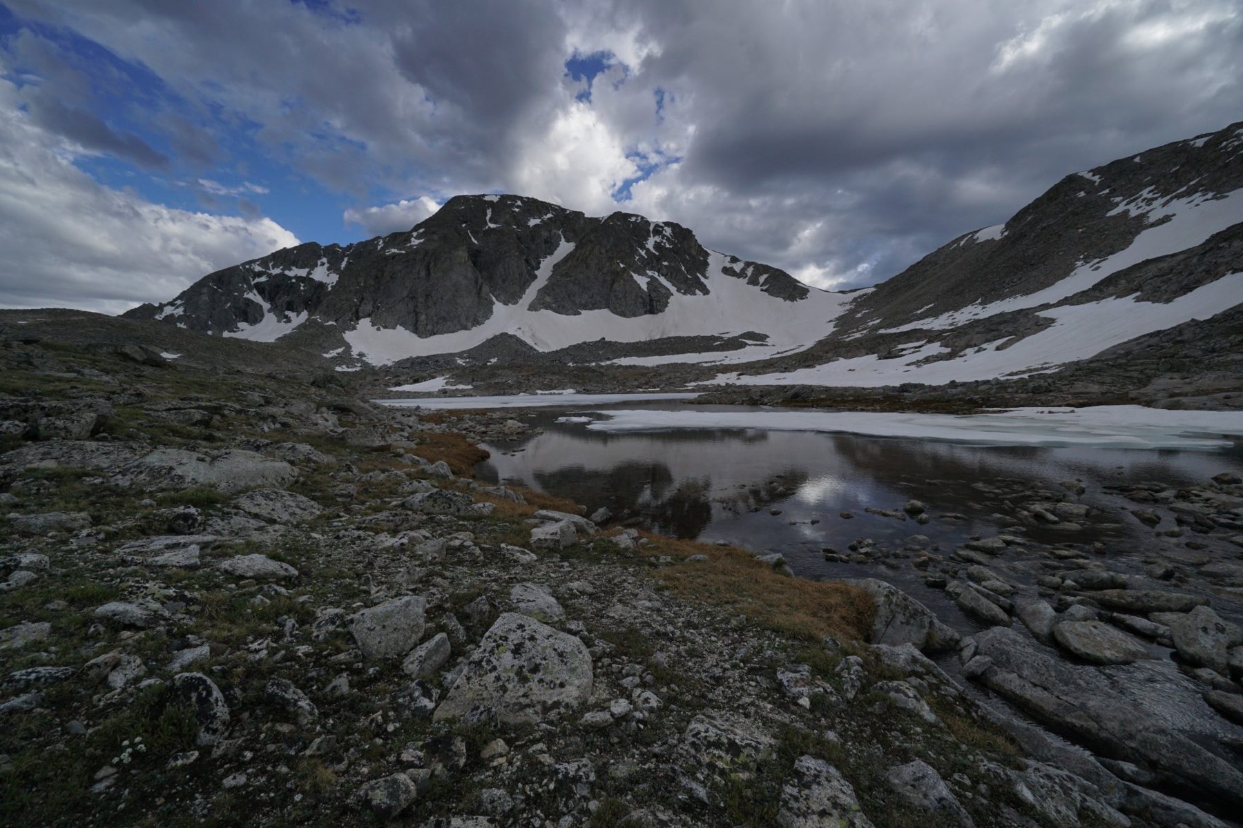
The hardest part is the climb from the valley to the nameless lakes and passes east of Europe Peak. In the forest there are dozens of animal trails, sometimes cairns every five metres, and I still lose them several times. The forest is like a maze and I go with the help of navigation. Looking at Europe Peak I have no idea where the way up is supposed to be. The contour lines on the map do not look as rough as reality. Below the mountain there is also a normal marked pass that you can use to go down if nothing works higher up. I pitch my tent before the pass on a flat spot on a hill.
Douglas Pass
scree~10 m using my handsleaving the main route
The climb to the steep pass over scree takes a lot out of me. You can see three places where you could go up. Halfway I realise that the correct one is not the middle one but the far western one, so I traverse. Just below the pass I take off my backpack and hide my poles; for almost ten metres I help myself with my hands. From Douglas Pass I see that the next valley has more snow. At the second lake, after six, I pitch my tent in one of the few places without snow, sheltered from the wind on one side and with a wall of stones on the other.
Although I would love to finish Skurka’s variant, there is too much snow, and I split off onto a shorter and lower route to Green River Lakes. The main route is really suitable for August or a year with little snow. Given the conditions, it was one of the hardest but also most beautiful hikes I have been on.
Knife Point, Indian Pass and Titcomb Basin
microspikes + ice axeglacier traverse4 July
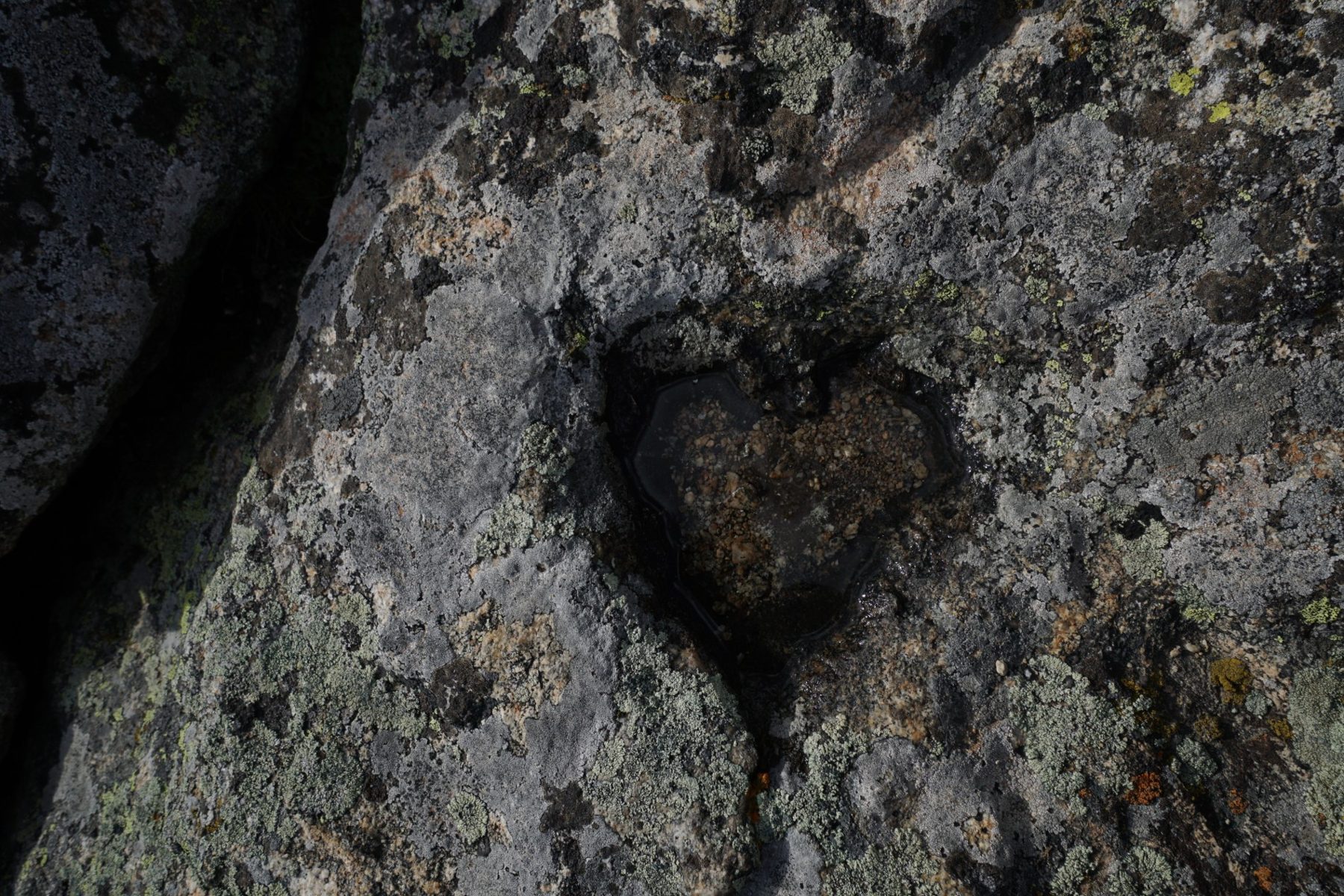
The wind wakes me at sunrise. I set off at six, climb to a lake below the pass, then around the lake and straight up. I put on my microspikes and take an ice axe in my hand. The slope is not so steep and I am at the pass before eight. In front of me is the valley with the Knife Point glacier. In the distance I see a peak that probably belongs to the highest mountain of the range, Mount Gannett (4,206 m). Skurka’s High Route goes down into the valley for a few kilometres and turns north, where several high snowy passes follow, which I hope to do another time. I turn left and traverse the glacier over a thick layer of snow to Indian Pass. From there I descend the valley to the north and I no longer know how many times I sink in up to my waist. It is 4 July and I meet people only at the turn-off into Titcomb Basin, which an American I met in Huaraz recommended to me. Two lakes are surrounded by high steep rock walls. A local couple tell me they will go over the steep snowy Bonney Pass, behind which await a glacier and Mt. Gannett. They have crampons and a rope.

The last 32 km to Green River Lakes
32 kmsnowfield above the lakefinish: Green River Lakes
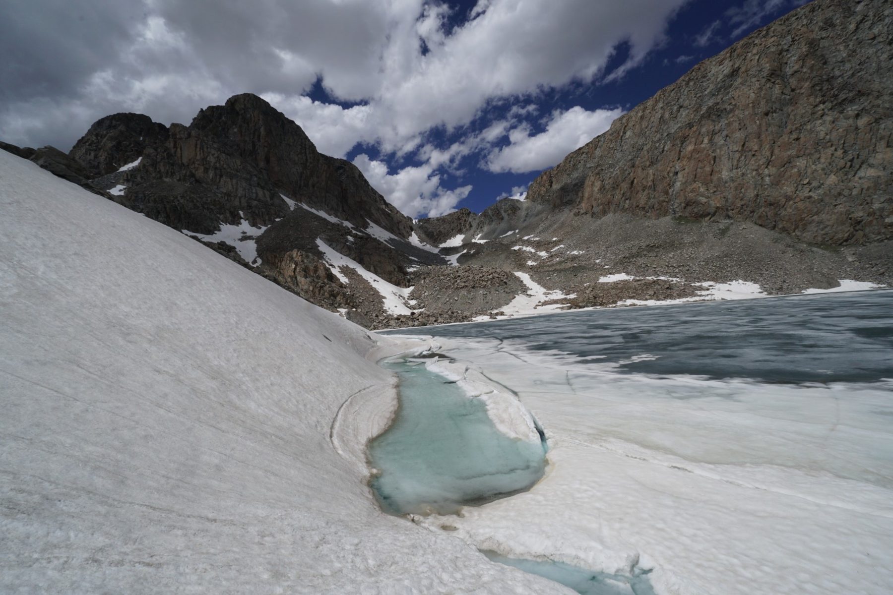
On the last day, 32 kilometres await me to Green River Lakes, where there is a car park with a road to civilisation. I start only at eight. After a few minutes a steep snowfield reaching straight into the lake surprises me. The snow is a little softened, so I stamp and make steps about ten metres above the water. Later I ford a knee-deep stream. At the pass where one of the CDT alternatives goes, I do not see a single footprint. I walk on snow for another hour, then grass, forests and meadows welcome me. From Green River Lakes it takes more than an hour by car to Pinedale. There the library is open until eight in the evening, there are grocery shops and an outdoor shop, and a few streets further a grassy area where you can camp.
My route on the map
A recording of my trip (154.7 km according to Outdooractive). You can zoom and pan the map and switch to another base layer (topo, USGS, satellite, OpenStreetMap).
Elevation profile
Highest point of the recording: 3,980 m a.s.l. (GPS elevations, approximate). According to Outdooractive the route is 154.7 km with 6,611 m of ascent and 6,355 m of descent.
Best season and conditions
August to early September (the ideal window)
In this period most high passes are free of continuous snow cover, snow bridges over streams are stable and night temperatures at altitude remain acceptable.
June and July (early season, the conditions of my trip)
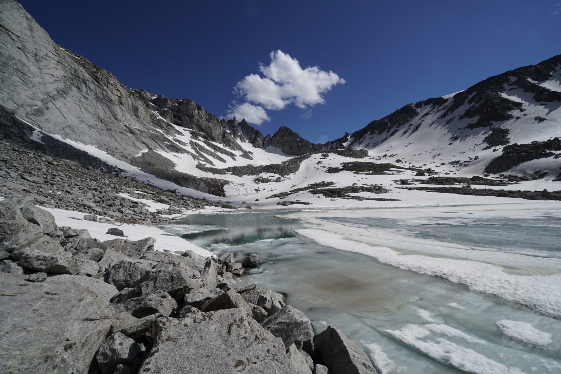
In June and July a huge amount of snow stays at altitudes above 3,200 metres. The passes are covered with steep snowfields, couloirs require microspikes or crampons and an ice axe, and sinking in up to your waist in wet snow slows progress considerably.
Permits, transport and safety
Permits
In the Wind River Range (Bridger-Teton and Shoshone National Forests) I did not need any paid quota permit on my trip. When entering the wilderness at the trailhead you fill in a free registration slip.
Transport
Access from the east (Lander): Lander is a pleasant mountain town with a Safeway supermarket and outdoor shops. You can get to the start of the route (Sinks Canyon / Bruce Bridge) by car or by hitchhiking.
Access from the west (Pinedale): Pinedale serves as the main base on the west side. There is no public transport to the end of the route at Green River Lakes (or Big Sandy); people hitchhike or get a lift from locals.
Bear safety
Both black bears and grizzlies live in the Wind River Range.
Store all food, rubbish and scented toiletries at least 50 metres from your tent. I recommend a special Ursack bag (bear-bite resistant) or a hard bear canister, and bear spray always within reach on your chest or hip belt.
My gear on the hike
Part of my gear, with weights 4,733 g
| Backpack | Gossamer Gear Mariposa 60 ↗ | 930 g |
|---|---|---|
| Tent and pegs | Gossamer Gear The Two ↗ (12 HMG pegs) | 812 g |
| Sleeping mat | Thermarest NeoAir XTherm ↗ | 435 g |
| Sleeping bag | Katabatic Flex 22 ↗ (900 goose down, water-repellent) | 644 g |
| Base layer | Devold Duo Active 205 ↗ | 274 g |
| Socks | Darn Tough Hike/Trek (style 1902, 63% merino), one pair | 78 g |
| Microspikes | Kahtoola Microspikes | 347 g |
| Ice axe | Camp Corsa | 277 g |
| Camera | Sony a6300 + 10–18 mm + 50 mm | 936 g |
Thank you to the partners for the gear that keeps me comfortable on hikes. Links with an arrow lead to their shop.