GR20 in Corsica
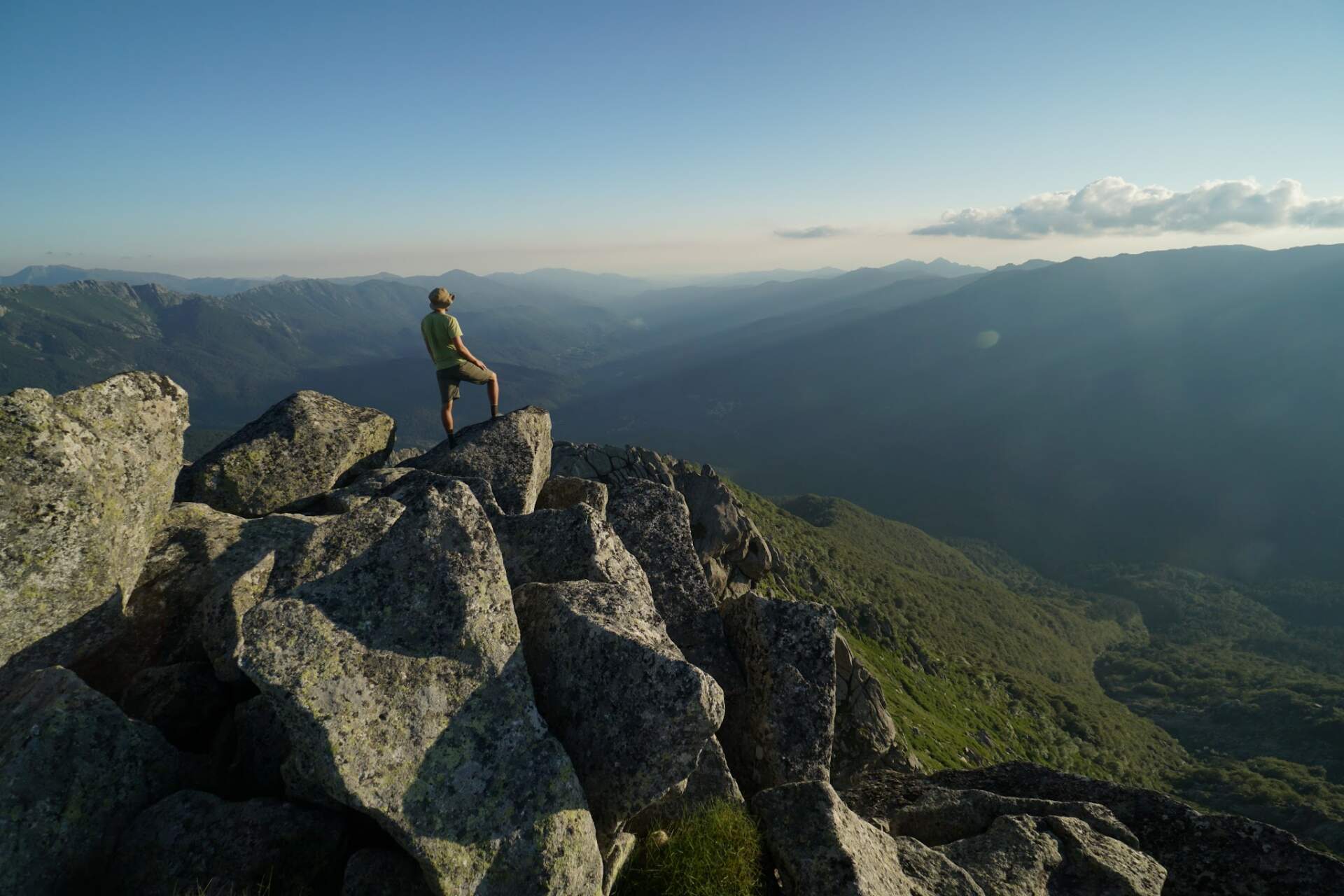
The GR20 is considered the most beautiful and the most demanding hike in Europe: about 190 km and 13,000 m of ascent across rocky ridges and the two highest mountains of Corsica. My story of eleven June days in 2020.
Go if you
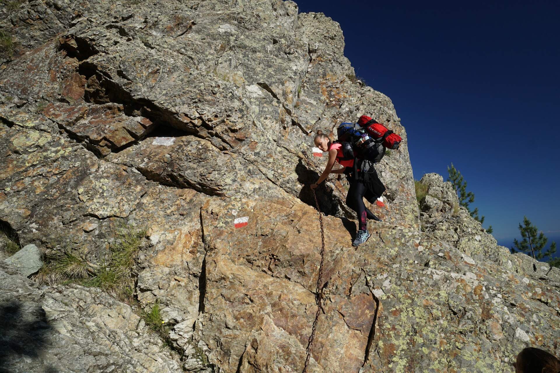
- do not mind scrambling over rocks and chains with a rucksack
- want to see both mountains and sea from one place, on both coasts
- can handle days with more than 1,600 m of ascent
Skip it if you
- do not want to use your hands on steep rocky sections
- need easy and even days in the northern part of the route
- do not want to plan food and water between huts and villages
The hardest parts
- day two: 13.7 km and 1,675 m of ascent with chains and steep stone slabs
- Monte Cinto: two hours of rock scrambling with a light pack
- Monte Rotondo: the finish demands full use of your hands
How I hiked it
From Calenzana to a saddle with a view of the sea
18. 6.start Calenzana+1,000 m
At half past five in the morning Camilla, who put us up for the night, opens the gate for us. After the ferry we arrive in the village of Calenzana, where the GR20 begins, and park by the grocery shop. We set off at half past four in the afternoon.
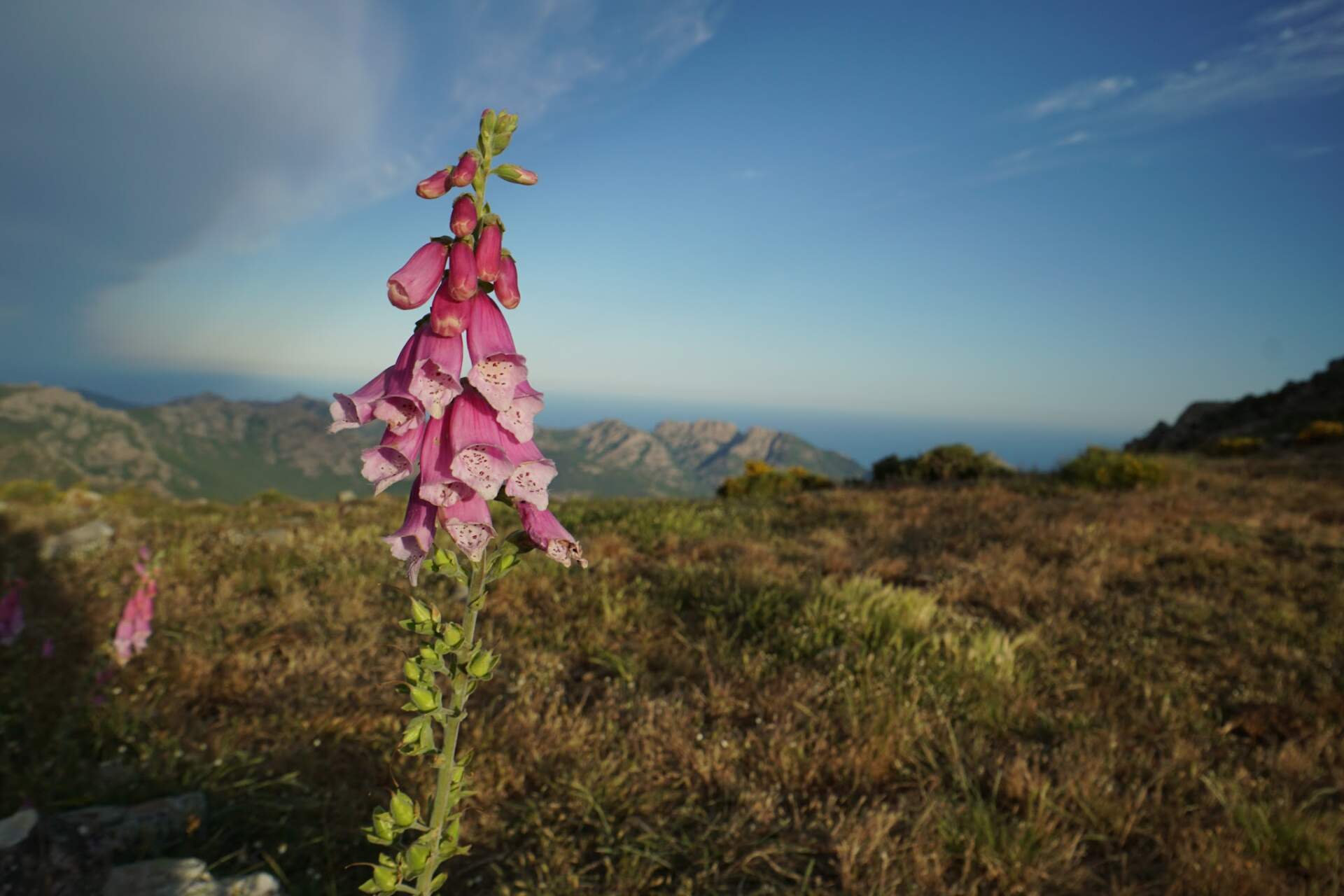
On the first day Peťa comes with us, and for her it is the first multi-day hike. We count on splitting up later, when she will explore the island by car. On the first day we climb 1,000 vertical metres. From the saddle there is a wonderful view of the mountains and the sea, so we stay there for the night. A few dozen metres from the trail we find a grassy spot ringed by stones, watch the sunset and cook out of the wind.
Peťa goes down, we carry on
19. 6.13.7 km+1,675 m / −1,273 m
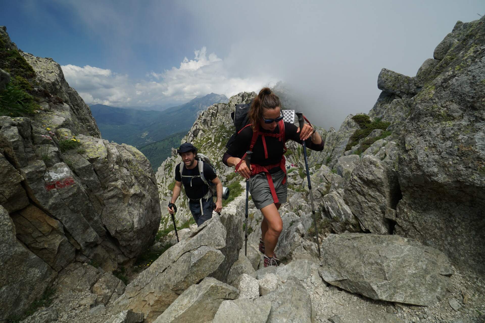
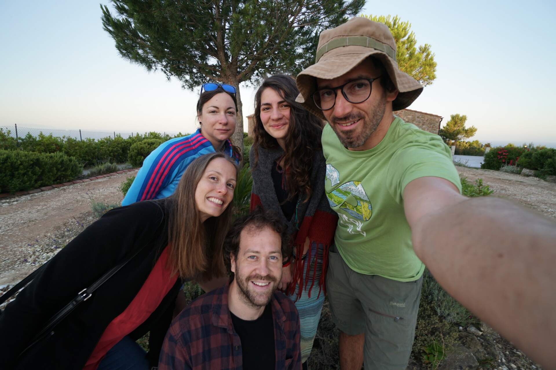
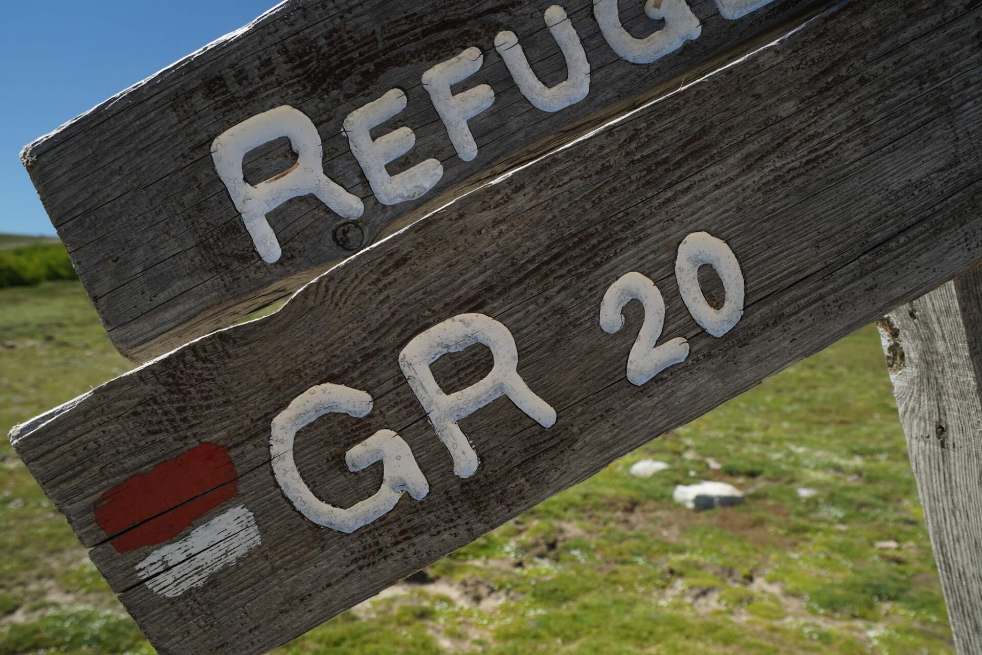
The light wakes us already at six, and after an hour of exercises and packing we set off at 8:15. The trail is more technical and in places we have to use our hands. After twelve we reach the hut Refuge de l’Ortu di u Piobbu, where we cook and fill up on water. Here we say goodbye to Peťa, who descends to the car. With Mišo and Eliška we set Haut Asco hut as our goal.
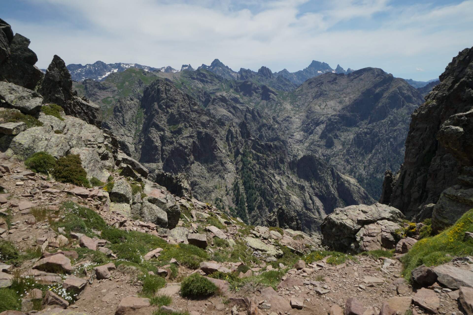
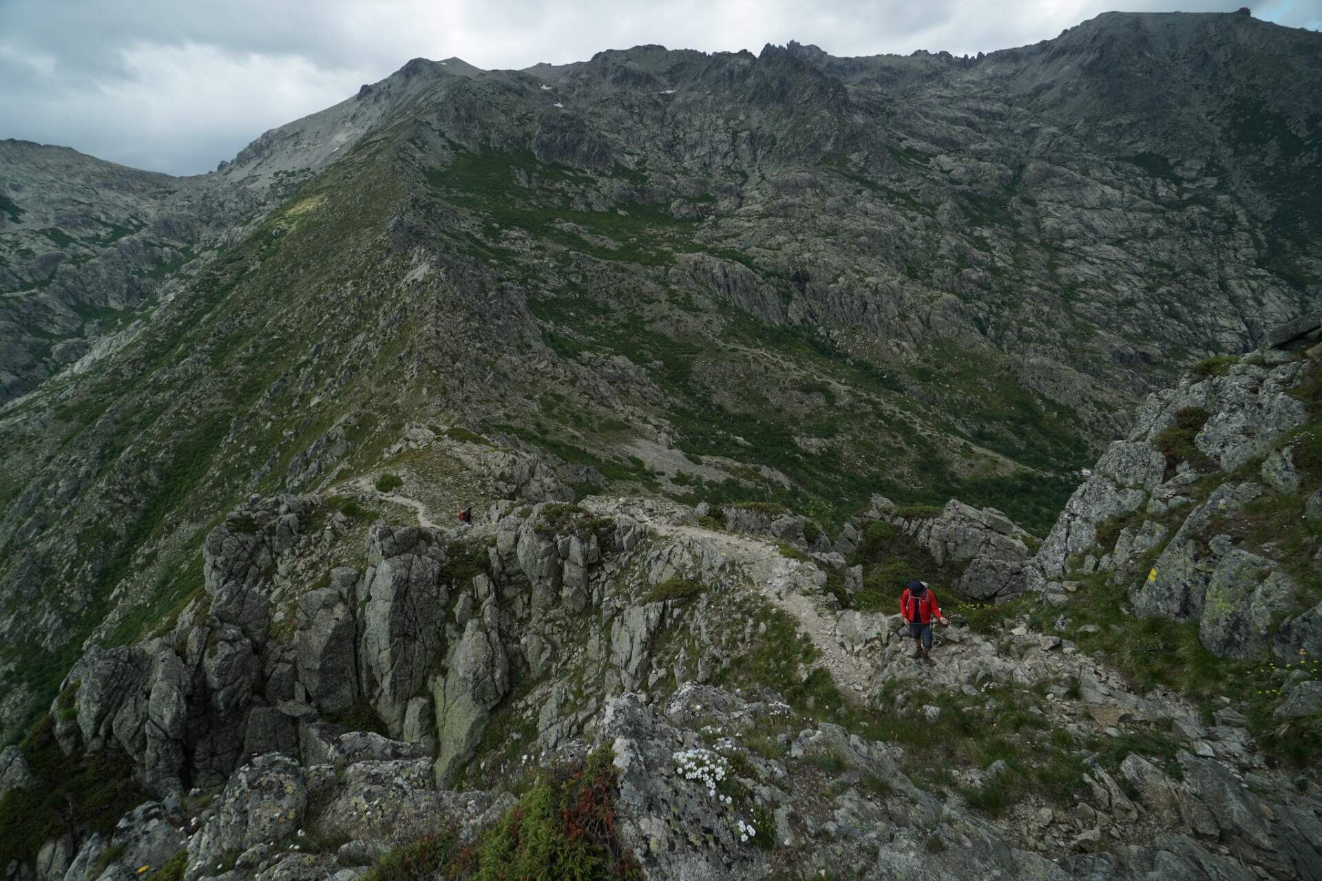
At half past one we continue. The trail gets more and more hair-raising, with more chains and steep stone slabs. Five hundred metres before the Refuge de Carozzu hut we put our feet in a stream, and beyond the hut we continue along a mountain lake. At half past seven in the evening we find a grassy spot for the tent among the trees, with a view of the mountains and, in the setting sun, the sea.
On the roof of Corsica: Monte Cinto
20. 6.Monte Cinto 2,706 mHaut Asco 1,400 m
Before seven we start climbing. At the Haut Asco hut (1,400 m) we top up water and food. At ten we start the ascent. After three hundred vertical metres we take 1.5 litres of water from a river and, after demanding rocky sections with chains, arrive at the saddle.
In the saddle we leave the rucksacks, poles and stove, and at three in the afternoon we set off light along the white and red markings to the summit. After two hours of demanding rock scrambling we stand on Monte Cinto (2,706 m), the highest mountain of Corsica. From the top you can see the ocean on both the western and eastern coast. At six in the evening we are back in the saddle, where we cook chicken with rice from melted snow. Then we descend lower, finish our water and get ready for the night.
An easy day and the Ciottulu di i Mori hut
21. 6.almost 2,000 mfirst signal
We get up after six and descend steeply to a stream. At the next stream we bathe and catch our first phone signal. We find out that Peťa got down safely and that Mišo and Eliška are descending after us from Monte Cinto.
We climb over rocks to the highest hut, Refuge de Ciottulu di i Mori (just under 2,000 m above sea level). On the terrace we meet a German mother and daughter walking the Mare a Mare route. We lend them cooking gas and as a reward they treat us to rice, baguette and cheese. We continue across meadows with cows and horses grazing freely to Bergeries de Vaccaghia and climb to the Petra Piana hut.
The Bocca alle Porte saddle and the Petra Piana hut
22. 6.Bocca alle PortePetra Piana hut
We climb steeply to the Bocca alle Porte saddle. From it opens a fairytale view of two huge glacial lakes below a rocky ridge. After several hours along an exposed ridge we arrive at the Petra Piana hut at seven in the evening. We pitch the tent and at nine crawl into our sleeping bags.
Monte Rotondo and a night on the ridge
23. 6.Monte Rotondo 2,622 m+700 m to the ridge
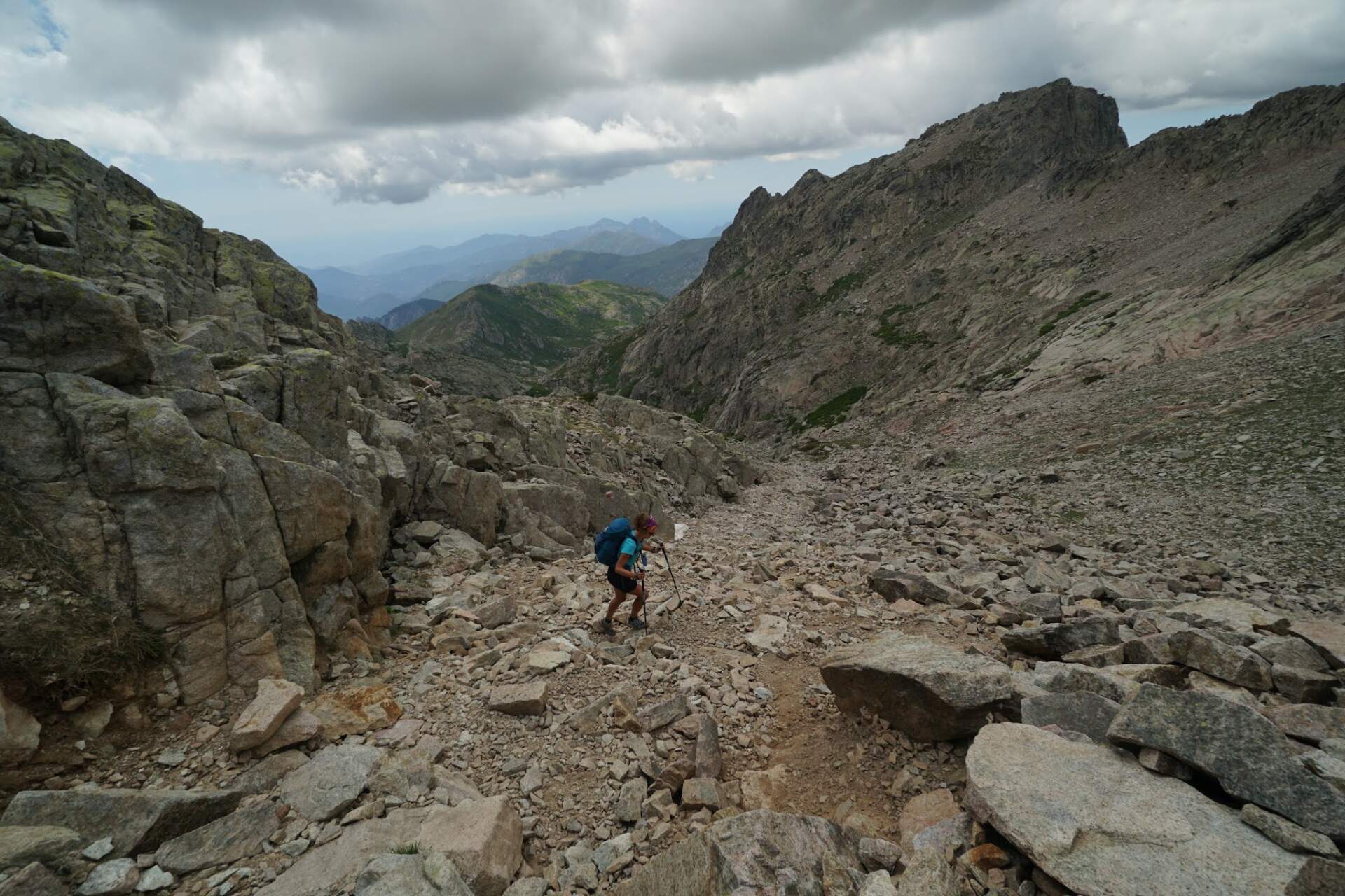
In the morning at 6:15 we pack the tent, leave part of our things at the hut and after seven set off light for Monte Rotondo (2,622 m), the second highest mountain of Corsica. We climb past the huge, icy Lake Bettaniela. The final section demands full use of your hands while scrambling over rocks.
On the summit we meet French hikers with a guide, who is amazed that we navigate only with the mapy.cz app and without a printed map. After returning to the Petra Piana hut we cook lunch and wait for Mišo and Eliška. Together we choose an alternative grassy route along the ridge above the L’Onda hut. We climb 700 vertical metres and camp right on the ridge, from where we watch the sunset over the sea and a starry sky.
Bathing in a river, pizza in Vizzavona and half of the route
24. 6.−1,000 mVizzavona
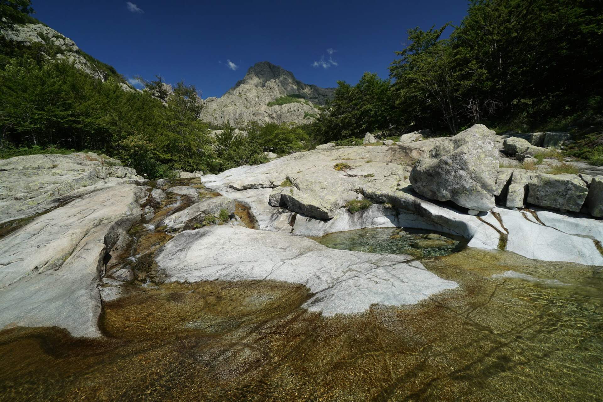
After six in the morning we descend 1,000 vertical metres and bathe in refreshing natural pools in the river. We descend to the village of Vizzavona, which separates the northern and southern parts of the GR20. At a stall by the station we have pizza with ham and mozzarella for €13 and spend two hours recharging electronics in the shade.
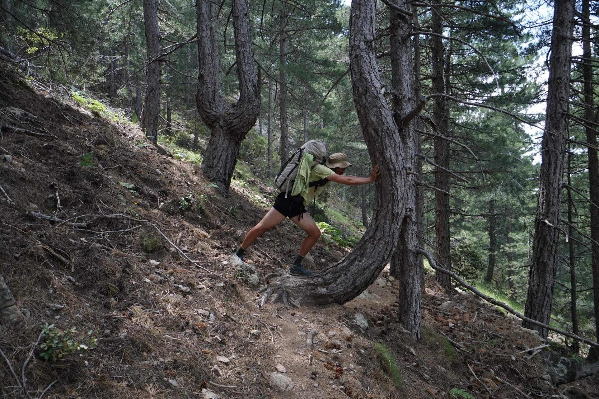
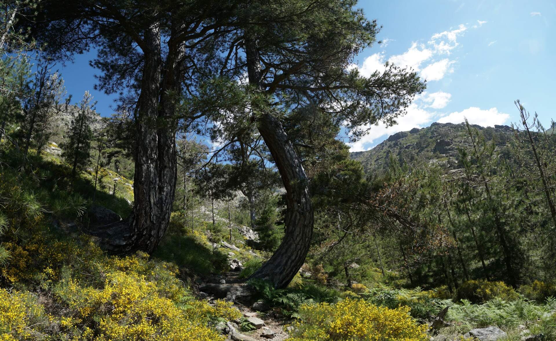
The southern part is lower, greener and less demanding in terms of rock. We walk through forest to abandoned little houses by Bergerie de Scarpaccghje, where we pitch the tents and talk until dark.
Relais San Petru di Verde and Punta della Cappella
25. 6.Punta della Cappella 2,041 ma bivouac under the Milky Way
We set off before seven in the morning. We pass a ski resort and stop at Relais San Petru di Verde, where we cook and rest in the shade. At the Refuge di Prati hut we take on water and climb to just below the summit of Punta della Cappella (2,041 m).
We leave the rucksacks below the summit and run up over big boulders to a wooden cross, from where you can see the narrowed end of the island and the sea on both sides. We bivouac a little below the summit under a bright Milky Way.
Panoramic ridges and Bergerie de Bassetta
26. 6.rocky ridgecheese for €10
In the morning a red-pink sunrise welcomes us, along with goats with bells around their necks. We walk along a rocky ridge. On the eastern side fog rolls over, while on the western side the sun is warm.
At Bergeries de Bassetta we buy a loaf of cheese for €10 from a local and eat half of it right under a tree. At Refuge de Matalza we buy more baguettes and at Bergerie de Croce we watch a gathering of off-roaders. We pitch the tents on soft grass by a stream and fall asleep at nine in the evening.
Village de Bavella and the finish in Conca
27. 6.finish in Conca190 km in total
We set off at 6:45 in the morning. We descend a steep scree slope and later bathe again in a stream. In the tourist village of Village de Bavella we buy panini and pancakes with Nutella and banana. At sunset we admire steep rocks turned red.
On the eleventh day we finish the whole GR20 in the little village of Conca. In total we covered 190 kilometres with 13,000 metres of ascent and descent. In Conca Peťa is waiting for us with the car.
Bonifacio, Bastia and hitchhiking to France
28. – 30. 6.BonifacioBastia → Toulon
With Peťa we visit Bonifacio with a view of Sardinia, swim at Rondinara beach and spend the night near Porto-Vecchio. Then we move on to Bastia to the couchsurfer Roxane.
My friends return to Slovakia by car and on the evening of 30 June I sail by ferry from Bastia to Toulon. On the boat I meet two 18-year-old Frenchmen, Ben and Mat. One of them had walked the whole GR20 in canvas sneakers. In the morning in Toulon I hitchhike with Ben across France towards Grenoble and Chambéry, from where I continue to my friend Evka before the next hike, around Mont Blanc.
My route on the map
A recording of my route (189.9 km according to Outdooractive). You can zoom and pan the map and switch to another base map (topo, satellite, OpenStreetMap).
Elevation profile
The recording was made afterwards, so at the summit of Monte Cinto (2,706 m), where I stood, it shows a lower elevation (2,656 m). According to Outdooractive the route is 189.9 km long, with 13,059 m of ascent and 13,064 m of descent.
Best season and conditions
June 2020 (my trip)
We set off on 18 June 2020, shortly after the borders opened on 15 June. I was originally supposed to go to South America, but the coronavirus situation changed the plan. In the saddle below Monte Cinto we were still cooking from melted snow. I did not research the ideal season for the GR20, so check it on the website of the Corsica regional park.
Permits, transport and safety
Transport
From Bratislava we went by car and from Livorno by ferry to Calenzana, where the GR20 starts. The end is in the little village of Conca, where Peťa was waiting for us with the car. I returned home differently: by ferry from Bastia to Toulon and then hitchhiking across France.
Supplies and water
I topped up food and water at huts and in villages: Haut Asco, Vizzavona, Relais San Petru di Verde, Refuge de Matalza and Village de Bavella. I also took water from streams and, in the saddle, from melted snow.
Sleeping
We slept in tents: the first night in a saddle a few dozen metres from the trail, other times on a ridge, by a stream or by a hut. Check the current rules for camping and hut reservations on the website of the Corsica regional park before the trip.