Tour du Mont Blanc (TMB)
A loop around Mont Blanc through three countries: 164 km and 11,500 m of ascent on alternative trails that stay in the mountains as much as possible, with glaciers almost at every step. My July crossing in 2020.
Go if you
- want to see the Mont Blanc glaciers up close and are willing to take the higher alternatives
- do not mind snow in the passes in July
- can plan water for longer dry sections
Skip it if you
- do not want crowds: on a weekend I met maybe 100 people in a day
- want to follow only the official trail with no extra climbing
- need an open hut and a shop in every pass
The hardest parts
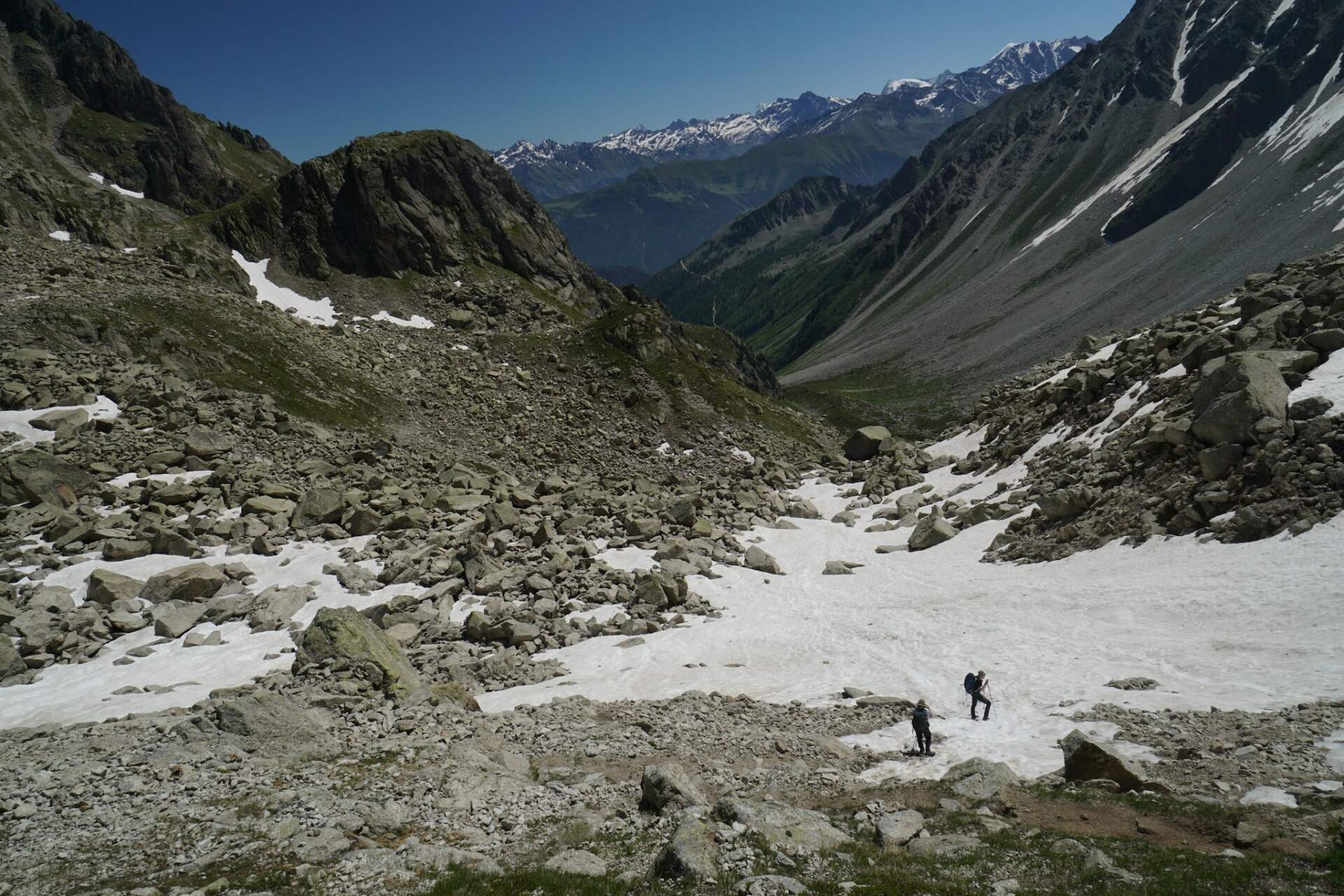
- day two: 37 km and 3,029 m of ascent
- snow above 2,600 m below Bivacco Gino Rainetto, where I turned back
- sections without water: beyond Col de Balme and before Altitude 2000
How I hiked it
The start in Les Houches and the first climb
3. 7.Les Houches+700 m
In the morning Evka and I paint greetings for the teachers at the school and kindergarten with the children. Only at twelve, when Evka takes the children to say goodbye at school, does she drop me at a petrol station on the motorway before Chambéry. With several cars I get to the town of Les Houches, a few kilometres before Chamonix. It is an ideal place to start the Tour du Mont Blanc, TMB for short.
It is four o’clock, overcast, and the mountains are hidden in clouds. I slowly climb 700 vertical metres above the ski resort. When it starts to drizzle, I wonder whether walking without views and getting wet as well makes much sense. At a fork the official route descends, while the alternative climbs towards views of the glacier. I have not really seen anything yet, so I go up. In a little wood beside the rack railway I find a fairly flat spot and by seven I am already in my sleeping bag.
At last I look properly at the maps. The TMB has several alternative trails and I try to pick those that stay in the mountains as much as possible. I also look at short side trips or ascents away from the main trail.
A long day with glaciers and Mt. Blanc at sunset
4. 7.37 km+3,029 m / −2,241 m
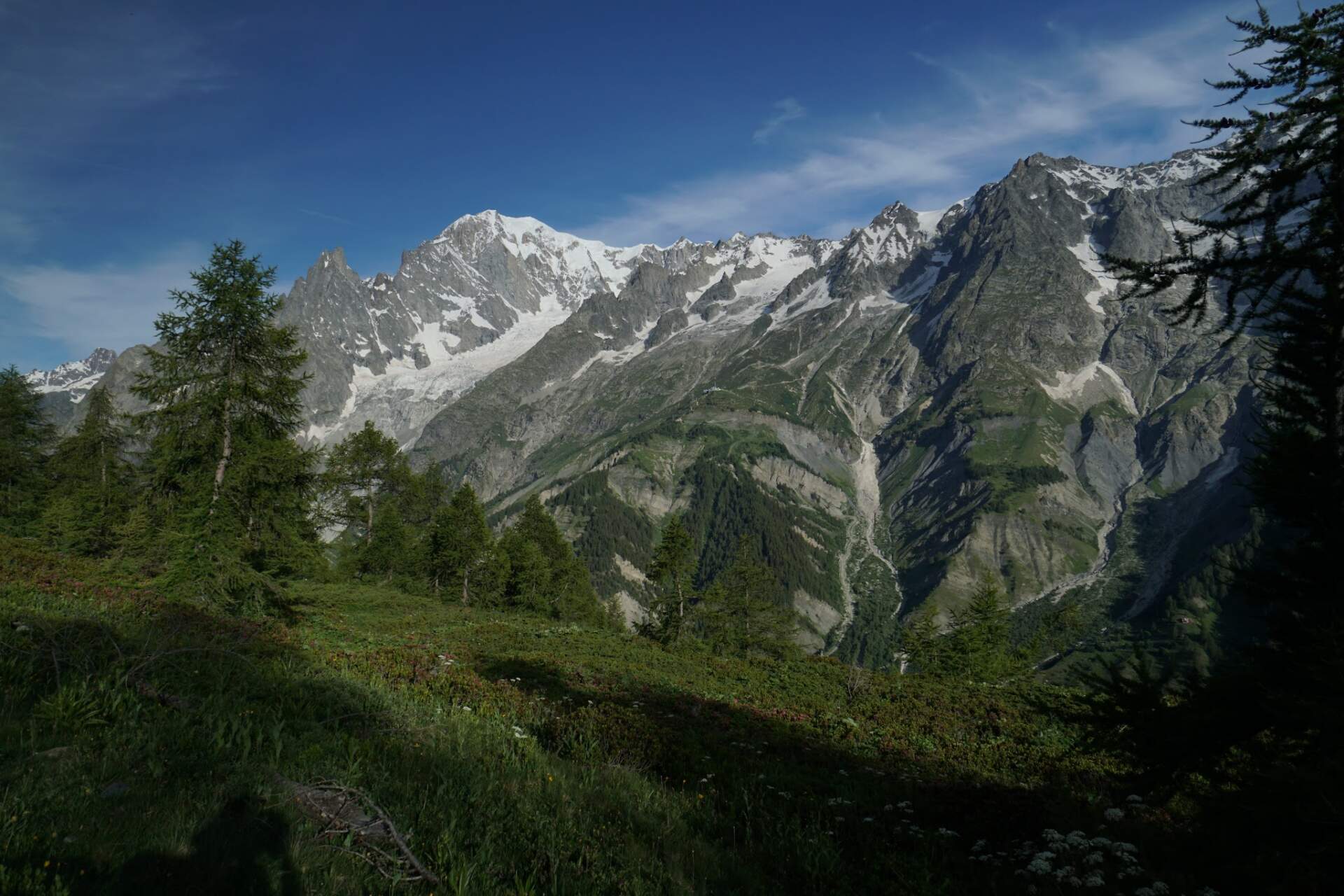
At six I am on my feet. I am still in the clouds, but they are higher now and slowly rising. I begin to see the surrounding mountains and soon the glacier below Aiguille de Bionnassay (4,052 m). The sky gradually clears and after the Col de Tricot saddle (2,110 m) I pass through a hamlet with the Refuge de Miage hostel (1,550 m). After a descent, the alternative route joins the main trail after a few hours. If I had taken the official route, I might have saved 1,000 vertical metres, but I would not have seen the glacier, or only from a distance. It was definitely worth it.
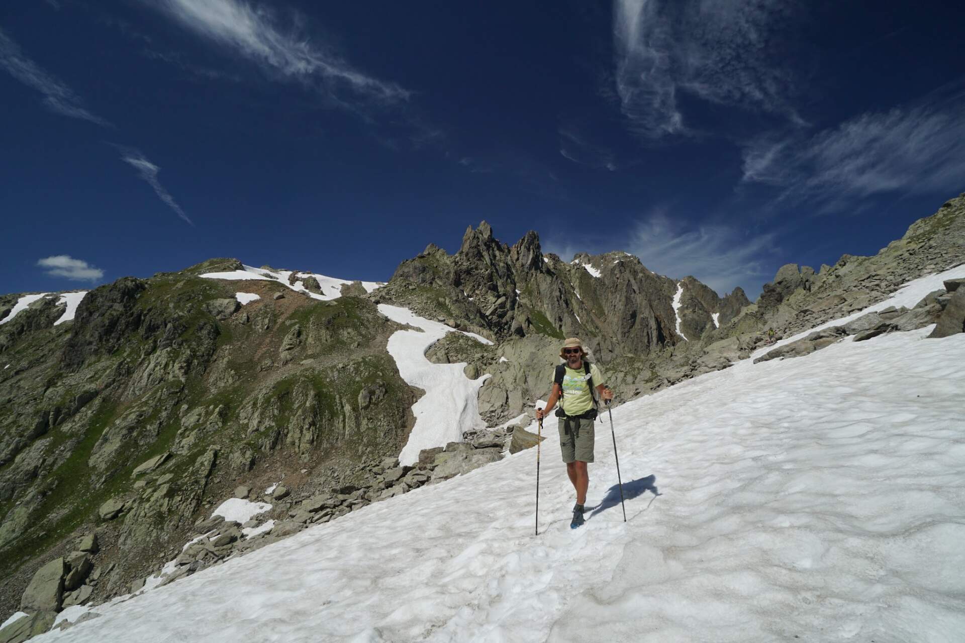
It is the weekend and there are people everywhere, many more than in Corsica: in a day I meet maybe 100 people. Beyond the hamlet, by the Notre-Dame de la Gorge church, I cook lunch. Before the Refuge de Col de la Croix du Bonhomme hut I choose the alternative route over the Col des Fours saddle (2,660 m) and walk several dozen metres through snow. I would rather climb 100 – 200 vertical metres higher than descend again into the village.
On the descent I am overtaken by a group of more than 10 runners with small rucksacks. They are running the whole loop, have four days planned and a support team, and sleep in huts. At the Chalet des Mottets I return to the official trail and decide to push on to the Col de la Seigne saddle (2,500 m) on the French-Italian border. There was enough water all day, I carry less than half a litre in my rucksack, and for the saddle I take a litre and a half from a stream.
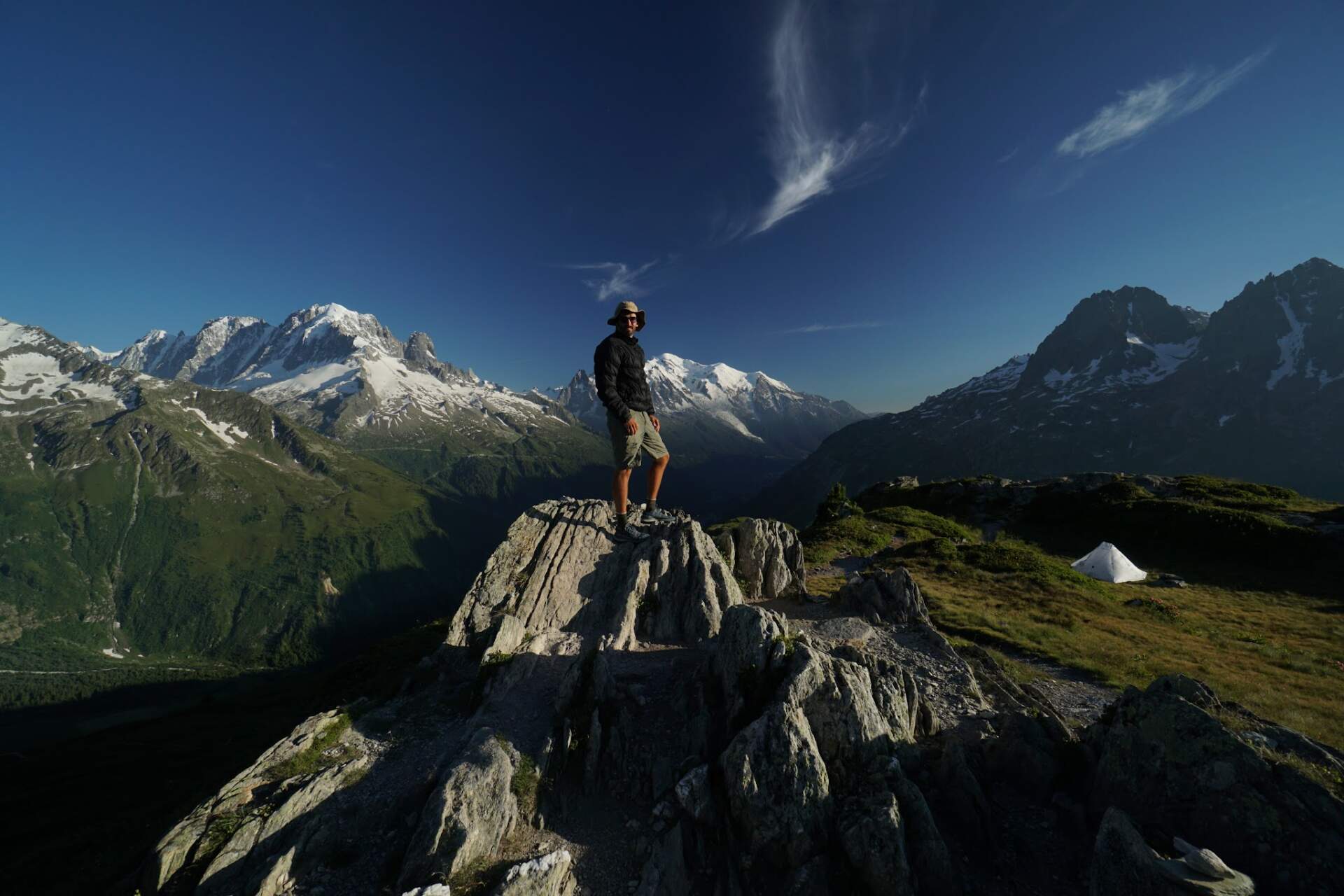
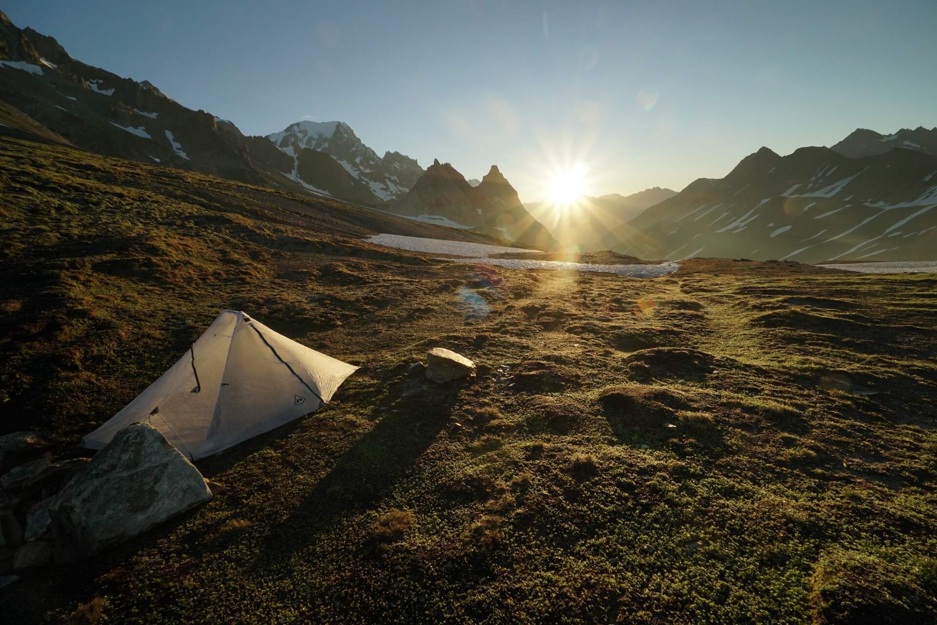
In the saddle there is a stone shelter that somebody built for camping. At half past eight I have the tent pitched and dinner cooked, and I watch the last rays fall on the glacier-covered summit of Mt. Blanc. Only a day later do I look at the statistics and the numbers surprise me: 37 km, 3,029 m of ascent and 2,241 m of descent. The days are long, so I simply walked.
A failed bivouac attempt and a swim in a lake
5. 7.Bivacco Gino RainettoCourmayeur
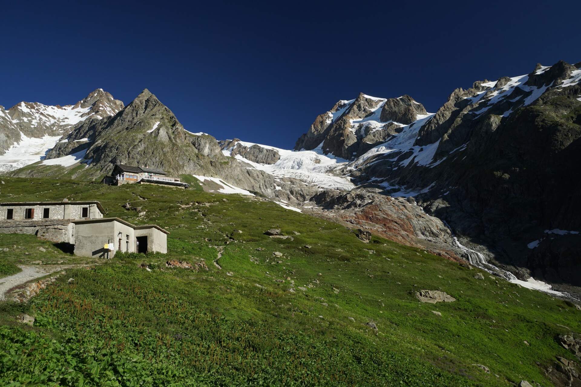
When the sun rises from behind the mountains at six, I descend past huts and glaciers down to Rifugio Combal. The restaurant only opens at ten; the owner’s man would let me use the toilet, but the boss does not want that, so I look for a spot outdoors. I can leave my things for the short hike under the owner’s car, which is not going anywhere today, and later through a window he gives me water for my bottle.
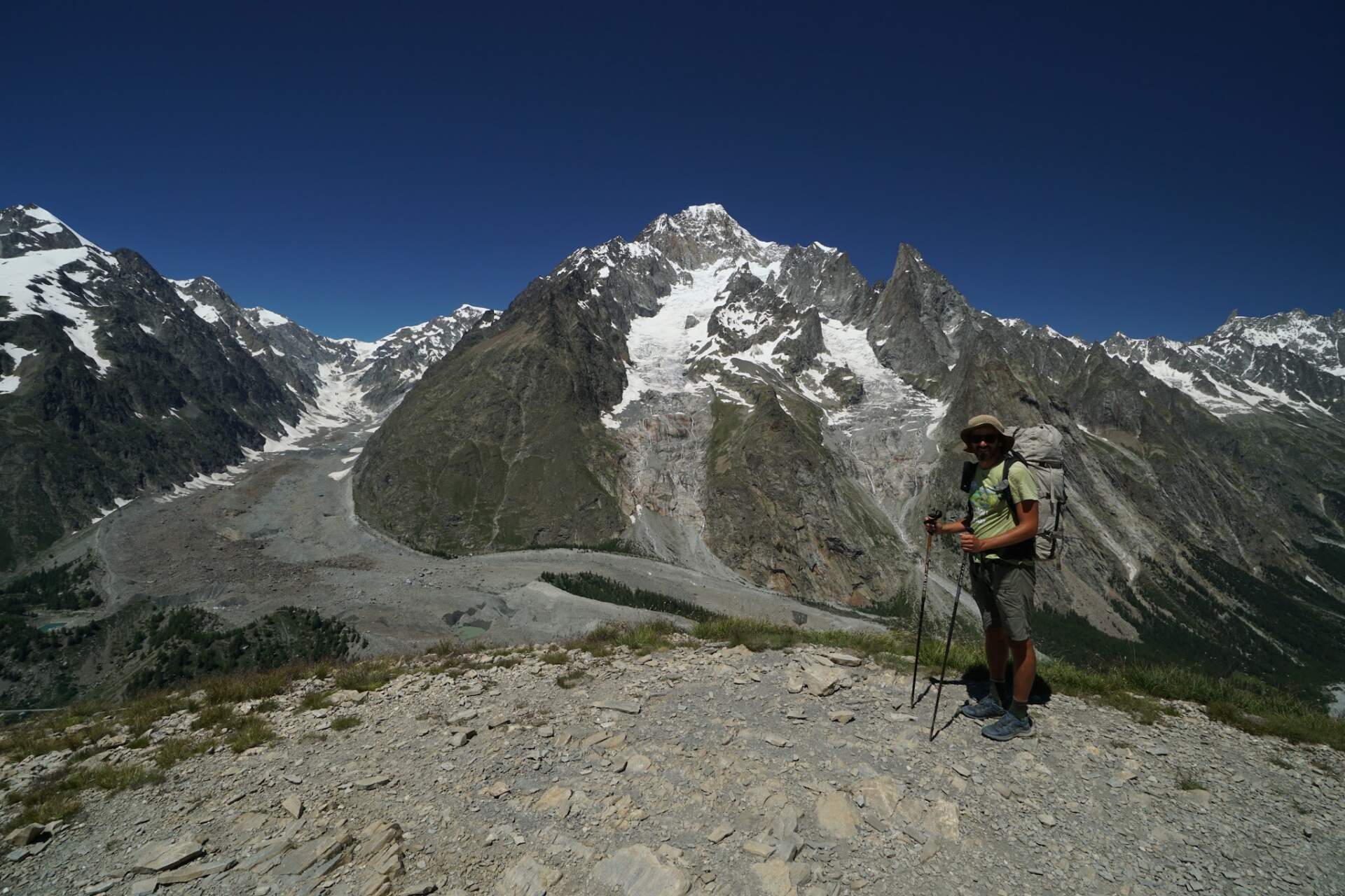
First I look at the little lake Lago del Miage by the glacier of Mt. Blanc. I watched the same glacier more than ten years ago from the Courmayeur ski resort, where I worked for two weeks as a snowboard instructor for English children. Now I want to climb to Bivacco Gino Rainetto at almost 3,000 m. Two lads coming down tell me that the snow starts at around 2,600 m and that in trainers I would not go further.
The trail is steeper and leads through a narrow gully. From 2,600 m there is snow. I hesitate for a moment, but carry on up to 2,700 m. Another 300 vertical metres in these conditions and with this kit could be my last if I slipped, so I turn back. I did the right thing.
After returning to the hut I pack my things and continue along the TMB through the Courmayeur resort. The views of the glacier are like from a fairy tale. When I see a lake of water for snowmaking, I do not hesitate and jump in. It is fresh, but worth it. During the day I meet a lot of people on day hikes, but only 10 – 15 who are doing the whole loop. Supposedly 10,000 people walk it every year, that is, in a year without corona.
In Courmayeur I buy more supplies, have tortillas with ham and mozzarella and move a little above the town. Between six and seven I find a nice spot for the tent, even though there will be light for a few more hours.
From the Italian glaciers to cloudy Switzerland
6. 7.Grand Col de Ferretthe Swiss border
Already before eight I am up at Rifugio Giorgio Bertone. I have breakfast and meet three older gentlemen whom I had already met the day before. This time I continue along the classic trail to the Swiss border. The alternative trail goes several hundred vertical metres higher, but is longer. The Italian side of the TMB is truly worth it.
It surprises me that the last hut in Italy, Refuge Elena, is closed. For the last 550 vertical metres I have 2 dl of water; luckily there is a little water in the middle of the climb. Just below the saddle there is a herd of maybe twenty Alpine ibex. Two lads on mountain bikes are coming the other way. The climb must be hard for them, I often see them pushing, but the descent must be worth it. In the Grand Col de Ferret saddle, on the border with Switzerland, I rest and have lunch. It is two o’clock.
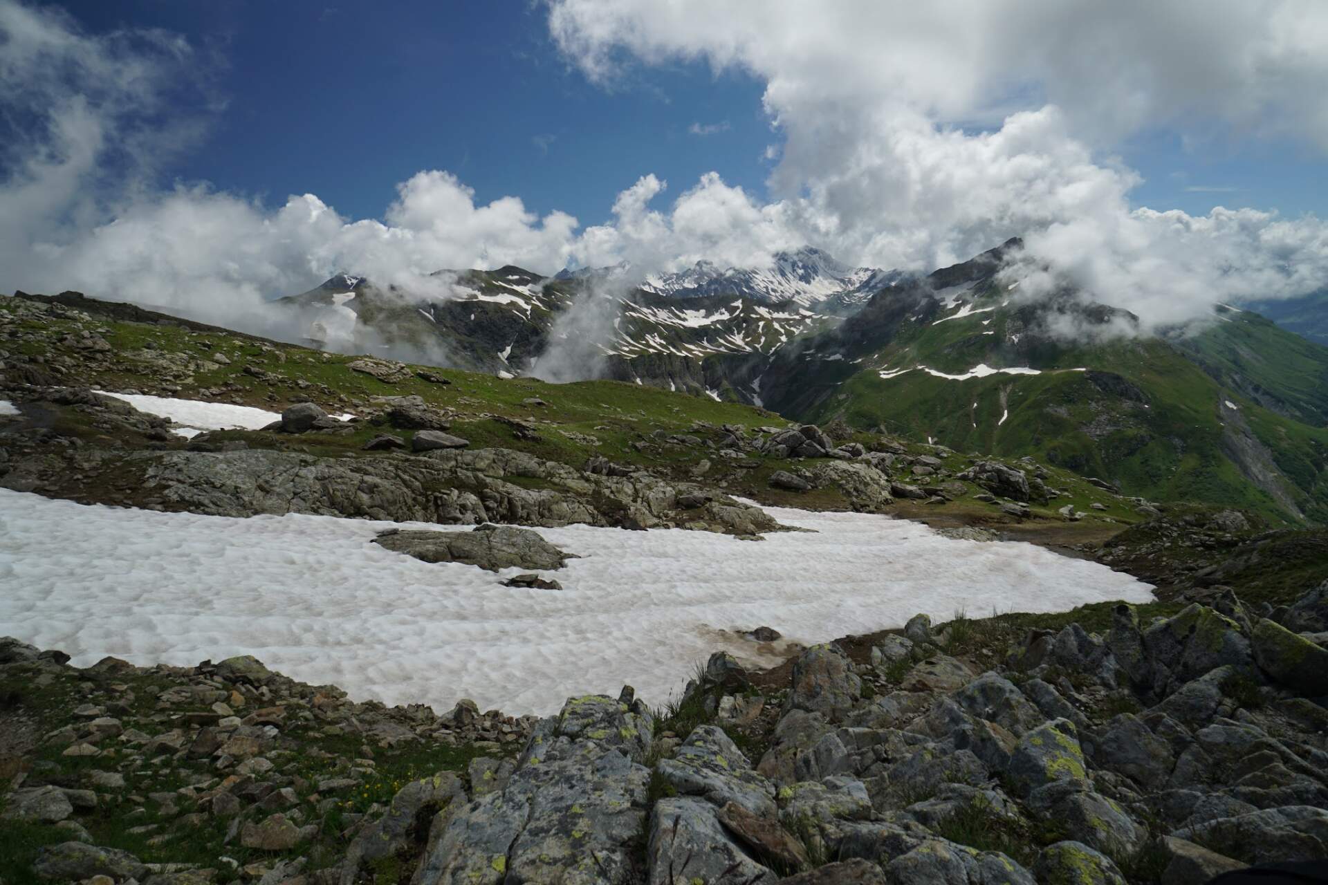
Right behind the saddle the sky is overcast and clouds shroud the mountains across the valley. The mountains further on are lower and I sense that a less interesting section awaits me for several hours. At the La Peule hut I just walk past and do not notice that the hiking trail goes straight down, so for a while I walk along a gravel road. I am surprised that all three cars have Romanian plates and that they brought a sleeping trailer up here. Could the hut keepers and shepherds of the local cows be Romanian?
Two alternative trails around the glacier and back to France
7. 7.Fenêtres d’Arpette 2,650 mAiguillettes des Posettes 2,201 m
In the morning I find out that I only had to walk a few minutes longer and I would have slept in a beautiful flat spot. I just pass through the village of Champex-Lac and turn onto the alternative route to the Fenêtres d’Arpette saddle (2,650 m). From a distance it looks as if there will be a lot of snow. The lady at the information centre in La Fouly also told me there was a lot of snow and that nobody had crossed it this year. Her words seemed odd to me, and I rather thought the lady probably does not go to the mountains much.
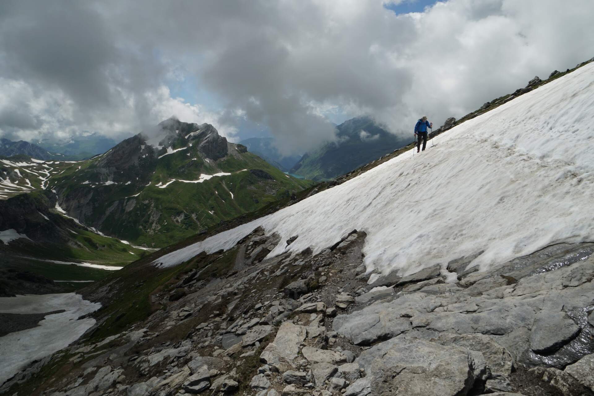
At the Relais d’Arpette hut below the saddle they say that at least 5 – 10 people pass every day and stop with them, so I walk on. Only while walking do I find out that the saddle cannot even be seen from the valley, it is hidden behind rocks. During the whole climb I cross only one short, gently sloping section of snow, otherwise it is easy.
From the saddle and on the descent there are wonderful views of the Trient glacier. In the saddle I realise that I do not have to go to the village of Trient, but can follow a trail that traverses all the way to the French border. At the Chalet du Glacier hut I cook, dry my sleeping bag and rest, then climb again. One section on the way to the Les Grands hut is secured by chains, and for two hours I meet nobody. Only on the terrace of the hut in the Col de Balme saddle, on the French border, do I meet eight people.
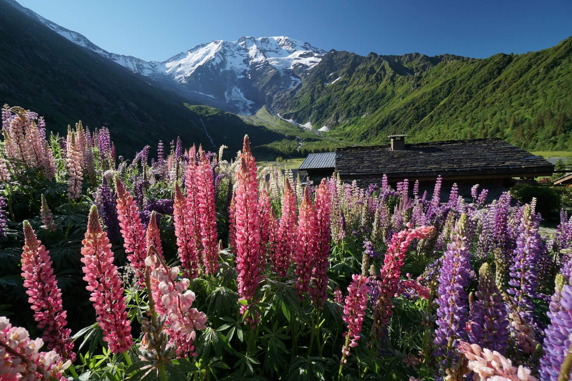
It is half past five, so I carry on. At a water source half an hour later I cook dinner, because I know there will be no water further on. With the last climb of the day I reach Aiguillettes des Posettes (2,201 m), a summit with a 360-degree view. Right on top there is a flat grassy clearing where I pitch the tent. In the morning it would not have occurred to me that in the evening I would be in France again with such a view of Mt. Blanc in the distance at sunset. I am already in the tent when a couple arrives on the mountain and sets up a few dozen metres away.
A swim in a frozen lake with views of Mt. Blanc
8. 7.Lac BlancLe Brévent 2,525 m
The sunrise is just as beautiful. After an hour or two of descent I come to a paved road with wooden picnic tables, at one of which a group of locals is sitting. I ask whether I can buy a baguette at the nearby campsite. When they find out that I do not have one, which sounds unbelievable to a Frenchman, they offer me from their supplies: homemade banana cake and a baguette with jam. I get half a baguette as a send-off.
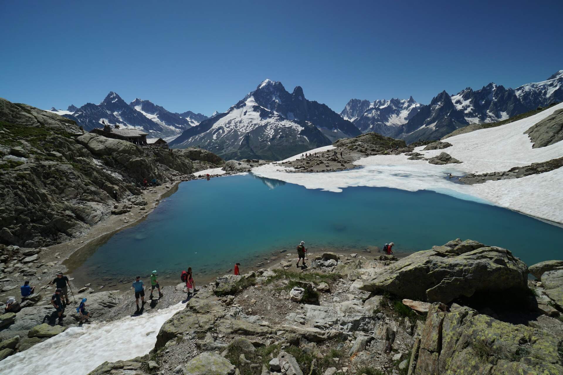
After a seven-hundred-metre descent I climb again, gradually over 1,000 vertical metres, onto a range separated by a valley from the glaciers and the Mt. Blanc massif. In places there are metal handholds and footholds on the rocks. The normal TMB runs quite along the contour, but you can also go higher, and so I arrive at Lac Blanc. On one side its surface is frozen with snow, on the other a few brave people are swimming. I had not swum for a long time and hesitate for a moment, but in the end I go. The refreshment after a minute or two in icy water is worth it, especially when it is beautifully sunny.
I climb on to the upper station of the Index cable car and up to the Col de la Glière saddle. The view of the black lakes Lac Noir d’en Haut and the surrounding mountains is amazing. A woman comes towards me: “Nice rucksack. Were you on the PCT?” “Yes.” “When?” “Last year. And you?” “Me too. What is your trail name?” “Fly. And yours?” “Locomotive.” We talk for several more minutes. She started her PCT a few weeks later. Now she was walking the Italian sections of the Via Alpina, skipped some of them and was slowly getting closer to her home in Zürich. If it were not for corona, she had planned to walk the Appalachian Trail with her boyfriend.
Another traverse takes me to the cable car by the Altitude 2000 restaurant, which is already closed. For the last two hours there was no water anywhere, only snow. In one place under the snow there is a fairly large puddle; in several rounds I collect water, filter it and cook dinner. After an hour’s break I climb over Col de Brévent up to the summit of Le Brévent (2,525 m) with a viewing terrace and a panoramic view of Mt. Blanc.
A little lower, a lad is trying to pitch a tent, but he says the ground is hard and he will sleep without a tent. After a moment’s hesitation I set up right on the restaurant terrace: I am sheltered from the wind and it is the spot with the best view. In the morning, when the first cable car runs, I will be long gone. I have the tent only as protection against punctures of my sleeping mat and I do not pitch it. The last rays fall on Mt. Blanc just before half past nine.
The end of the loop in Les Houches
9. 7.Les Houches164 km in total
I take my first photos already at 5:41. The lad a little lower is gone; I assume he was very cold in the wind at night and moved lower. I walk past two tents all the way to the camp by the Chalet de Bellachat and do not stop. I descend to Les Houches, the village where I started. In the grocery shop I buy more food and outside I have a big breakfast. In my rucksack I had only the last portion of oats, so I had planned the food surprisingly well.
In total I walked 164 kilometres on the hike around Mont Blanc and climbed 11,500 metres up and the same down. Compared with the official trail I walked 4 kilometres less and climbed 2,500 metres more.
My route on the map
A recording of my route (163.7 km according to Outdooractive). You can zoom and pan the map and switch to another base map (topo, satellite, OpenStreetMap).
Elevation profile
Highest point of the recording: 2,769 m above sea level (elevations from GPS, approximate). According to Outdooractive the route is 163.7 km long, with 11,468 m of ascent and 11,435 m of descent.
Best season and conditions
July 2020 (my trip)
I went on 3 – 9 July 2020. In the passes I ran into snow: above 2,600 m below Bivacco Gino Rainetto (I turned back), on Col des Fours and briefly below Fenêtres d’Arpette. At the weekend there were a lot of people on the trails.
Permits, transport and safety
Transport
I started and finished the loop in Les Houches, a few kilometres before Chamonix. I got there from the motorway before Chambéry with several cars.
Supplies and water
I topped up supplies in Courmayeur and Les Houches. I took water from streams, but twice it was missing: the last two hours before Altitude 2000 and beyond Col de Balme, where I relied on snow and a puddle under it.
Sleeping
I camped in the forest above Les Houches, in the Col de la Seigne saddle, on the summit of Aiguillettes des Posettes and on the Le Brévent terrace. Camping rules differ by country, so check them before the trip.